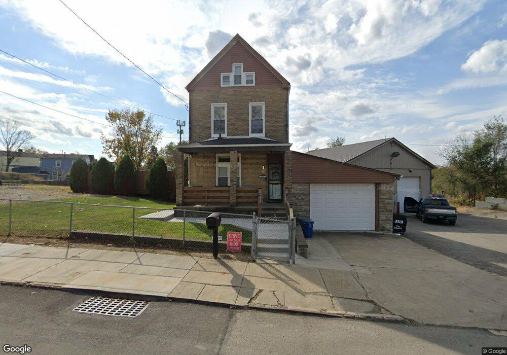
6332 Dean St Pittsburgh, PA 15206
Lincoln-Lemington-Belmar NeighborhoodEstimated Value: $82,000 - $164,530
4
Beds
2
Baths
2,052
Sq Ft
$60/Sq Ft
Est. Value
About This Home
This home is located at 6332 Dean St, Pittsburgh, PA 15206 and is currently estimated at $122,133, approximately $59 per square foot. 6332 Dean St is a home located in Allegheny County with nearby schools including Lincoln PreK-5 School, Westinghouse High School, and Catalyst Academy Charter School.
Ownership History
Date
Name
Owned For
Owner Type
Purchase Details
Closed on
Nov 29, 2007
Sold by
Milliones Clifford
Bought by
Givner Damon R and Daniels,Royce G
Current Estimated Value
Home Financials for this Owner
Home Financials are based on the most recent Mortgage that was taken out on this home.
Original Mortgage
$39,382
Outstanding Balance
$25,158
Interest Rate
6.48%
Mortgage Type
FHA
Estimated Equity
$96,975
Purchase Details
Closed on
Dec 26, 1997
Sold by
Demeo Gaspare and Demeo Michelina
Bought by
Milliones Clifford and Milliones Damon
Create a Home Valuation Report for This Property
The Home Valuation Report is an in-depth analysis detailing your home's value as well as a comparison with similar homes in the area
Home Values in the Area
Average Home Value in this Area
Purchase History
| Date | Buyer | Sale Price | Title Company |
|---|---|---|---|
| Givner Damon R | $40,000 | -- | |
| Milliones Clifford | $5,400 | -- |
Source: Public Records
Mortgage History
| Date | Status | Borrower | Loan Amount |
|---|---|---|---|
| Open | Givner Damon R | $39,382 |
Source: Public Records
Tax History Compared to Growth
Tax History
| Year | Tax Paid | Tax Assessment Tax Assessment Total Assessment is a certain percentage of the fair market value that is determined by local assessors to be the total taxable value of land and additions on the property. | Land | Improvement |
|---|---|---|---|---|
| 2025 | $986 | $42,800 | $4,500 | $38,300 |
| 2024 | $986 | $42,800 | $4,500 | $38,300 |
| 2023 | $986 | $42,800 | $4,500 | $38,300 |
| 2022 | $973 | $42,800 | $4,500 | $38,300 |
| 2021 | $887 | $42,800 | $4,500 | $38,300 |
| 2020 | $969 | $42,800 | $4,500 | $38,300 |
| 2019 | $969 | $42,800 | $4,500 | $38,300 |
| 2018 | $969 | $42,800 | $4,500 | $38,300 |
| 2017 | $969 | $42,800 | $4,500 | $38,300 |
| 2016 | $202 | $42,800 | $4,500 | $38,300 |
| 2015 | $202 | $42,800 | $4,500 | $38,300 |
| 2014 | $947 | $28,000 | $4,000 | $24,000 |
Source: Public Records
Map
Nearby Homes
- 6405 Apple St
- 6444 Apple St
- 6511 Clifford St
- 7231 Baker St
- 6471 Stanton Ave
- 6552 Deary St
- 6517 Stanton Ave
- 6601 Apple St
- 6526 Jackson St
- 120 Shetland St
- 6701 Stanton Ave
- 1020 Winterton St
- 1024 Winterton St
- 943 Wellesley Rd
- 517 Winfield St
- 1353 Paulson Ave
- 1303 Olivant St
- 1011 Winterton St
- 6338 Glenview Place
- 6710 Rowan St