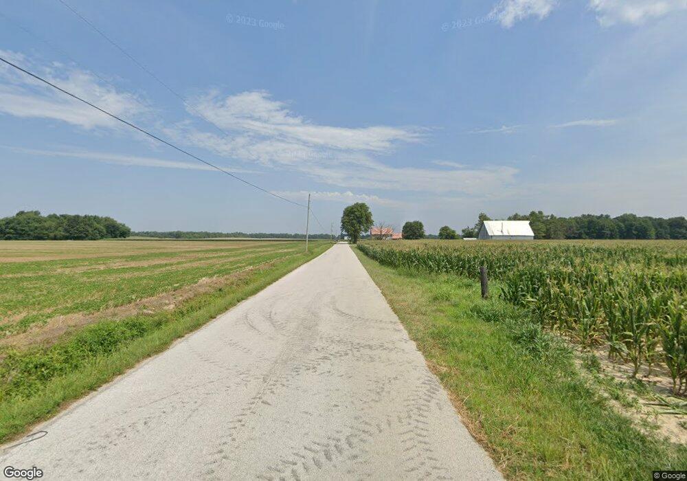
6332 S 175 E Fort Branch, IN 47648
Estimated Value: $385,000 - $472,158
3
Beds
2
Baths
2,808
Sq Ft
$153/Sq Ft
Est. Value
About This Home
This home is located at 6332 S 175 E, Fort Branch, IN 47648 and is currently estimated at $430,719, approximately $153 per square foot. 6332 S 175 E is a home located in Gibson County with nearby schools including Gibson Southern High School and Holy Cross School.
Create a Home Valuation Report for This Property
The Home Valuation Report is an in-depth analysis detailing your home's value as well as a comparison with similar homes in the area
Tax History
| Year | Tax Paid | Tax Assessment Tax Assessment Total Assessment is a certain percentage of the fair market value that is determined by local assessors to be the total taxable value of land and additions on the property. | Land | Improvement |
|---|---|---|---|---|
| 2024 | $2,207 | $270,200 | $35,600 | $234,600 |
| 2023 | $2,121 | $242,200 | $33,000 | $209,200 |
| 2022 | $1,805 | $199,000 | $30,300 | $168,700 |
| 2021 | $1,559 | $167,400 | $28,800 | $138,600 |
| 2020 | $1,564 | $171,400 | $28,700 | $142,700 |
| 2019 | $1,555 | $173,500 | $30,700 | $142,800 |
| 2018 | $1,347 | $153,500 | $31,000 | $122,500 |
| 2017 | $1,233 | $152,500 | $32,600 | $119,900 |
| 2016 | $1,219 | $153,300 | $33,400 | $119,900 |
| 2014 | $1,013 | $139,400 | $34,000 | $105,400 |
| 2013 | -- | $138,800 | $32,000 | $106,800 |
Source: Public Records
Map
Nearby Homes
- 6000 S Us Hwy 41 N
- 205 S Us Highway 41
- 806 E Park St
- 104 N Walters St
- 500 N Church St
- 206 N Church St
- 209 S Main St
- 986 Indiana 168
- 206 W Gibson St
- 301 S 4th Ave
- 525 S 8th Ave
- 81 E 200 S
- 10160 S Quail Crossing
- 0 S 325 W
- 000 S 200 E
- 1313 S Baldwin Ct
- 1005 E Ohio St
- 915 E Kentucky St
- 911 E Kentucky St
- 403 E Illinois St
