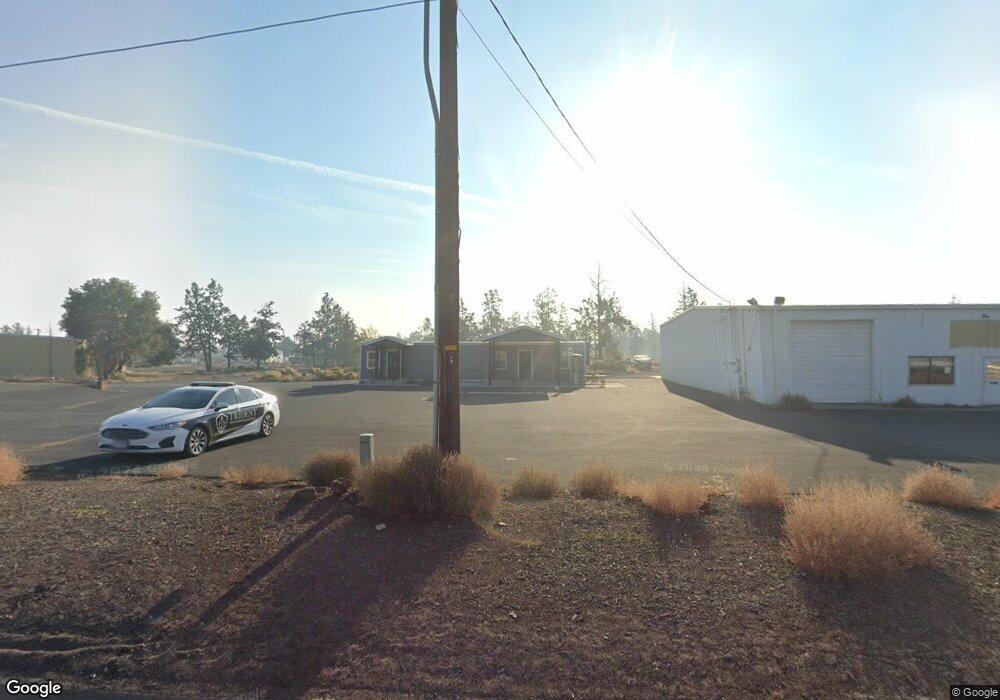
63330 N Highway 97 Bend, OR 97701
Boyd Acres NeighborhoodEstimated Value: $365,000
3
Beds
2
Baths
15,772
Sq Ft
$23/Sq Ft
Est. Value
About This Home
This home is located at 63330 N Highway 97, Bend, OR 97701 and is currently priced at $365,000, approximately $23 per square foot. 63330 N Highway 97 is a home located in Deschutes County with nearby schools including Lava Ridge Elementary School, Sky View Middle School, and Mountain View Senior High School.
Ownership History
Date
Name
Owned For
Owner Type
Purchase Details
Closed on
Jan 17, 2024
Sold by
Thomas Acquisitions Group Llc
Bought by
Matt Thomas Trust and Thomas
Current Estimated Value
Create a Home Valuation Report for This Property
The Home Valuation Report is an in-depth analysis detailing your home's value as well as a comparison with similar homes in the area
Home Values in the Area
Average Home Value in this Area
Purchase History
| Date | Buyer | Sale Price | Title Company |
|---|---|---|---|
| Matt Thomas Trust | -- | None Listed On Document |
Source: Public Records
Tax History Compared to Growth
Tax History
| Year | Tax Paid | Tax Assessment Tax Assessment Total Assessment is a certain percentage of the fair market value that is determined by local assessors to be the total taxable value of land and additions on the property. | Land | Improvement |
|---|---|---|---|---|
| 2025 | $41,747 | $2,470,780 | -- | -- |
| 2024 | $40,165 | $2,398,820 | -- | -- |
| 2023 | $37,233 | $2,328,960 | $0 | $0 |
| 2022 | $34,737 | $2,195,280 | $0 | $0 |
| 2021 | $34,790 | $2,131,340 | $0 | $0 |
| 2020 | $33,005 | $2,131,340 | $0 | $0 |
| 2019 | $32,086 | $2,069,270 | $0 | $0 |
| 2018 | $31,179 | $2,009,000 | $0 | $0 |
| 2017 | $30,265 | $1,950,490 | $0 | $0 |
| 2016 | $29,737 | $1,951,120 | $0 | $0 |
| 2015 | $28,913 | $1,894,300 | $0 | $0 |
| 2014 | $28,061 | $1,839,130 | $0 | $0 |
Source: Public Records
Map
Nearby Homes
- 20570 Fred Meyers Rd
- 20629 Whitewing Ct
- 20585 Fred Meyers Rd
- 20298 Poe Sholes Dr
- 63233 Carly Ln
- 63229 NE Carly Ln
- 63143 Beaufort Ct
- 63225 Carly Ln
- 63221 Carly Ln
- 63217 Carly Ln
- 63254 Carly Ln
- 63250 NE Carly Ln
- 63246 NE Carly Ln
- 63238 Carly Ln
- 63230 Carly Ln
- 63226 Carly Ln
- 63222 Carly Ln
- 63218 Carly Ln
- 63210 Carly Ln
- 63117 De Haviland Ct
- 63330 N Hwy 97
- 63345 Nels Anderson Rd
- 63291 Nels Anderson Rd
- 63353 Nels Anderson Rd
- 63455 N Highway 97 Unit 84
- 63348 NE Nels Anderson Rd
- 63270 Lyman Place
- 63270 Lyman Place Unit B
- 63352 Nels Anderson Rd
- 0 N Hwy 97 Unit 2002132
- 0 N Hwy 97 Unit 2903351
- 63273 Nels Anderson Rd
- 63299 Vogt Rd
- 63305 Vogt Rd
- 63311 Vogt Rd
- 63287 Vogt Rd
- 63317 Vogt Rd
- 63285 Vogt Rd
- 63323 Vogt Rd