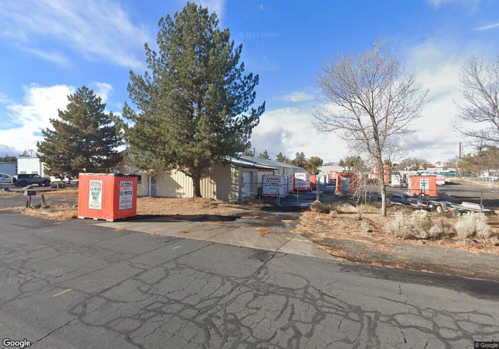
63353 Nels Anderson Rd Bend, OR 97701
Boyd Acres NeighborhoodEstimated Value: $2,845,217
--
Bed
--
Bath
7,396
Sq Ft
$385/Sq Ft
Est. Value
About This Home
This home is located at 63353 Nels Anderson Rd, Bend, OR 97701 and is currently estimated at $2,845,217, approximately $384 per square foot. 63353 Nels Anderson Rd is a home located in Deschutes County with nearby schools including Lava Ridge Elementary School, Sky View Middle School, and Mountain View Senior High School.
Ownership History
Date
Name
Owned For
Owner Type
Purchase Details
Closed on
Nov 22, 2023
Sold by
Sdp Development Group Llc
Bought by
Five Sac Self-Storage Corporation
Current Estimated Value
Purchase Details
Closed on
Dec 31, 2018
Sold by
Sdp Development Llc
Bought by
Sdp Development Group Llc
Purchase Details
Closed on
Dec 28, 2015
Sold by
Backsen Enterprises Llc
Bought by
Sdp Development Llc
Purchase Details
Closed on
Apr 5, 2014
Sold by
Crooch Karen E
Bought by
Backsen Enterprises Llc
Home Financials for this Owner
Home Financials are based on the most recent Mortgage that was taken out on this home.
Original Mortgage
$371,250
Interest Rate
4.3%
Mortgage Type
Commercial
Create a Home Valuation Report for This Property
The Home Valuation Report is an in-depth analysis detailing your home's value as well as a comparison with similar homes in the area
Home Values in the Area
Average Home Value in this Area
Purchase History
| Date | Buyer | Sale Price | Title Company |
|---|---|---|---|
| Five Sac Self-Storage Corporation | $2,800,000 | Western Title | |
| Sdp Development Group Llc | -- | Accommodation | |
| Sdp Development Llc | $650,000 | Amerititle | |
| Backsen Enterprises Llc | $495,000 | Amerititle |
Source: Public Records
Mortgage History
| Date | Status | Borrower | Loan Amount |
|---|---|---|---|
| Previous Owner | Backsen Enterprises Llc | $371,250 |
Source: Public Records
Tax History Compared to Growth
Tax History
| Year | Tax Paid | Tax Assessment Tax Assessment Total Assessment is a certain percentage of the fair market value that is determined by local assessors to be the total taxable value of land and additions on the property. | Land | Improvement |
|---|---|---|---|---|
| 2025 | $10,712 | $634,000 | -- | -- |
| 2024 | $10,306 | $615,540 | -- | -- |
| 2023 | $9,554 | $597,620 | $0 | $0 |
| 2022 | $8,914 | $563,330 | $0 | $0 |
| 2021 | $8,927 | $546,930 | $0 | $0 |
| 2020 | $8,469 | $546,930 | $0 | $0 |
| 2019 | $8,234 | $531,000 | $0 | $0 |
| 2018 | $8,001 | $515,540 | $0 | $0 |
| 2017 | $7,767 | $500,530 | $0 | $0 |
| 2016 | $7,406 | $485,960 | $0 | $0 |
| 2015 | $7,201 | $471,810 | $0 | $0 |
| 2014 | $6,989 | $458,070 | $0 | $0 |
Source: Public Records
Map
Nearby Homes
- 20629 Whitewing Ct
- 20570 Fred Meyers Rd
- 20585 Fred Meyers Rd
- 63233 Carly Ln
- 63229 NE Carly Ln
- 63225 Carly Ln
- 63254 Carly Ln
- 63221 Carly Ln
- 63250 NE Carly Ln
- 63217 Carly Ln
- 63246 NE Carly Ln
- 63238 Carly Ln
- 63230 Carly Ln
- 63226 Carly Ln
- 63222 Carly Ln
- 63218 Carly Ln
- 63210 Carly Ln
- 20640 Kandi Ct
- 20676 Morningstar Dr
- Avery Plan at Acadia Pointe
- 63345 Nels Anderson Rd
- 63352 Nels Anderson Rd
- 63356 Nels Anderson Rd
- 63356 Nels Anderson Rd Unit 14
- 63348 NE Nels Anderson Rd
- 63351 Vogt Rd
- 63347 Vogt Rd
- 63341 Vogt Rd
- 63330 N Hwy 97
- 63330 N Highway 97
- 63361 Vogt Rd
- 63335 Vogt Rd
- 20505 Robal Ln
- 63329 Vogt Rd
- 63323 Vogt Rd
- 63317 Vogt Rd
- 20525 Robal Ln
- 63371 Vogt Rd
- 63455 N Highway 97 Unit 84
- 63311 Vogt Rd