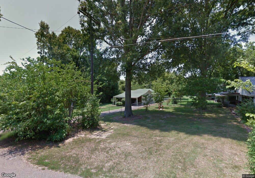
6337 Fern Rd Millington, TN 38053
Estimated Value: $104,000 - $137,000
1
Bed
1
Bath
1,056
Sq Ft
$113/Sq Ft
Est. Value
About This Home
This home is located at 6337 Fern Rd, Millington, TN 38053 and is currently estimated at $119,295, approximately $112 per square foot. 6337 Fern Rd is a home located in Shelby County with nearby schools including Millington Elementary School, Millington High School, and Woodlawn Baptist Academy.
Ownership History
Date
Name
Owned For
Owner Type
Purchase Details
Closed on
Jun 21, 2002
Sold by
Vandergrift Micheal Alan and Vandergrift Micheal A
Bought by
Hud
Current Estimated Value
Purchase Details
Closed on
Oct 25, 1996
Sold by
Parham Ricky Joe and Parham Barbara K
Bought by
Vandergrift Michael Alan and Vandergrift Michael A
Home Financials for this Owner
Home Financials are based on the most recent Mortgage that was taken out on this home.
Original Mortgage
$50,384
Interest Rate
8.15%
Mortgage Type
FHA
Purchase Details
Closed on
Oct 24, 1994
Bought by
Parham Ricky J and Parham Barbara K
Create a Home Valuation Report for This Property
The Home Valuation Report is an in-depth analysis detailing your home's value as well as a comparison with similar homes in the area
Home Values in the Area
Average Home Value in this Area
Purchase History
| Date | Buyer | Sale Price | Title Company |
|---|---|---|---|
| Hud | $57,066 | -- | |
| Vandergrift Michael Alan | $49,900 | -- | |
| Parham Ricky J | $15,000 | -- |
Source: Public Records
Mortgage History
| Date | Status | Borrower | Loan Amount |
|---|---|---|---|
| Previous Owner | Vandergrift Michael Alan | $50,384 |
Source: Public Records
Tax History Compared to Growth
Tax History
| Year | Tax Paid | Tax Assessment Tax Assessment Total Assessment is a certain percentage of the fair market value that is determined by local assessors to be the total taxable value of land and additions on the property. | Land | Improvement |
|---|---|---|---|---|
| 2025 | $373 | $22,875 | $1,900 | $20,975 |
| 2024 | $903 | $13,325 | $1,800 | $11,525 |
| 2023 | $638 | $13,325 | $1,800 | $11,525 |
| 2022 | $638 | $13,325 | $1,800 | $11,525 |
| 2021 | $646 | $13,325 | $1,800 | $11,525 |
| 2020 | $621 | $11,125 | $1,800 | $9,325 |
| 2019 | $451 | $11,125 | $1,800 | $9,325 |
| 2018 | $621 | $11,125 | $1,800 | $9,325 |
| 2017 | $627 | $11,125 | $1,800 | $9,325 |
| 2016 | $602 | $10,200 | $0 | $0 |
| 2014 | $446 | $10,200 | $0 | $0 |
Source: Public Records
Map
Nearby Homes
- 4140 Pleasant Ridge Rd
- 3545 Lucy Rd
- 4578 Basun Cir E
- 6866 Basun Cir E
- 4235 Sykes Rd
- 4469 Queen Sinclair Cir
- 5975 Prairie Cove
- 4537 Kings Station Rd
- 3945 Crenshaw Rd
- 4551 Waverly Farms Rd
- 6968 Tennessee 3
- 4385 Ridge Bay Cove
- 4600 Goldsby Place
- 4527 Basun Cir S
- 4531 Basun Cir S
- 4428 Duncan Rd
- 6746 Old Millington Rd
- 4537 Basun Cir S
- 4578 Basun Cir N
- 4703 Cedar Rose Dr