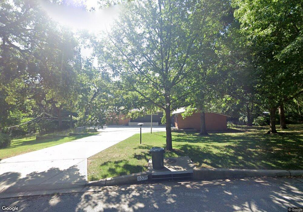
6339 Robinhood Dr Shawnee, KS 66203
Estimated Value: $405,000 - $440,569
3
Beds
3
Baths
1,746
Sq Ft
$243/Sq Ft
Est. Value
About This Home
This home is located at 6339 Robinhood Dr, Shawnee, KS 66203 and is currently estimated at $424,392, approximately $243 per square foot. 6339 Robinhood Dr is a home located in Johnson County with nearby schools including Merriam Park Elementary School, Hocker Grove Middle School, and Shawnee Mission North High School.
Ownership History
Date
Name
Owned For
Owner Type
Purchase Details
Closed on
Apr 14, 2008
Sold by
Haraldson Harold L
Bought by
Garcia Delia M and Chamberlain Eliodora J
Current Estimated Value
Home Financials for this Owner
Home Financials are based on the most recent Mortgage that was taken out on this home.
Original Mortgage
$211,850
Outstanding Balance
$133,286
Interest Rate
5.84%
Mortgage Type
New Conventional
Estimated Equity
$291,106
Create a Home Valuation Report for This Property
The Home Valuation Report is an in-depth analysis detailing your home's value as well as a comparison with similar homes in the area
Home Values in the Area
Average Home Value in this Area
Purchase History
| Date | Buyer | Sale Price | Title Company |
|---|---|---|---|
| Garcia Delia M | -- | Kansas City Title |
Source: Public Records
Mortgage History
| Date | Status | Borrower | Loan Amount |
|---|---|---|---|
| Open | Garcia Delia M | $211,850 |
Source: Public Records
Tax History Compared to Growth
Tax History
| Year | Tax Paid | Tax Assessment Tax Assessment Total Assessment is a certain percentage of the fair market value that is determined by local assessors to be the total taxable value of land and additions on the property. | Land | Improvement |
|---|---|---|---|---|
| 2024 | $5,282 | $48,209 | $11,673 | $36,536 |
| 2023 | $4,648 | $43,448 | $11,673 | $31,775 |
| 2022 | $4,537 | $40,836 | $10,628 | $30,208 |
| 2021 | $4,164 | $35,915 | $9,215 | $26,700 |
| 2020 | $3,862 | $33,074 | $9,215 | $23,859 |
| 2019 | $3,591 | $30,762 | $8,007 | $22,755 |
| 2018 | $3,391 | $28,934 | $7,291 | $21,643 |
| 2017 | $3,000 | $25,139 | $7,291 | $17,848 |
| 2016 | $2,876 | $23,943 | $7,291 | $16,652 |
| 2015 | $2,685 | $22,517 | $7,291 | $15,226 |
| 2013 | -- | $22,299 | $7,291 | $15,008 |
Source: Public Records
Map
Nearby Homes
- 10120 W 65th St
- 6420 Ballentine St
- 10924 W 67th St
- 5933 Knox Ave
- 10235 W 70th St
- 10024 W 70th Terrace
- 6901 Grandview St
- 9906 Edelweiss Cir
- 10406 W 71st Place
- 10152 Edelweiss Cir
- 6724 Mackey St
- 10236 Edelweiss Cir
- 6213 Terrydale St
- 10914 W 71st St
- 11217 W 69th Terrace
- 10314 W 73rd St
- 8510 W 61st St
- 10902 W 71st Place
- 6720 Hadley Ln
- 7240 Mastin St
- 6339 Robin Hood Dr
- 6337 Robinhood Dr
- 6337 Robinhood Ln
- 6341 Robinhood Dr
- 9918 W 65th Dr
- 9920 W 65th Dr
- 6340 Robin Hood Dr
- 6340 Robinhood Ln
- 9916 W 65th Dr
- 6336 Robin Hood Dr
- 6336 Robinhood Ln
- 9922 W 65th Dr
- 6335 Robin Hood Dr
- 6335 Robinhood Ln
- 6343 Robinhood Dr
- 9914 W 65th Dr
- 6344 Robin Hood Dr
- 6344 Robinhood Ln
- 6334 Robin Hood Dr
- 6334 Robinhood Ln