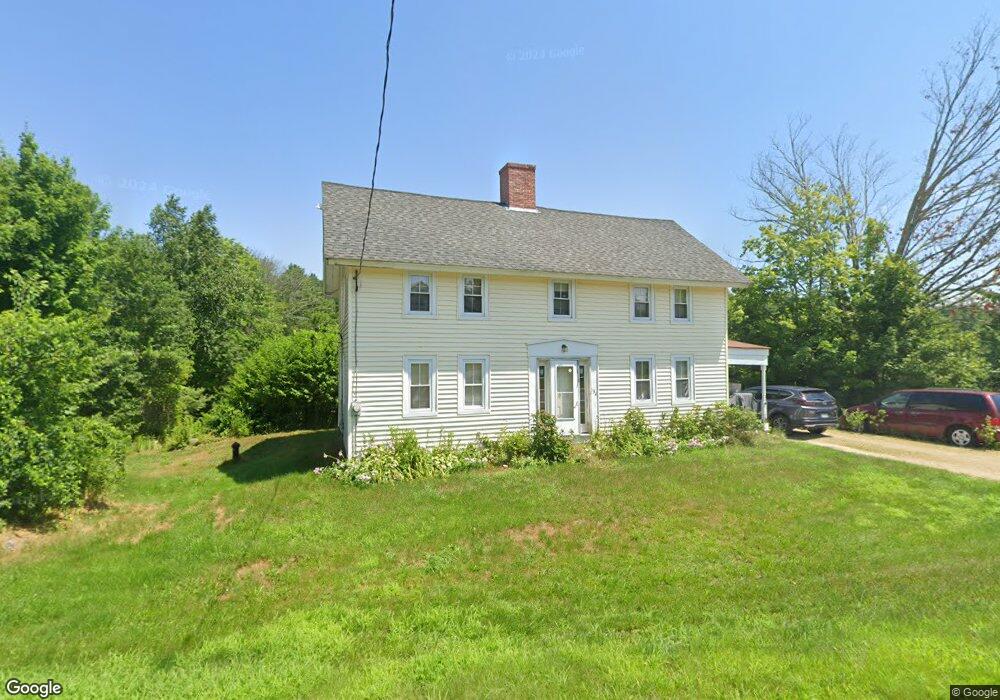
634 2nd Crown Point Rd Strafford, NH 03884
Estimated Value: $519,000 - $567,000
3
Beds
2
Baths
1,956
Sq Ft
$274/Sq Ft
Est. Value
About This Home
This home is located at 634 2nd Crown Point Rd, Strafford, NH 03884 and is currently estimated at $536,573, approximately $274 per square foot. 634 2nd Crown Point Rd is a home with nearby schools including Strafford School and Coe-Brown Northwood Academy.
Ownership History
Date
Name
Owned For
Owner Type
Purchase Details
Closed on
Dec 15, 1998
Sold by
Foss Verna M
Bought by
Foss Glen L and Foss Christina H
Current Estimated Value
Home Financials for this Owner
Home Financials are based on the most recent Mortgage that was taken out on this home.
Original Mortgage
$21,000
Outstanding Balance
$4,335
Interest Rate
6.8%
Mortgage Type
Purchase Money Mortgage
Estimated Equity
$532,238
Create a Home Valuation Report for This Property
The Home Valuation Report is an in-depth analysis detailing your home's value as well as a comparison with similar homes in the area
Home Values in the Area
Average Home Value in this Area
Purchase History
| Date | Buyer | Sale Price | Title Company |
|---|---|---|---|
| Foss Glen L | $21,000 | -- |
Source: Public Records
Mortgage History
| Date | Status | Borrower | Loan Amount |
|---|---|---|---|
| Open | Foss Glen L | $21,000 |
Source: Public Records
Tax History
| Year | Tax Paid | Tax Assessment Tax Assessment Total Assessment is a certain percentage of the fair market value that is determined by local assessors to be the total taxable value of land and additions on the property. | Land | Improvement |
|---|---|---|---|---|
| 2024 | $5,699 | $288,400 | $69,000 | $219,400 |
| 2023 | $5,376 | $288,400 | $69,000 | $219,400 |
| 2022 | $4,945 | $288,700 | $69,300 | $219,400 |
| 2021 | $5,143 | $278,600 | $69,400 | $209,200 |
| 2020 | $5,348 | $208,500 | $62,500 | $146,000 |
| 2019 | $4,891 | $208,400 | $62,400 | $146,000 |
| 2018 | $5,007 | $211,900 | $62,400 | $149,500 |
| 2016 | $4,507 | $212,100 | $62,600 | $149,500 |
| 2015 | $4,188 | $192,000 | $76,100 | $115,900 |
| 2014 | $4,447 | $192,000 | $76,100 | $115,900 |
| 2013 | -- | $192,000 | $76,100 | $115,900 |
| 2012 | $4,301 | $192,200 | $76,300 | $115,900 |
Source: Public Records
Map
Nearby Homes
- 825 Second Crown Point Rd
- 20 Lorraines Ln
- 948 Strafford Rd
- 243 Second Crown Point Rd
- 0 Sloper Rd Unit 6
- 464 Long Shores Dr
- 38 Strafford Rd
- 1416 Parker Mountain Rd
- 739 Berry River Rd
- 12 Cornwall Place
- 00 Squire Rd
- 0 Daniel Cater Rd Unit 10 5030094
- 22 Viviana Dr
- 207-002 Washington St
- Map 220 Lot 16 Four Rod Rd
- 12 Isabelle Ln
- M37 L40 Beaver Rd
- 36 Leavitt Ln
- 0 Estes Rd Unit 74-A
- 59 Estes Rd
- 633-ABC 2nd Crown Point Rd
- 633-B 2nd Crown Point Rd
- 633-A 2nd Crown Point Rd
- 633A 2nd Crown Point Rd
- 633B 2nd Crown Point Rd
- 633-A Second Crown Point Rd
- 633 2nd Crown Point Rd
- 633 2nd Crown Point Rd
- 654 2nd Crown Point Rd
- 659 2nd Crown Point Rd
- 664 2nd Crown Point Rd
- 604 2nd Crown Point Rd
- 671 2nd Crown Point Rd
- 671 2nd Crown Point Rd
- 35 Lund Dr
- 670 2nd Crown Point Rd
- 31 Lund Dr
- 615 2nd Crown Point Rd
- 673 2nd Crown Point Rd
- 595 2nd Crown Point Rd
Your Personal Tour Guide
Ask me questions while you tour the home.