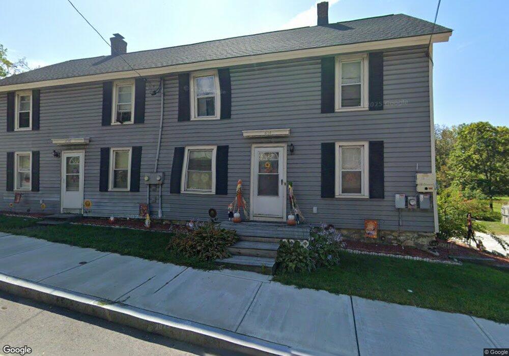
634 Mohawk Trail Unit 636 North Adams, MA 01247
Estimated Value: $199,000 - $299,000
6
Beds
3
Baths
2,621
Sq Ft
$99/Sq Ft
Est. Value
About This Home
This home is located at 634 Mohawk Trail Unit 636, North Adams, MA 01247 and is currently estimated at $260,197, approximately $99 per square foot. 634 Mohawk Trail Unit 636 is a home located in Berkshire County with nearby schools including Colegrove Park Elementary School and Drury High School.
Ownership History
Date
Name
Owned For
Owner Type
Purchase Details
Closed on
Mar 23, 2009
Sold by
Tetreault Daniel P
Bought by
Tetreault Daniel P and Tetreault Joann M
Current Estimated Value
Home Financials for this Owner
Home Financials are based on the most recent Mortgage that was taken out on this home.
Original Mortgage
$155,000
Outstanding Balance
$98,762
Interest Rate
5.25%
Mortgage Type
Purchase Money Mortgage
Estimated Equity
$161,435
Purchase Details
Closed on
Nov 9, 2006
Sold by
Tetreault Daniel P and Decker Jane A
Bought by
Tetreault Daniel P
Purchase Details
Closed on
Jun 28, 1994
Sold by
Sherman Harry B
Bought by
Decker Jane A
Create a Home Valuation Report for This Property
The Home Valuation Report is an in-depth analysis detailing your home's value as well as a comparison with similar homes in the area
Home Values in the Area
Average Home Value in this Area
Purchase History
| Date | Buyer | Sale Price | Title Company |
|---|---|---|---|
| Tetreault Daniel P | -- | -- | |
| Tetreault Daniel P | -- | -- | |
| Tetreault Daniel P | -- | -- | |
| Tetreault Daniel P | -- | -- | |
| Tetreault Daniel P | -- | -- | |
| Decker Jane A | $45,000 | -- | |
| Decker Jane A | $45,000 | -- |
Source: Public Records
Mortgage History
| Date | Status | Borrower | Loan Amount |
|---|---|---|---|
| Open | Tetreault Daniel P | $155,000 | |
| Closed | Decker Jane A | $155,000 | |
| Previous Owner | Decker Jane A | $15,000 |
Source: Public Records
Tax History Compared to Growth
Tax History
| Year | Tax Paid | Tax Assessment Tax Assessment Total Assessment is a certain percentage of the fair market value that is determined by local assessors to be the total taxable value of land and additions on the property. | Land | Improvement |
|---|---|---|---|---|
| 2025 | $3,416 | $204,400 | $36,900 | $167,500 |
| 2024 | $3,209 | $187,200 | $33,800 | $153,400 |
| 2023 | $2,921 | $165,300 | $33,800 | $131,500 |
| 2022 | $2,852 | $153,900 | $33,800 | $120,100 |
| 2021 | $2,654 | $142,600 | $31,300 | $111,300 |
| 2020 | $2,504 | $134,500 | $29,800 | $104,700 |
| 2019 | $2,515 | $131,600 | $30,500 | $101,100 |
| 2018 | $2,306 | $133,400 | $32,700 | $100,700 |
| 2017 | $2,336 | $132,200 | $32,400 | $99,800 |
| 2016 | $2,395 | $137,700 | $32,400 | $105,300 |
| 2015 | $2,317 | $138,800 | $33,500 | $105,300 |
Source: Public Records
Map
Nearby Homes
- 667 & 669 E Main St
- 0 Mohawk Trail
- 83 Walker St
- 54 Pine Hill Terrace
- 100 Autumn Dr
- 50 Gallup St
- 921 Mohawk Trail
- 0 Oak Hill Unit 237953
- 23-27 Gallup St
- 360 Mohawk Trail
- 306 Union St
- 0 Beaver St
- 350 Mohawk Trail
- 67 Cherry St
- 30 Dover St
- 31 Dover St
- 26 Bradford St
- 11-15 Perry St
- 74 Washington Ave
- 209 Corinth St
- 650 Mohawk Trail
- 616 Mohawk Trail
- 641 Mohawk Trail
- 686 Union St
- 613 Mohawk Trail
- 606 Mohawk Trail
- 655 Mohawk Trail
- 660 Mohawk Trail
- 674 Mohawk Trail
- 580 Mohawk Trail
- 413 Mohawk Trail
- 686 Mohawk Trail
- 565 Union St
- 568 Mohawk Trail
- 684 E Main St
- 0 Mohawk Trail Parcel 013-046 1 Unit 240725
- 123 !Dnp! Test
- Lot 41 Daniels Rd
- 710 E Main St
- 696 E Main St