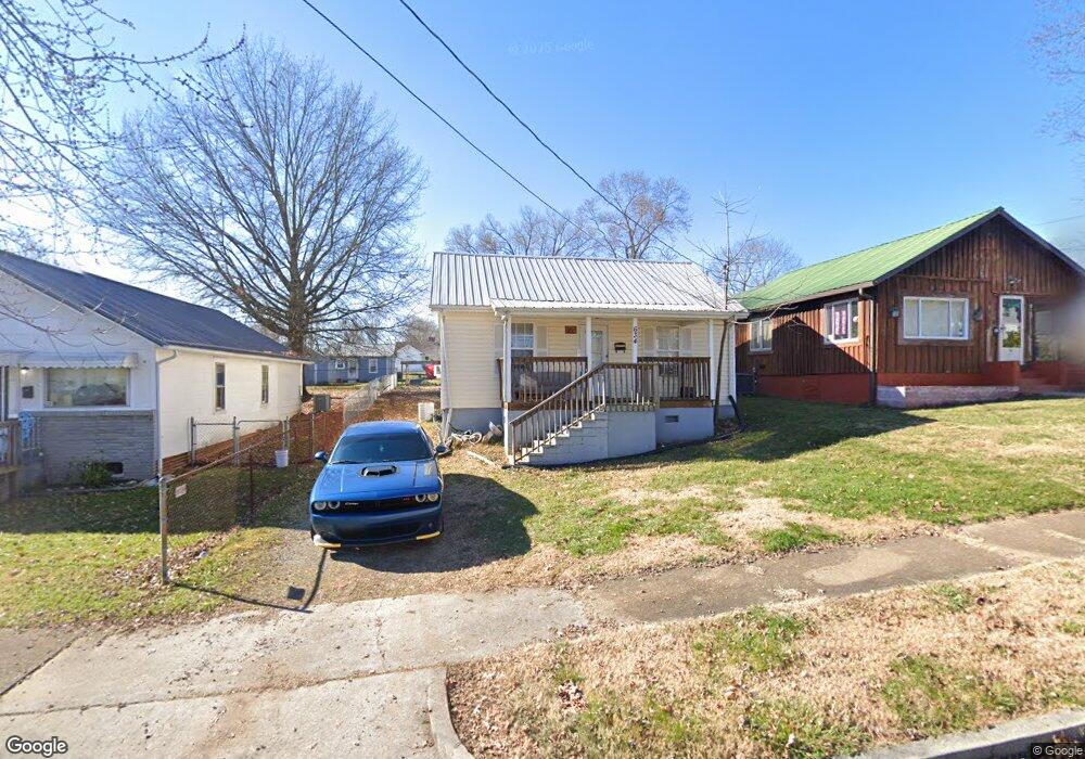
634 Riverside Ave Kingsport, TN 37660
Estimated Value: $144,000 - $170,000
--
Bed
1
Bath
1,288
Sq Ft
$125/Sq Ft
Est. Value
About This Home
This home is located at 634 Riverside Ave, Kingsport, TN 37660 and is currently estimated at $161,245, approximately $125 per square foot. 634 Riverside Ave is a home located in Sullivan County with nearby schools including Andrew Jackson Elementary School, John Sevier Middle School, and Ross N. Robinson Middle School.
Ownership History
Date
Name
Owned For
Owner Type
Purchase Details
Closed on
Aug 6, 2004
Current Estimated Value
Create a Home Valuation Report for This Property
The Home Valuation Report is an in-depth analysis detailing your home's value as well as a comparison with similar homes in the area
Home Values in the Area
Average Home Value in this Area
Purchase History
| Date | Buyer | Sale Price | Title Company |
|---|---|---|---|
| -- | $26,000 | -- |
Source: Public Records
Tax History Compared to Growth
Tax History
| Year | Tax Paid | Tax Assessment Tax Assessment Total Assessment is a certain percentage of the fair market value that is determined by local assessors to be the total taxable value of land and additions on the property. | Land | Improvement |
|---|---|---|---|---|
| 2024 | -- | $17,400 | $1,825 | $15,575 |
| 2023 | $767 | $17,400 | $1,825 | $15,575 |
| 2022 | $767 | $17,400 | $1,825 | $15,575 |
| 2021 | $745 | $17,400 | $1,825 | $15,575 |
| 2020 | $430 | $17,400 | $1,825 | $15,575 |
| 2019 | $776 | $16,750 | $1,825 | $14,925 |
| 2018 | $758 | $16,750 | $1,825 | $14,925 |
| 2017 | $758 | $16,750 | $1,825 | $14,925 |
| 2016 | $801 | $17,225 | $1,825 | $15,400 |
| 2014 | $754 | $17,225 | $0 | $0 |
Source: Public Records
Map
Nearby Homes
- 626 Riverside Ave
- 702 Riverside Ave
- 601 Fairview Ave
- 722 Fairview Ave
- 830 Fairview Ave
- 1104 Tay Station
- 529 Walnut Ave
- 1109 Tay Station
- 1133 Tay Station
- 1237 Stamp Lodge Rd
- 1245 Stamp Lodge Rd
- 1221 W Sullivan St
- 917 Walnut Ave
- 1244 Stamp Lodge Rd
- 1249 Stamp Lodge Rd
- 1413 Gress Mag Mountain
- 1320 Mimosa Dr
- 0 Stonegate Rd
- 605 Robin Ln
- 1117 Lomax St
- 630 Riverside Ave
- 633 Plantation Rd
- 642 Riverside Ave
- 622 Riverside Ave
- 701 Plantation Rd
- 613 Plantation Rd
- 620 Riverside Ave
- 706 Riverside Ave
- 614 Riverside Ave
- 617 Plantation Rd
- 710 Riverside Ave
- 713 Plantation Rd
- 629 Riverside Ave
- 633 Riverside Ave
- 625 Riverside Ave
- 621 Riverside Ave
- 714 Riverside Ave
- 630 Plantation Rd
- 634 Plantation Rd
- 717 Plantation Rd