634 Wansley Rd Tignall, GA 30668
Estimated Value: $352,000 - $556,912
2
Beds
2
Baths
1,600
Sq Ft
$263/Sq Ft
Est. Value
About This Home
This home is located at 634 Wansley Rd, Tignall, GA 30668 and is currently estimated at $420,971, approximately $263 per square foot. 634 Wansley Rd is a home located in Wilkes County with nearby schools including Washington-Wilkes Elementary School, Washington-Wilkes Primary School, and Washington-Wilkes Middle School.
Ownership History
Date
Name
Owned For
Owner Type
Purchase Details
Closed on
Aug 25, 2012
Sold by
Patten Ernest
Bought by
Patten Rebecca A and Patten Russell
Current Estimated Value
Purchase Details
Closed on
Jun 20, 2006
Sold by
Black Fam Enterprises L
Bought by
Patten Rebecca A and Patten Russell
Create a Home Valuation Report for This Property
The Home Valuation Report is an in-depth analysis detailing your home's value as well as a comparison with similar homes in the area
Purchase History
| Date | Buyer | Sale Price | Title Company |
|---|---|---|---|
| Patten Rebecca A | -- | -- | |
| Patten Rebecca A | $165,248 | -- | |
| Black Fam Enterprises Lp | -- | -- |
Source: Public Records
Tax History
| Year | Tax Paid | Tax Assessment Tax Assessment Total Assessment is a certain percentage of the fair market value that is determined by local assessors to be the total taxable value of land and additions on the property. | Land | Improvement |
|---|---|---|---|---|
| 2025 | $2,543 | $107,692 | $53,312 | $54,380 |
| 2024 | $2,556 | $107,692 | $53,312 | $54,380 |
| 2023 | $2,426 | $105,573 | $53,312 | $52,261 |
| 2022 | $2,398 | $105,573 | $53,312 | $52,261 |
| 2021 | $2,426 | $105,573 | $53,312 | $52,261 |
| 2020 | $2,825 | $105,573 | $53,312 | $52,261 |
| 2019 | $2,394 | $94,224 | $44,997 | $49,227 |
| 2018 | $2,736 | $94,224 | $44,997 | $49,227 |
| 2017 | $2,736 | $94,224 | $44,997 | $49,227 |
| 2016 | $2,237 | $94,224 | $44,997 | $49,227 |
| 2015 | -- | $44,997 | $44,997 | $49,227 |
| 2014 | -- | $94,224 | $44,997 | $49,227 |
| 2013 | -- | $94,224 | $0 | $0 |
Source: Public Records
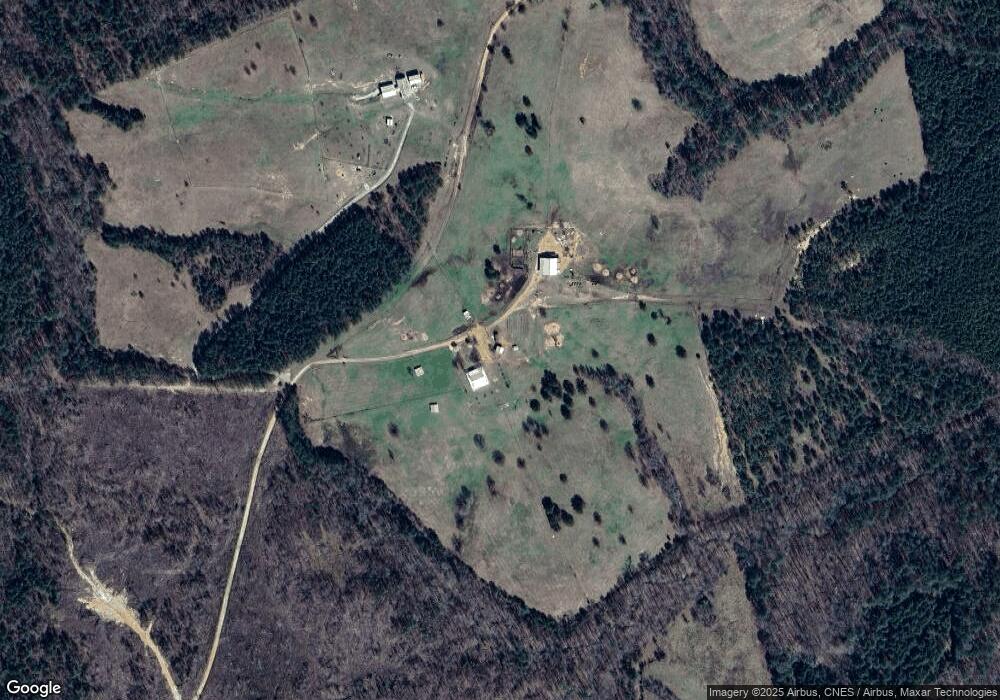
Map
Nearby Homes
- 2973 River Rd
- 0 Anthony Shoals Rd
- 1302 River Rd
- 2724 Bells Ferry Rd
- 0 Rogers Rd Unit 10683069
- 0 Delhi Rd Unit 10679575
- Lot 14b Lbk Cir
- 0 Lincolnton Hwy Unit 10710010
- 2470 Dr George Ward Rd
- 8544 Elberton Hwy
- 0 Lbk Rd Unit 32C
- 1 Bunch Rd
- 4 Bunch Rd
- 191 Bunch Rd
- 1736 Lincolnton Hwy
- 129 Wooten West St
- 0 Windward Harbor Dr Unit 10702130
- 0 Windward Harbor Dr Unit CL350625
- 0 Windward Harbor Dr Unit 7728992
- 1098 Broad River Scenic Dr
Your Personal Tour Guide
Ask me questions while you tour the home.