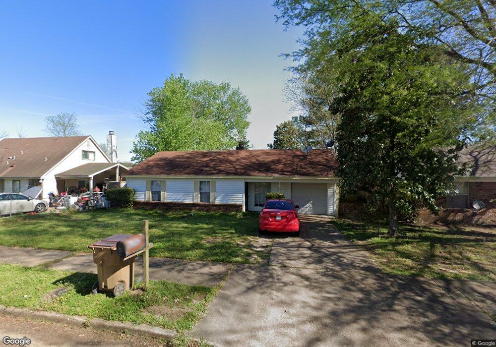
6342 Brockman Dr Millington, TN 38053
Estimated Value: $141,000 - $175,000
3
Beds
2
Baths
1,111
Sq Ft
$145/Sq Ft
Est. Value
About This Home
This home is located at 6342 Brockman Dr, Millington, TN 38053 and is currently estimated at $160,667, approximately $144 per square foot. 6342 Brockman Dr is a home located in Shelby County with nearby schools including Millington Elementary School and Millington High School.
Ownership History
Date
Name
Owned For
Owner Type
Purchase Details
Closed on
Mar 20, 2024
Sold by
Patrick Steven W and Patrick Kenneth J
Bought by
Patrick Joint Revocable Trust and Patrick
Current Estimated Value
Purchase Details
Closed on
Jun 10, 2010
Sold by
Nelson Loyd A
Bought by
Patrick Steven W and Patrick Kenneth J
Home Financials for this Owner
Home Financials are based on the most recent Mortgage that was taken out on this home.
Original Mortgage
$35,625
Interest Rate
4.97%
Mortgage Type
New Conventional
Create a Home Valuation Report for This Property
The Home Valuation Report is an in-depth analysis detailing your home's value as well as a comparison with similar homes in the area
Home Values in the Area
Average Home Value in this Area
Purchase History
| Date | Buyer | Sale Price | Title Company |
|---|---|---|---|
| Patrick Joint Revocable Trust | -- | None Listed On Document | |
| Patrick Steven W | $47,500 | None Available |
Source: Public Records
Mortgage History
| Date | Status | Borrower | Loan Amount |
|---|---|---|---|
| Previous Owner | Patrick Steven W | $35,625 |
Source: Public Records
Tax History Compared to Growth
Tax History
| Year | Tax Paid | Tax Assessment Tax Assessment Total Assessment is a certain percentage of the fair market value that is determined by local assessors to be the total taxable value of land and additions on the property. | Land | Improvement |
|---|---|---|---|---|
| 2025 | $797 | $38,125 | $2,625 | $35,500 |
| 2024 | $797 | $23,500 | $2,250 | $21,250 |
| 2023 | $797 | $23,500 | $2,250 | $21,250 |
| 2022 | $797 | $23,500 | $2,250 | $21,250 |
| 2021 | $811 | $23,500 | $2,250 | $21,250 |
| 2020 | $627 | $15,475 | $2,250 | $13,225 |
| 2019 | $627 | $15,475 | $2,250 | $13,225 |
| 2018 | $627 | $15,475 | $2,250 | $13,225 |
| 2017 | $636 | $15,475 | $2,250 | $13,225 |
| 2016 | $669 | $15,300 | $0 | $0 |
| 2014 | $669 | $15,300 | $0 | $0 |
Source: Public Records
Map
Nearby Homes
- 6296 Woodgreen Dr
- 7702 Marvin Rd
- 7881 Sherman Rd
- 6925 Northknoll Ave
- 6948 Northknoll Ave
- 0 Bethuel Rd Unit 1
- 0 Bethuel Rd Unit Lot 3
- 0 Bethuel Rd Unit Lot 4
- 0 Bethuel Rd Unit Lot 5
- 0 Bethuel Rd Unit Lot 6
- 0 Bethuel Rd Unit Lot 7
- 0 Bethuel Rd Unit Lot 9
- 0 Bethuel Rd Unit Lot 11
- 0 Bethuel Rd Unit Lot 12
- 0 Bethuel Rd Unit Lot 13
- 0 Bethuel Rd Unit Lot 14
- 0 Bethuel Rd Unit 15
- 0 Bethuel Rd Unit 16
- 0 Bethuel Rd Unit 17
- 0 Sledge Rd
- 6348 Brockman Dr
- 6336 Brockman Dr
- 6345 Raible Dr
- 6330 Brockman Dr
- 6354 Brockman Dr
- 6351 Raible Dr
- 6339 Raible Dr
- 6357 Raible Dr
- 6341 Brockman Dr
- 6335 Brockman Dr
- 6347 Brockman Dr
- 6324 Brockman Dr
- 6360 Brockman Dr
- 6329 Brockman Dr
- 6363 Raible Dr
- 6353 Brockman Dr
- 6327 Raible Dr
- 6323 Brockman Dr
- 6366 Brockman Dr
- 6318 Brockman Dr