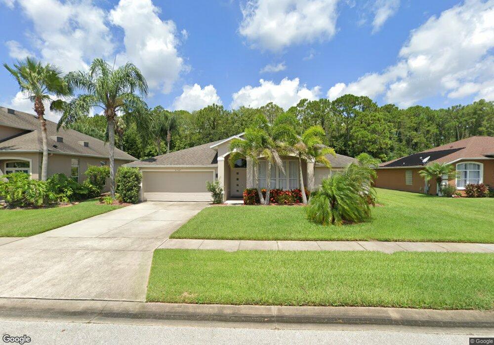
6345 Paria Ct Port Orange, FL 32128
Waters Edge NeighborhoodEstimated Value: $448,000 - $528,000
3
Beds
2
Baths
2,280
Sq Ft
$213/Sq Ft
Est. Value
About This Home
This home is located at 6345 Paria Ct, Port Orange, FL 32128 and is currently estimated at $485,952, approximately $213 per square foot. 6345 Paria Ct is a home located in Volusia County with nearby schools including Cypress Creek Elementary School, Creekside Middle School, and Spruce Creek High School.
Ownership History
Date
Name
Owned For
Owner Type
Purchase Details
Closed on
Nov 6, 2015
Sold by
Watts Kristina I and Phillips Kristina W
Bought by
Kusner Max
Current Estimated Value
Purchase Details
Closed on
Jun 11, 2003
Sold by
Watts Daniel P M
Bought by
Watts Kristina I
Home Financials for this Owner
Home Financials are based on the most recent Mortgage that was taken out on this home.
Original Mortgage
$119,000
Interest Rate
5.29%
Mortgage Type
New Conventional
Purchase Details
Closed on
Mar 19, 1998
Sold by
Intervest At Waters Edge Ltd
Bought by
Watts Daniel P M and Watts Kristina I
Home Financials for this Owner
Home Financials are based on the most recent Mortgage that was taken out on this home.
Original Mortgage
$109,150
Interest Rate
6.99%
Create a Home Valuation Report for This Property
The Home Valuation Report is an in-depth analysis detailing your home's value as well as a comparison with similar homes in the area
Home Values in the Area
Average Home Value in this Area
Purchase History
| Date | Buyer | Sale Price | Title Company |
|---|---|---|---|
| Kusner Max | $218,000 | Ability Title Inc | |
| Watts Kristina I | -- | -- | |
| Watts Daniel P M | $121,400 | -- |
Source: Public Records
Mortgage History
| Date | Status | Borrower | Loan Amount |
|---|---|---|---|
| Previous Owner | Watts Kristina I | $119,000 | |
| Previous Owner | Watts Daniel P M | $109,150 |
Source: Public Records
Tax History Compared to Growth
Tax History
| Year | Tax Paid | Tax Assessment Tax Assessment Total Assessment is a certain percentage of the fair market value that is determined by local assessors to be the total taxable value of land and additions on the property. | Land | Improvement |
|---|---|---|---|---|
| 2025 | $3,771 | $290,562 | -- | -- |
| 2024 | $3,771 | $282,374 | -- | -- |
| 2023 | $3,771 | $274,150 | $0 | $0 |
| 2022 | $3,643 | $266,165 | $0 | $0 |
| 2021 | $3,713 | $258,413 | $0 | $0 |
| 2020 | $3,620 | $254,845 | $0 | $0 |
| 2019 | $3,608 | $249,115 | $0 | $0 |
| 2018 | $3,617 | $244,470 | $0 | $0 |
| 2017 | $3,931 | $239,442 | $0 | $0 |
| 2016 | $3,077 | $201,749 | $0 | $0 |
| 2015 | $2,525 | $149,641 | $0 | $0 |
| 2014 | $2,541 | $148,453 | $0 | $0 |
Source: Public Records
Map
Nearby Homes
- 1773 Arash Cir
- 1637 Armin Ct
- 6453 Nona Ct
- 6250 Montego Bay Ct
- 6127 Sabal Point Cir
- 6244 Saint Thomas Ct
- 1694 Arash Cir
- 1819 Tara Marie Ln
- 1824 Tara Marie Ln
- 1840 Tara Marie Ln
- 1693 Arash Cir
- 2707 Winterford Dr
- 6109 Sabal Point Cir
- 1703 Frogs Leap Ct
- 1852 Tara Marie Ln
- 28 Golf Villa Dr
- 6096 Sabal Brook Way
- 1832 Afshin Ct
- 6299 Palm Vista St
- 6091 Sabal Hammock Cir