63463 Andrews Rd Coos Bay, OR 97420
Estimated Value: $82,000 - $408,000
3
Beds
1
Bath
1,092
Sq Ft
$208/Sq Ft
Est. Value
About This Home
This home is located at 63463 Andrews Rd, Coos Bay, OR 97420 and is currently estimated at $227,061, approximately $207 per square foot. 63463 Andrews Rd is a home located in Coos County with nearby schools including Eastside School, Millicoma School, and Marshfield Senior High School.
Ownership History
Date
Name
Owned For
Owner Type
Purchase Details
Closed on
Aug 12, 2013
Sold by
Clatty Diane L
Bought by
Devore Ryan A
Current Estimated Value
Home Financials for this Owner
Home Financials are based on the most recent Mortgage that was taken out on this home.
Original Mortgage
$192,000
Outstanding Balance
$143,182
Interest Rate
4.46%
Mortgage Type
VA
Estimated Equity
$83,879
Purchase Details
Closed on
Nov 30, 2007
Sold by
Sanders Charles E and Marilyn R Sanders Estate
Bought by
Clatty Diane L
Home Financials for this Owner
Home Financials are based on the most recent Mortgage that was taken out on this home.
Original Mortgage
$187,200
Interest Rate
6.36%
Mortgage Type
Purchase Money Mortgage
Create a Home Valuation Report for This Property
The Home Valuation Report is an in-depth analysis detailing your home's value as well as a comparison with similar homes in the area
Home Values in the Area
Average Home Value in this Area
Purchase History
| Date | Buyer | Sale Price | Title Company |
|---|---|---|---|
| Devore Ryan A | $187,500 | Ticor Title Company | |
| Clatty Diane L | $234,000 | Ticor Title Insurance |
Source: Public Records
Mortgage History
| Date | Status | Borrower | Loan Amount |
|---|---|---|---|
| Open | Devore Ryan A | $192,000 | |
| Previous Owner | Clatty Diane L | $187,200 |
Source: Public Records
Tax History Compared to Growth
Tax History
| Year | Tax Paid | Tax Assessment Tax Assessment Total Assessment is a certain percentage of the fair market value that is determined by local assessors to be the total taxable value of land and additions on the property. | Land | Improvement |
|---|---|---|---|---|
| 2024 | $1,735 | $165,730 | -- | -- |
| 2023 | $1,684 | $160,910 | $0 | $0 |
| 2022 | $1,666 | $156,230 | $0 | $0 |
| 2021 | $1,560 | $151,680 | $0 | $0 |
| 2020 | $1,518 | $151,680 | $0 | $0 |
| 2019 | $1,453 | $142,990 | $0 | $0 |
| 2018 | $1,409 | $138,830 | $0 | $0 |
| 2017 | $1,196 | $134,790 | $0 | $0 |
| 2016 | $1,145 | $130,870 | $0 | $0 |
| 2015 | $1,334 | $127,060 | $0 | $0 |
| 2014 | $1,334 | $123,360 | $0 | $0 |
Source: Public Records
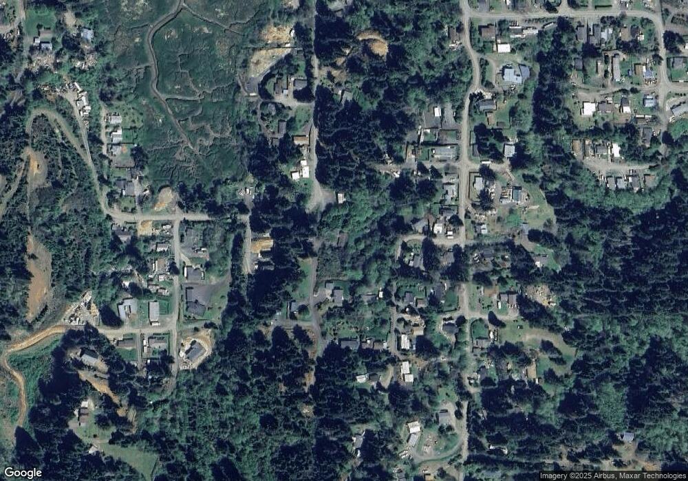
Map
Nearby Homes
- 63606 Andrews Rd
- 0 Flanagan Rd
- 63533 Flanagan Rd
- 0 Miriam Unit 740433342
- 0 Andrews Rd Unit 1 633770545
- 0 Andrews Rd
- 63642 Flanagan Rd
- 63232 Flanasgan Rd Unit LotWP001
- 63474 3rd Rd
- 93711 Bay Park Ln
- 93195 Coal Bank Ln
- 63491 2nd Street Loop
- 0 Graham St Unit 546213972
- 63505 2nd Street Loop
- 93778 Bay Park Ln
- 63757 Harriet Rd
- 63755 Flanagan Rd
- 93746 Lorain Ln
- 766 Southwest Blvd
- 1032 S 4th St
- 63487 Andrews Rd
- 63498 Andrews Rd
- 633 Dover St
- 93541 Dover Ln
- 63520 Andrews Rd
- 93463 Alabama Ln
- 93548 Dover Ln
- 63516 Andrews Rd
- 63465 Council Rd
- 93549 Dover Ln
- 63480 Flanagan Rd
- 63531 Andrews Rd
- 93512 Boise Ln
- 63439 Andrews Rd
- 63491 Everett Rd
- 63455 Council Rd
- 63464 Everett Rd
- 63498 Flanagan Rd
- 93561 Dover Ln
- 93511 Boise Ln