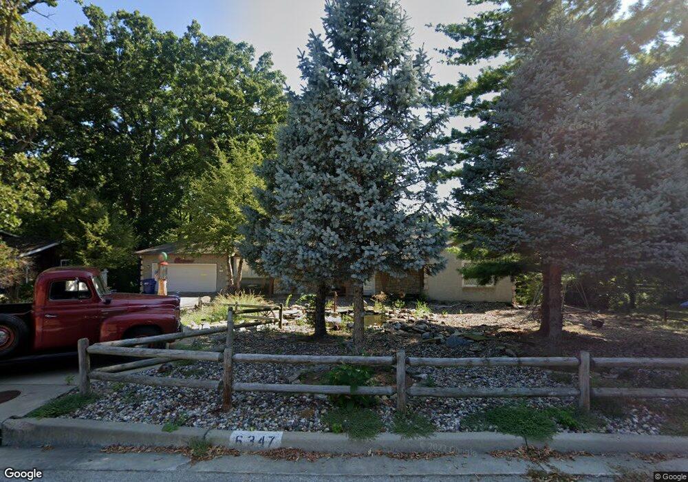
6347 Robinhood Ln Shawnee, KS 66203
Estimated Value: $300,000 - $342,000
1
Bed
2
Baths
1,562
Sq Ft
$203/Sq Ft
Est. Value
About This Home
This home is located at 6347 Robinhood Ln, Shawnee, KS 66203 and is currently estimated at $317,204, approximately $203 per square foot. 6347 Robinhood Ln is a home located in Johnson County with nearby schools including Merriam Park Elementary School, Hocker Grove Middle School, and Shawnee Mission North High School.
Ownership History
Date
Name
Owned For
Owner Type
Purchase Details
Closed on
Feb 23, 2023
Sold by
Alexander Paul Steven
Bought by
Male Dylan M
Current Estimated Value
Home Financials for this Owner
Home Financials are based on the most recent Mortgage that was taken out on this home.
Original Mortgage
$164,000
Interest Rate
6.15%
Mortgage Type
New Conventional
Create a Home Valuation Report for This Property
The Home Valuation Report is an in-depth analysis detailing your home's value as well as a comparison with similar homes in the area
Home Values in the Area
Average Home Value in this Area
Purchase History
| Date | Buyer | Sale Price | Title Company |
|---|---|---|---|
| Male Dylan M | $205,000 | -- |
Source: Public Records
Mortgage History
| Date | Status | Borrower | Loan Amount |
|---|---|---|---|
| Closed | Male Dylan M | $164,000 |
Source: Public Records
Tax History Compared to Growth
Tax History
| Year | Tax Paid | Tax Assessment Tax Assessment Total Assessment is a certain percentage of the fair market value that is determined by local assessors to be the total taxable value of land and additions on the property. | Land | Improvement |
|---|---|---|---|---|
| 2024 | $4,075 | $37,547 | $7,685 | $29,862 |
| 2023 | $3,589 | $33,752 | $7,685 | $26,067 |
| 2022 | $3,458 | $31,315 | $6,990 | $24,325 |
| 2021 | $3,273 | $28,313 | $6,067 | $22,246 |
| 2020 | $2,982 | $25,622 | $6,067 | $19,555 |
| 2019 | $2,819 | $24,231 | $5,279 | $18,952 |
| 2018 | $2,614 | $22,391 | $4,807 | $17,584 |
| 2017 | $2,345 | $19,734 | $4,807 | $14,927 |
| 2016 | $2,224 | $18,596 | $4,807 | $13,789 |
| 2015 | $2,067 | $17,423 | $4,807 | $12,616 |
| 2013 | -- | $16,825 | $4,807 | $12,018 |
Source: Public Records
Map
Nearby Homes
- 10120 W 65th St
- 6420 Ballentine St
- 5933 Knox Ave
- 10103 Johnson Dr
- 10924 W 67th St
- 10235 W 70th St
- 10024 W 70th Terrace
- 6901 Grandview St
- 6213 Terrydale St
- 9906 Edelweiss Cir
- 6724 Mackey St
- 8510 W 61st St
- 10406 W 71st Place
- 10152 Edelweiss Cir
- 10236 Edelweiss Cir
- 10914 W 71st St
- 6720 Hadley Ln
- 11217 W 69th Terrace
- 10314 W 73rd St
- 10902 W 71st Place
- 6349 Robin Hood Dr
- 6349 Robinhood Ln
- 6345 Robin Hood Dr
- 6345 Robinhood Dr
- 6351 Robinhood Ln
- 6302 Sherwood Ln
- 6344 Robinhood Ln
- 6344 Robin Hood Dr
- 6343 Robinhood Dr
- 6353 Robinhood Dr
- 6353 Robinhood Ln
- 6350 Robinhood Ln
- 6340 Robinhood Ln
- 6340 Robin Hood Dr
- 6304 Sherwood Ln
- 6341 Robinhood Dr
- 6302 Robin Hood Dr
- 6302 Robinhood Ln
- 6336 Robin Hood Dr
- 6336 Robinhood Ln