Estimated Value: $115,883 - $338,000
Studio
--
Bath
--
Sq Ft
9,801
Sq Ft Lot
About This Home
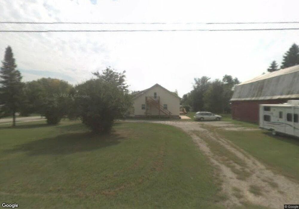
This home is located at 635 Elm St, Omro, WI 54963 and is currently estimated at $206,294. 635 Elm St is a home located in Winnebago County with nearby schools including Patch Elementary School, Omro Elementary School, and Omro Middle School.
Ownership History
Date
Name
Owned For
Owner Type
Purchase Details
Closed on
Aug 19, 2025
Sold by
Sheriff-Deputy Sheriff
Bought by
Rocket Mortgage Llc
Current Estimated Value
Purchase Details
Closed on
Jul 2, 2019
Sold by
Seiler Greg T
Bought by
Calvin Rael
Home Financials for this Owner
Home Financials are based on the most recent Mortgage that was taken out on this home.
Original Mortgage
$142,022
Interest Rate
4%
Mortgage Type
New Conventional
Purchase Details
Closed on
Aug 20, 2018
Sold by
Donohue Jeffrey A and Donohue Kristin J
Bought by
Seiler Andrew T and Seiler Greg T
Purchase Details
Closed on
Feb 13, 2017
Sold by
Perkins Roy D and Perkins Deborah L
Bought by
Donohue Jeffrey A and Donohue Kristin J
Home Financials for this Owner
Home Financials are based on the most recent Mortgage that was taken out on this home.
Original Mortgage
$67,200
Interest Rate
4.2%
Mortgage Type
Commercial
Create a Home Valuation Report for This Property
The Home Valuation Report is an in-depth analysis detailing your home's value as well as a comparison with similar homes in the area
Home Values in the Area
Average Home Value in this Area
Purchase History
| Date | Buyer | Sale Price | Title Company |
|---|---|---|---|
| Rocket Mortgage Llc | -- | None Listed On Document | |
| Calvin Rael | $414,000 | None Listed On Document | |
| Seiler Andrew T | $88,000 | None Available | |
| Donohue Jeffrey A | $84,000 | None Available |
Source: Public Records
Mortgage History
| Date | Status | Borrower | Loan Amount |
|---|---|---|---|
| Previous Owner | Calvin Rael | $142,022 | |
| Previous Owner | Donohue Jeffrey A | $67,200 |
Source: Public Records
Tax History
| Year | Tax Paid | Tax Assessment Tax Assessment Total Assessment is a certain percentage of the fair market value that is determined by local assessors to be the total taxable value of land and additions on the property. | Land | Improvement |
|---|---|---|---|---|
| 2024 | $284 | $12,900 | $10,700 | $2,200 |
| 2023 | $261 | $12,900 | $10,700 | $2,200 |
| 2022 | $254 | $12,900 | $10,700 | $2,200 |
| 2021 | $240 | $12,900 | $10,700 | $2,200 |
| 2020 | $238 | $12,900 | $10,700 | $2,200 |
| 2019 | $231 | $12,900 | $10,700 | $2,200 |
| 2018 | $227 | $12,900 | $10,700 | $2,200 |
| 2017 | $256 | $12,600 | $10,200 | $2,400 |
| 2016 | $250 | $12,600 | $10,200 | $2,400 |
| 2015 | -- | $12,300 | $9,900 | $2,400 |
| 2014 | -- | $12,300 | $9,900 | $2,400 |
| 2013 | -- | $12,300 | $9,900 | $2,400 |
Source: Public Records
Map
Nearby Homes
- 651 E River Dr
- 0 Poygan Rd
- 833 Whispering Way
- 1110 E Main St
- 320 Lincoln Ave
- 351 E Scott St
- 336 Mckinley Ave
- 730 E Scott St
- 336 Wintergreen Dr
- 286 Goldenrod Dr
- 0 County Rd E Unit 50318875
- 0 Broderick Rd
- 4980 Broderick Rd
- 5280 Oreilly Rd
- 0 9th Street Rd
- 3098 Heise Rd
- 1 Reighmoor Rd
- 8096 Channel Ln
- 5294 Notre Dame Dr
- 2284 Waukau Rd
Your Personal Tour Guide
Ask me questions while you tour the home.