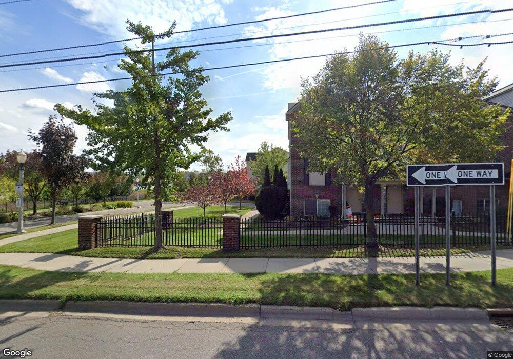
635 Nantucket Dr Unit 48 Lansing, MI 48906
Eastfield NeighborhoodEstimated Value: $193,000 - $214,000
3
Beds
3
Baths
648
Sq Ft
$317/Sq Ft
Est. Value
About This Home
This home is located at 635 Nantucket Dr Unit 48, Lansing, MI 48906 and is currently estimated at $205,483, approximately $317 per square foot. 635 Nantucket Dr Unit 48 is a home located in Ingham County with nearby schools including Pattengill Academy, Riddle Elementary School, and Eastern Lansing High School.
Ownership History
Date
Name
Owned For
Owner Type
Purchase Details
Closed on
Dec 20, 2022
Sold by
Bolden Pamela L
Bought by
Bolden Pamela L
Current Estimated Value
Purchase Details
Closed on
Aug 5, 2008
Sold by
B/K/G Lansing Llc
Bought by
Bolden Pamela L
Home Financials for this Owner
Home Financials are based on the most recent Mortgage that was taken out on this home.
Original Mortgage
$131,400
Interest Rate
6.39%
Mortgage Type
Purchase Money Mortgage
Create a Home Valuation Report for This Property
The Home Valuation Report is an in-depth analysis detailing your home's value as well as a comparison with similar homes in the area
Home Values in the Area
Average Home Value in this Area
Purchase History
| Date | Buyer | Sale Price | Title Company |
|---|---|---|---|
| Bolden Pamela L | -- | -- | |
| Bolden Pamela L | $146,000 | Metropolitan Title Company |
Source: Public Records
Mortgage History
| Date | Status | Borrower | Loan Amount |
|---|---|---|---|
| Previous Owner | Bolden Pamela L | $131,400 |
Source: Public Records
Tax History Compared to Growth
Tax History
| Year | Tax Paid | Tax Assessment Tax Assessment Total Assessment is a certain percentage of the fair market value that is determined by local assessors to be the total taxable value of land and additions on the property. | Land | Improvement |
|---|---|---|---|---|
| 2025 | $3,864 | $86,800 | $7,500 | $79,300 |
| 2024 | $31 | $90,100 | $7,500 | $82,600 |
| 2023 | $3,622 | $81,800 | $7,500 | $74,300 |
| 2022 | $3,262 | $71,000 | $6,300 | $64,700 |
| 2021 | $3,195 | $66,800 | $7,500 | $59,300 |
| 2020 | $3,175 | $66,000 | $7,500 | $58,500 |
| 2019 | $3,045 | $64,600 | $7,500 | $57,100 |
| 2018 | $2,852 | $51,900 | $7,500 | $44,400 |
| 2017 | $2,731 | $51,900 | $7,500 | $44,400 |
| 2016 | $2,641 | $48,700 | $7,500 | $41,200 |
| 2015 | $2,641 | $47,500 | $15,000 | $32,500 |
| 2014 | $2,641 | $47,300 | $15,000 | $32,300 |
Source: Public Records
Map
Nearby Homes
- 1423 Academy Ln
- 501 Worthington Dr
- 1440 E Oakland Ave
- 1408 E Oakland Ave
- 1107 May St
- 941 Maryland Ave
- 602 N Pennsylvania Ave
- 1014 E Oakland Ave
- 127 Ferguson St
- 1206 Porter St
- 125 Ferguson St
- 1320 Jerome St
- 123 Ferguson St Unit 1
- 1316 Jerome St
- 904 Linden Grove Ave
- 331 N Pennsylvania Ave
- 838 May St
- 837 E Shiawassee St
- 1312 Otto St
- 1141 Farrand St
- 633 Nantucket Dr Unit 47
- 631 Nantucket Dr Unit 21
- 629 Nantucket Dr Unit 20
- 627 Nantucket Dr Unit 8B44
- 627 Nantucket Dr Unit 19
- 627 Nantucket Dr Unit 44
- 625 Nantucket Dr Unit 8B43
- 1425 Academy Ln Unit 5
- 1427 Academy Ln Unit 4
- 1429 Academy Ln Unit 3
- 1431 Academy Ln Unit 2
- 1433 Academy Ln Unit 33
- 1433 Academy Ln Unit 1B1
- 1433 Academy Ln Unit 101
- 613 Nantucket Dr Unit 53
- 615 Nantucket Dr Unit 38
- 617 Nantucket Dr Unit 39
- 1411 Academy Ln Unit 12