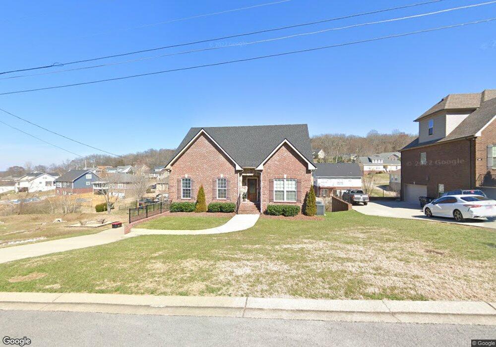
635 Shetland Dr Unit 64 Smyrna, TN 37167
Estimated Value: $536,000 - $723,000
--
Bed
--
Bath
2,134
Sq Ft
$289/Sq Ft
Est. Value
About This Home
This home is located at 635 Shetland Dr Unit 64, Smyrna, TN 37167 and is currently estimated at $615,728, approximately $288 per square foot. 635 Shetland Dr Unit 64 is a home located in Rutherford County with nearby schools including Rocky Fork Elementary School, Rocky Fork Middle School, and Smyrna High School.
Ownership History
Date
Name
Owned For
Owner Type
Purchase Details
Closed on
Sep 28, 2018
Sold by
Rhb Llc
Bought by
Scraggins Abraham and Scraggins Dana
Current Estimated Value
Home Financials for this Owner
Home Financials are based on the most recent Mortgage that was taken out on this home.
Original Mortgage
$384,655
Outstanding Balance
$335,442
Interest Rate
4.5%
Mortgage Type
New Conventional
Estimated Equity
$280,286
Purchase Details
Closed on
Jun 15, 2018
Sold by
Slbf Partnership
Bought by
Rhb Llc
Purchase Details
Closed on
Nov 6, 1996
Sold by
Ayers Alan E and Ayers Catiena
Bought by
Linville Tony R and Linville Brandi
Create a Home Valuation Report for This Property
The Home Valuation Report is an in-depth analysis detailing your home's value as well as a comparison with similar homes in the area
Home Values in the Area
Average Home Value in this Area
Purchase History
| Date | Buyer | Sale Price | Title Company |
|---|---|---|---|
| Scraggins Abraham | $404,900 | Premier Land Title & Escrow | |
| Rhb Llc | -- | Premier Land Title & Escrwo | |
| Linville Tony R | $92,261 | -- |
Source: Public Records
Mortgage History
| Date | Status | Borrower | Loan Amount |
|---|---|---|---|
| Open | Scraggins Abraham | $384,655 |
Source: Public Records
Tax History Compared to Growth
Tax History
| Year | Tax Paid | Tax Assessment Tax Assessment Total Assessment is a certain percentage of the fair market value that is determined by local assessors to be the total taxable value of land and additions on the property. | Land | Improvement |
|---|---|---|---|---|
| 2025 | $2,708 | $112,750 | $13,750 | $99,000 |
| 2024 | $2,708 | $112,750 | $13,750 | $99,000 |
| 2023 | $2,708 | $114,825 | $13,750 | $101,075 |
| 2022 | $2,460 | $114,825 | $13,750 | $101,075 |
| 2021 | $2,438 | $83,500 | $9,750 | $73,750 |
| 2020 | $2,438 | $83,500 | $9,750 | $73,750 |
| 2019 | $2,438 | $83,500 | $9,750 | $73,750 |
Source: Public Records
Map
Nearby Homes
- 400 Megan Dr
- 804 Bromley Ct
- 800 Bromley Ct
- 650 Spring Hill Dr
- 502 Johnstown Dr
- 520 Mcgrath Dr
- 715 Saint Francis Ave
- 505 Spinnaker Ct
- 508 Spinnaker Ct
- 610 Spring Hill Dr
- 614 Spring Hill Dr
- 621 Spring Hill Dr
- 618 Spring Hill Dr
- 502 Saint Francis Ave
- 499 Williamsport Dr
- 421 Saint Francis Ave
- 532 Johnstown Dr
- 540 Johnstown Dr
- 2543 Elevation GHI Plan at Patterson
- 2309 Elevation GHI Plan at Patterson
- 635 Shetland Dr
- 637 Shetland Dr
- 637 Shetland Dr Unit 63
- 639 Shetland Dr
- 639 Shetland Dr Unit 62
- 442 Williamsport Dr
- 444 Williamsport Dr
- 440 Williamsport Dr
- 446 Williamsport Dr
- 632 Shetland Dr
- 632 Shetland Dr Unit 65
- 641 Shetland Dr
- 641 Shetland Dr Unit 61
- 438 Williamsport Dr
- 448 Williamsport Dr
- 643 Shetland Dr
- 643 Shetland Dr Unit 60
- 634 Shetland Dr
- 634 Shetland Dr Unit 66
- 436 Williamsport Dr