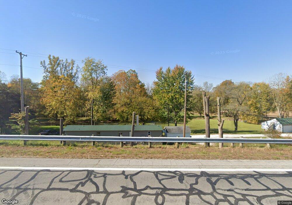
6350 N State Route 48 Covington, OH 45318
Estimated Value: $194,481 - $279,000
--
Bed
--
Bath
408
Sq Ft
$580/Sq Ft
Est. Value
About This Home
This home is located at 6350 N State Route 48, Covington, OH 45318 and is currently estimated at $236,741, approximately $580 per square foot. 6350 N State Route 48 is a home located in Miami County with nearby schools including Covington Elementary/Junior High School, Covington Junior High School, and Covington High School.
Ownership History
Date
Name
Owned For
Owner Type
Purchase Details
Closed on
Apr 5, 2010
Sold by
Angle Kristy Yvonne
Bought by
Angle Anthony
Current Estimated Value
Purchase Details
Closed on
Apr 10, 2007
Sold by
Miller Thomas E and Miller Lois A
Bought by
Angle Anthony and Angle Kristy
Purchase Details
Closed on
Oct 1, 1981
Bought by
Miller Thomas E
Create a Home Valuation Report for This Property
The Home Valuation Report is an in-depth analysis detailing your home's value as well as a comparison with similar homes in the area
Home Values in the Area
Average Home Value in this Area
Purchase History
| Date | Buyer | Sale Price | Title Company |
|---|---|---|---|
| Angle Anthony | -- | -- | |
| Angle Anthony | $35,000 | -- | |
| Miller Thomas E | -- | -- |
Source: Public Records
Tax History Compared to Growth
Tax History
| Year | Tax Paid | Tax Assessment Tax Assessment Total Assessment is a certain percentage of the fair market value that is determined by local assessors to be the total taxable value of land and additions on the property. | Land | Improvement |
|---|---|---|---|---|
| 2024 | $1,492 | $43,680 | $25,620 | $18,060 |
| 2023 | $1,492 | $43,680 | $25,620 | $18,060 |
| 2022 | $1,511 | $43,680 | $25,620 | $18,060 |
| 2021 | $1,245 | $33,610 | $19,710 | $13,900 |
| 2020 | $1,248 | $33,610 | $19,710 | $13,900 |
| 2019 | $1,244 | $33,610 | $19,710 | $13,900 |
| 2018 | $549 | $15,060 | $13,200 | $1,860 |
| 2017 | $560 | $15,060 | $13,200 | $1,860 |
| 2016 | $539 | $15,060 | $13,200 | $1,860 |
| 2015 | $512 | $14,210 | $12,460 | $1,750 |
| 2014 | $512 | $14,210 | $12,460 | $1,750 |
| 2013 | $514 | $14,210 | $12,460 | $1,750 |
Source: Public Records
Map
Nearby Homes
- 731 N Pearl St
- 501 N Main St Unit C1
- 520 N Pearl St
- 133 W Broadway St
- 124 N Main St
- 698 E Broadway St
- 271 N Ludlow St
- 00 W Piqua Clay Rd
- 223 Henry Ct
- 221 S High St
- 536 S High St
- 5225 N Front St
- 8341 W Covington Gettysburg Rd
- 9145 W US Route 36
- 206 Charles Ct
- 204 Charles Ct
- 210 Charles Ct
- 208 Charles Ct
- 212 Charles Ct
- 202 Charles Ct
- 639 N High St
- 633 N High St
- 615 N High St
- 794 N High St
- 611 N High St
- 792 N High St
- 601 N High St
- 790 N High St
- 776 N High St
- 776 N High St
- 763 N Pearl St
- 762 N High St
- 557 N High St
- 752 N High St
- 759 N Pearl St
- 549 N High St
- 547 N High St Unit 547
- 547 N High St Unit 547 B
- 794 N Pearl St
- 755 N Pearl St