6351 Bunker Rd Eaton Rapids, MI 48827
Estimated Value: $381,000 - $397,624
3
Beds
1
Bath
1,657
Sq Ft
$235/Sq Ft
Est. Value
About This Home
This home is located at 6351 Bunker Rd, Eaton Rapids, MI 48827 and is currently estimated at $389,406, approximately $235 per square foot. 6351 Bunker Rd is a home with nearby schools including Lockwood Elementary School, Greyhound Intermediate School, and Eaton Rapids Middle School.
Ownership History
Date
Name
Owned For
Owner Type
Purchase Details
Closed on
Jun 15, 2005
Sold by
Canada Anna Marie and Smith Anna Marie
Bought by
Smith Lawrence H
Current Estimated Value
Purchase Details
Closed on
Aug 17, 2004
Sold by
Smith Lawrence H and Smith Ann Marie
Bought by
Metts Daniel E and Metts Melissa R
Home Financials for this Owner
Home Financials are based on the most recent Mortgage that was taken out on this home.
Original Mortgage
$284,100
Interest Rate
5.5%
Mortgage Type
Purchase Money Mortgage
Purchase Details
Closed on
May 30, 2002
Sold by
Hansen Betty and Hanson Betty Lou
Bought by
Smith Lawrence H and Smith Ann Marie
Home Financials for this Owner
Home Financials are based on the most recent Mortgage that was taken out on this home.
Original Mortgage
$100,000
Interest Rate
6.06%
Mortgage Type
Purchase Money Mortgage
Purchase Details
Closed on
Jun 1, 1984
Bought by
Smith
Create a Home Valuation Report for This Property
The Home Valuation Report is an in-depth analysis detailing your home's value as well as a comparison with similar homes in the area
Purchase History
| Date | Buyer | Sale Price | Title Company |
|---|---|---|---|
| Smith Lawrence H | -- | -- | |
| Metts Daniel E | $55,000 | Trans | |
| Smith Lawrence H | $60,035 | Nations Title | |
| Smith | $80,000 | -- |
Source: Public Records
Mortgage History
| Date | Status | Borrower | Loan Amount |
|---|---|---|---|
| Previous Owner | Metts Daniel E | $284,100 | |
| Previous Owner | Smith Lawrence H | $100,000 |
Source: Public Records
Tax History
| Year | Tax Paid | Tax Assessment Tax Assessment Total Assessment is a certain percentage of the fair market value that is determined by local assessors to be the total taxable value of land and additions on the property. | Land | Improvement |
|---|---|---|---|---|
| 2025 | $2,493 | $213,100 | $194,500 | $18,600 |
| 2024 | $9 | $220,800 | $203,300 | $17,500 |
| 2023 | $2,239 | $196,400 | $179,800 | $16,600 |
| 2022 | $2,132 | $192,200 | $179,300 | $12,900 |
| 2021 | $2,106 | $177,100 | $177,100 | $0 |
| 2020 | $1,597 | $170,100 | $158,600 | $11,500 |
| 2019 | $1,568 | $153,900 | $142,000 | $11,900 |
| 2018 | $1,962 | $151,800 | $143,300 | $8,500 |
| 2017 | $1,847 | $151,800 | $143,300 | $8,500 |
| 2016 | -- | $127,500 | $119,100 | $8,400 |
| 2015 | -- | $124,800 | $0 | $0 |
| 2014 | -- | $125,300 | $0 | $0 |
Source: Public Records
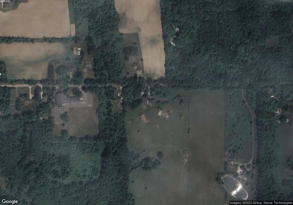
Map
Nearby Homes
- 6401 Curtice Rd
- 943 S Michigan Rd
- Parcel H Dawn Marie Ln
- Parcel B Dawn Marie Ln
- 56 S Onondaga Rd
- 11249 Columbia Hwy
- 10210 Barnes Rd
- 372 S Eifert Rd
- Vl Gale Rd
- 1140 N Smith Rd
- 4939 W Columbia Rd
- 0 S Aurelius Rd Unit 292647
- Integrity 1880 Plan at Inverness Homes
- Elements 2200 Plan at Inverness Homes
- Elements 2070 Plan at Inverness Homes
- Elements 2390 Plan at Inverness Homes
- Integrity 2190 Plan at Inverness Homes
- Integrity 2000 Plan at Inverness Homes
- Integrity 2061 V8.1a Plan at Inverness Homes
- Elements 1870 Plan at Inverness Homes
- 6373 Bunker Rd
- 6360 Bunker Rd
- 6414 Bunker Rd
- 6416 Bunker Rd
- 6419 Bunker Rd
- 6443 Bunker Rd
- 6219 Bunker Rd
- 6225 Bunker Rd
- 6463 Bunker Rd
- 6463 Bunker Rd
- 1021 S Waverly Rd
- 995 S Waverly Rd
- 6211 Bunker Rd
- 899 S Waverly Rd
- 885 S Waverly Rd
- 1028 S Waverly Rd
- 1046 S Waverly Rd
- 898 S Waverly Rd
- 996 S Waverly Rd
- 6160 Bunker Rd
Your Personal Tour Guide
Ask me questions while you tour the home.