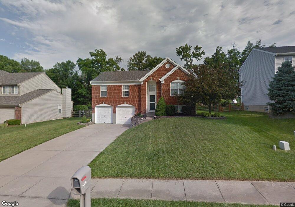
6351 Fieldsteade Dr Independence, KY 41051
Independence AreaEstimated Value: $270,000 - $296,000
About This Home
This home is located at 6351 Fieldsteade Dr, Independence, KY 41051 and is currently estimated at $285,640, approximately $257 per square foot. 6351 Fieldsteade Dr is a home located in Kenton County with nearby schools including White's Tower Elementary School, Woodland Middle School, and Scott High School.
Ownership History
We collect this data history from publicly available records. To have your information removed, we recommend requesting removal directly through your county’s website.
Purchase Details
Home Financials for this Owner
Home Financials are based on the most recent Mortgage that was taken out on this home.Purchase Details
Home Financials for this Owner
Home Financials are based on the most recent Mortgage that was taken out on this home.Purchase Details
Home Financials for this Owner
Home Financials are based on the most recent Mortgage that was taken out on this home.Purchase Details
Purchase Details
Home Values in the Area
Average Home Value in this Area
Purchase History
We collect this data history from publicly available records. To have your information removed, we recommend requesting removal directly through your county’s website.
| Date | Buyer | Sale Price | Title Company |
|---|---|---|---|
| $168,500 | Ivy Pointe Title Llc | ||
| $144,000 | American Title Services Llc | ||
| $134,000 | Resource Title Of Cincinnati | ||
| $115,000 | None Available | ||
| $122,350 | -- |
Mortgage History
We collect this data history from publicly available records. To have your information removed, we recommend requesting removal directly through your county’s website.
| Date | Status | Borrower | Loan Amount |
|---|---|---|---|
| Open | $161,400 | ||
| Closed | $163,445 | ||
| Previous Owner | $146,938 | ||
| Previous Owner | $120,600 | ||
| Previous Owner | $126,621 |
Tax History
We collect this data history from publicly available records. To have your information removed, we recommend requesting removal directly through your county’s website.
| Year | Tax Paid | Tax Assessment Tax Assessment Total Assessment is a certain percentage of the fair market value that is determined by local assessors to be the total taxable value of land and additions on the property. | Land | Improvement |
|---|---|---|---|---|
| 2025 | $2,759 | $237,200 | $50,000 | $187,200 |
| 2024 | $2,058 | $168,000 | $35,000 | $133,000 |
| 2023 | $2,120 | $168,000 | $35,000 | $133,000 |
| 2022 | $2,182 | $168,000 | $35,000 | $133,000 |
| 2021 | $2,214 | $168,000 | $35,000 | $133,000 |
| 2020 | $2,261 | $168,000 | $35,000 | $133,000 |
| 2019 | $2,267 | $168,000 | $35,000 | $133,000 |
| 2018 | $1,964 | $144,000 | $35,000 | $109,000 |
| 2017 | $1,911 | $144,000 | $35,000 | $109,000 |
| 2015 | $1,853 | $144,000 | $30,000 | $114,000 |
| 2014 | $1,827 | $144,000 | $30,000 | $114,000 |
Map
- 6406 Waterview Way
- 931 Ally Way
- 832 Verdant Ct
- 907 Stablewatch Dr
- 718 Willow Green Dr
- 714 Willow Green Dr
- 6374 Greenmere Cir
- 951 Stablewatch Dr
- 6382 Greenmere Cir
- 789 Stonybrook Ct
- 6352 Pembroke Dr
- 6512 Meadow Creek Dr
- 820 Cox Rd
- 806 Cox Rd
- 6438 Adahi Dr
- 11062 Briarview Ct
- 5315 Midnight Run
- 3171 Summitrun Dr
- 2760 Sycamore Creek Dr
- 2819 Bentwood Dr
- 6346 Markham Ct
- 6350 Markham Ct
- 6342 Markham Ct
- 6342 Markham Ct Unit 92
- 6343 Fieldsteade Dr
- 6338 Markham Ct
- 6354 Markham Ct
- 6347 Fieldsteade Dr
- 6339 Fieldsteade Dr
- 0 Markham Ct
- 6345 Markham Ct
- 6358 Markham Ct
- 6334 Markham Ct
- 6341 Markham Ct
- 6349 Markham Ct
- 787 Stablewatch Dr Unit 63
- 797 Stablewatch Dr
- 797 Stablewatch Dr Unit 107
- 6355 Fieldsteade Dr
- 6353 Markham Ct
Ask me questions while you tour the home.