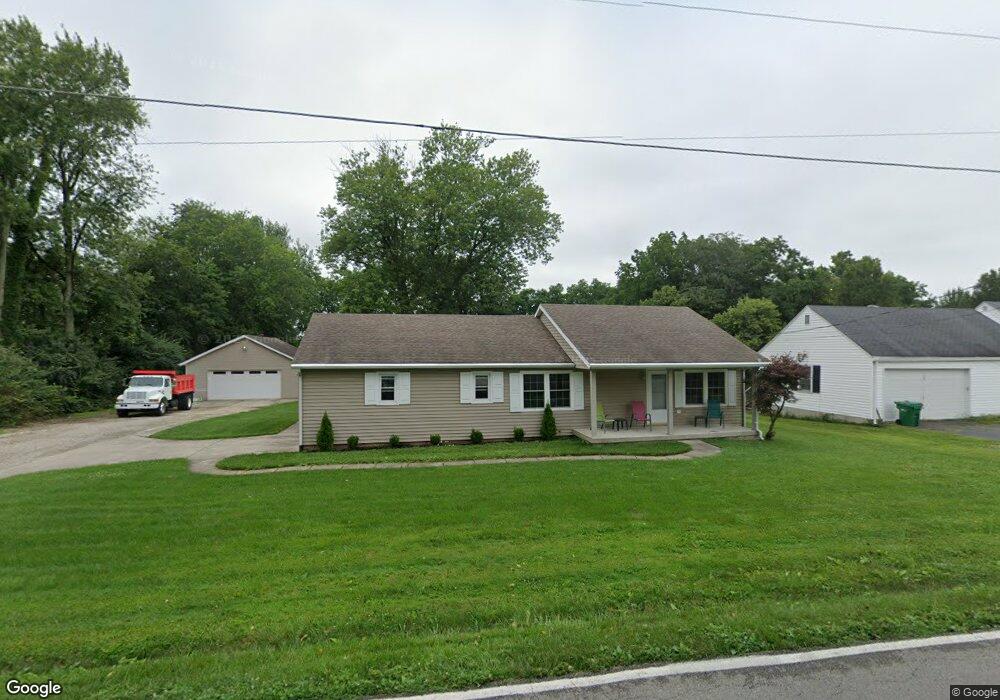
6357 Weidner Rd Springboro, OH 45066
Estimated Value: $225,000 - $276,000
2
Beds
1
Bath
1,092
Sq Ft
$233/Sq Ft
Est. Value
About This Home
This home is located at 6357 Weidner Rd, Springboro, OH 45066 and is currently estimated at $254,067, approximately $232 per square foot. 6357 Weidner Rd is a home located in Warren County with nearby schools including Clearcreek Elementary School, Springboro Intermediate School, and Dennis Elementary School.
Ownership History
Date
Name
Owned For
Owner Type
Purchase Details
Closed on
May 22, 2008
Sold by
Burkhart Howland Charlesetta
Bought by
Pack Charles D and Pack Linda L
Current Estimated Value
Home Financials for this Owner
Home Financials are based on the most recent Mortgage that was taken out on this home.
Original Mortgage
$90,000
Outstanding Balance
$55,946
Interest Rate
5.87%
Mortgage Type
Purchase Money Mortgage
Estimated Equity
$198,121
Purchase Details
Closed on
Jul 28, 2004
Sold by
Estate Of Wanda J Howland
Bought by
Howland Denver E
Create a Home Valuation Report for This Property
The Home Valuation Report is an in-depth analysis detailing your home's value as well as a comparison with similar homes in the area
Home Values in the Area
Average Home Value in this Area
Purchase History
| Date | Buyer | Sale Price | Title Company |
|---|---|---|---|
| Pack Charles D | -- | Attorney | |
| Pack Charles D | $95,000 | None Available | |
| Howland Denver E | -- | -- |
Source: Public Records
Mortgage History
| Date | Status | Borrower | Loan Amount |
|---|---|---|---|
| Open | Pack Charles D | $90,000 |
Source: Public Records
Tax History
| Year | Tax Paid | Tax Assessment Tax Assessment Total Assessment is a certain percentage of the fair market value that is determined by local assessors to be the total taxable value of land and additions on the property. | Land | Improvement |
|---|---|---|---|---|
| 2025 | $2,452 | $69,750 | $23,110 | $46,640 |
| 2024 | $2,452 | $69,750 | $23,110 | $46,640 |
| 2023 | $2,046 | $54,264 | $12,925 | $41,338 |
| 2022 | $2,015 | $54,264 | $12,926 | $41,339 |
| 2021 | $1,883 | $54,264 | $12,926 | $41,339 |
| 2020 | $1,679 | $44,114 | $10,507 | $33,607 |
| 2019 | $1,556 | $44,114 | $10,507 | $33,607 |
| 2018 | $1,546 | $44,114 | $10,507 | $33,607 |
| 2017 | $1,527 | $39,984 | $9,639 | $30,345 |
| 2016 | $1,589 | $39,984 | $9,639 | $30,345 |
| 2015 | $1,930 | $39,984 | $9,639 | $30,345 |
| 2014 | $1,930 | $36,020 | $8,680 | $27,340 |
| 2013 | $1,929 | $43,590 | $10,510 | $33,080 |
Source: Public Records
Map
Nearby Homes
- 79 Glasgow St
- 79 Glasgow St Unit 40
- 25 Morris St
- 25 Morris St Unit 13
- 45 Marisha Ct
- 29 Louise Dr
- 980 Heatherwoode Cir
- 220 Elmwood Dr Unit 22
- 45 Libby Hollow St
- 6 Beal Rd
- 6265 Red Lion 5 Points Rd
- Calvin Plan at Wadestone - Designer Collection
- Charles Plan at Eastbrook Farms - Designer Collection
- Charles Plan at Wadestone - Designer Collection
- Huxley Plan at Wadestone - Masterpiece Collection
- Calvin Plan at Eastbrook Farms - Designer Collection
- Wyatt Plan at Wadestone - Designer Collection
- Winston Plan at Wadestone - Designer Collection
- Grandin Plan at Eastbrook Farms - Designer Collection
- Magnolia Plan at Eastbrook Farms - Designer Collection
- 6373 Weidner Rd
- 6331 Weidner Rd
- 6391 Weidner Rd
- 6374 Weidner Rd
- 6332 Weidner Rd
- 6321 Weidner Rd
- 6406 Weidner Rd
- 6417 Weidner Rd
- 2724 Beal Rd
- 6428 Weidner Rd
- 6259 Weidner Rd
- 6440 Weidner Rd
- 6464 Weidner Rd
- 2784 Beal Rd
- 6237 Weidner Rd
- 6477 Weidner Rd
- 6414 Weidner Rd
- 6225 Weidner Rd
- 2824 Beal Rd
- 6490 Weidner Rd
Your Personal Tour Guide
Ask me questions while you tour the home.