6359 Bullfrog Dr Bascom, FL 32423
Estimated Value: $197,000 - $313,812
3
Beds
2
Baths
1,914
Sq Ft
$142/Sq Ft
Est. Value
About This Home
This home is located at 6359 Bullfrog Dr, Bascom, FL 32423 and is currently estimated at $271,953, approximately $142 per square foot. 6359 Bullfrog Dr is a home with nearby schools including Malone School.
Ownership History
Date
Name
Owned For
Owner Type
Purchase Details
Closed on
Jan 28, 2008
Sold by
Jacobs Julie M and Jacobs Brylan R
Bought by
Jacobs Julie M and Jacobs Brylan R
Current Estimated Value
Home Financials for this Owner
Home Financials are based on the most recent Mortgage that was taken out on this home.
Original Mortgage
$128,000
Interest Rate
6.06%
Mortgage Type
New Conventional
Purchase Details
Closed on
Dec 20, 2007
Sold by
Mader Julie M
Bought by
Mader Julie M and Jacobs Brylan R
Home Financials for this Owner
Home Financials are based on the most recent Mortgage that was taken out on this home.
Original Mortgage
$128,000
Interest Rate
6.06%
Mortgage Type
New Conventional
Create a Home Valuation Report for This Property
The Home Valuation Report is an in-depth analysis detailing your home's value as well as a comparison with similar homes in the area
Purchase History
| Date | Buyer | Sale Price | Title Company |
|---|---|---|---|
| Jacobs Julie M | -- | Marianna Title Services Inc | |
| Mader Julie M | -- | None Available |
Source: Public Records
Mortgage History
| Date | Status | Borrower | Loan Amount |
|---|---|---|---|
| Closed | Jacobs Julie M | $128,000 |
Source: Public Records
Tax History
| Year | Tax Paid | Tax Assessment Tax Assessment Total Assessment is a certain percentage of the fair market value that is determined by local assessors to be the total taxable value of land and additions on the property. | Land | Improvement |
|---|---|---|---|---|
| 2025 | $1,702 | $168,042 | -- | -- |
| 2024 | $1,650 | $163,306 | -- | -- |
| 2023 | $1,556 | $158,550 | $0 | $0 |
| 2022 | $1,409 | $153,932 | $0 | $0 |
| 2021 | $1,410 | $149,449 | $0 | $0 |
| 2020 | $1,394 | $145,189 | $13,765 | $131,424 |
| 2019 | $1,394 | $139,950 | $13,765 | $126,185 |
| 2018 | $1,412 | $141,284 | $13,765 | $127,519 |
| 2017 | $1,415 | $141,273 | $13,765 | $127,508 |
| 2016 | $1,392 | $141,777 | $13,765 | $128,012 |
| 2015 | $1,435 | $141,909 | $0 | $0 |
| 2014 | $1,434 | $140,783 | $13,765 | $127,018 |
Source: Public Records
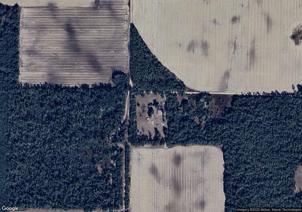
Map
Nearby Homes
- 6345 Bull Frog Dr
- 4686 Dunaway Rd
- 4584 Dunaway Rd
- 0 Speights Way
- TBD Wolf Pond Rd
- 00 Lovedale Rd
- Lot 2 Oscar Rd
- Lot 1 Oscar Rd
- 4170 Wintergreen Rd
- 4583 Dickson Rd
- 0 Tower Rd
- 00 Green Rd
- 5678 Hummingbird Rd
- 4727 Georgia Rd
- 5894 Jasper Rd
- 5917 Fort Rd Unit 69RD
- 0 Sweet Pond Rd
- 00 Sweet Pond Rd
- 4023 Sylvania Plantation Rd
- 5837 Catalina Ln
- 6375 Bullfrog Dr
- 4645 Dunaway Rd
- 6353 Tower Rd
- 4601 Dunaway Rd
- 0000 Tower Rd
- Lot 2 Tower Rd
- Lot 1 Tower Rd
- 00 Tower Rd
- 4694 Dunaway Rd
- 6255 Tower Rd
- 6354 Tower Rd
- 0 Dunaway Rd
- 6463 Tower Rd
- 6471 Tower Rd
- 4762 Wintergreen Rd
- 4740 Wintergreen Rd
- 4553 Dunaway Rd
- 4727 Wintergreen Rd
- 4759 Wintergreen Rd
- 4550 Dunaway Rd
Your Personal Tour Guide
Ask me questions while you tour the home.