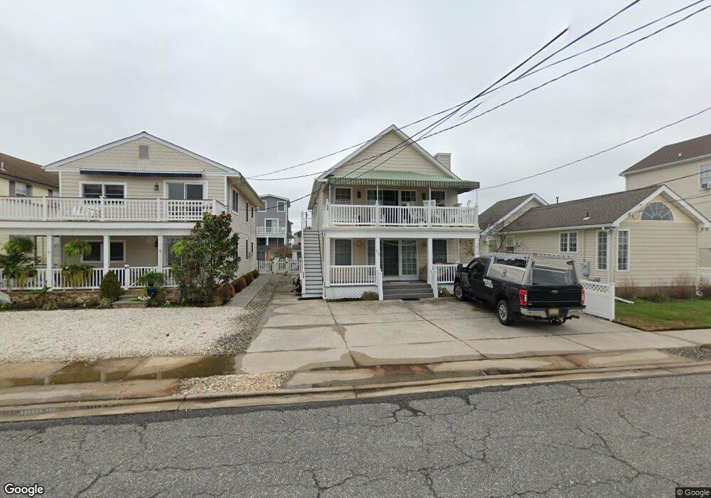
636 21st St Unit 636 Avalon, NJ 08202
Estimated Value: $1,214,000 - $2,005,000
--
Bed
--
Bath
1,056
Sq Ft
$1,445/Sq Ft
Est. Value
About This Home
This home is located at 636 21st St Unit 636, Avalon, NJ 08202 and is currently estimated at $1,526,052, approximately $1,445 per square foot. 636 21st St Unit 636 is a home located in Cape May County with nearby schools including Avalon Elementary School.
Ownership History
Date
Name
Owned For
Owner Type
Purchase Details
Closed on
Dec 29, 2017
Sold by
Pappas Clement
Bought by
Larentowicz Ronald D and Larentowicz Margaret M
Current Estimated Value
Purchase Details
Closed on
Jun 28, 2013
Sold by
Fiocchi Randy and Pappas Clement
Bought by
Pappas Clement
Home Financials for this Owner
Home Financials are based on the most recent Mortgage that was taken out on this home.
Original Mortgage
$581,215
Interest Rate
3.83%
Mortgage Type
Purchase Money Mortgage
Purchase Details
Closed on
Feb 28, 2007
Sold by
Mcmahon Ryan
Bought by
Fiocchi Randy and Pappas Clement
Home Financials for this Owner
Home Financials are based on the most recent Mortgage that was taken out on this home.
Original Mortgage
$499,769
Interest Rate
6.3%
Mortgage Type
Purchase Money Mortgage
Purchase Details
Closed on
Aug 4, 2005
Sold by
Baylis Maureen A
Bought by
Mcmahon Ryan
Home Financials for this Owner
Home Financials are based on the most recent Mortgage that was taken out on this home.
Original Mortgage
$640,000
Interest Rate
5.79%
Mortgage Type
Stand Alone First
Purchase Details
Closed on
Oct 24, 2003
Sold by
Baylis Maureen A and Baylis Laurence B
Bought by
Baylis Maureen A
Home Financials for this Owner
Home Financials are based on the most recent Mortgage that was taken out on this home.
Original Mortgage
$140,000
Interest Rate
5.86%
Mortgage Type
Purchase Money Mortgage
Purchase Details
Closed on
Dec 9, 1995
Sold by
Lyons Stephen
Bought by
Cassidy Maureen
Home Financials for this Owner
Home Financials are based on the most recent Mortgage that was taken out on this home.
Original Mortgage
$112,000
Interest Rate
7.43%
Create a Home Valuation Report for This Property
The Home Valuation Report is an in-depth analysis detailing your home's value as well as a comparison with similar homes in the area
Home Values in the Area
Average Home Value in this Area
Purchase History
| Date | Buyer | Sale Price | Title Company |
|---|---|---|---|
| Larentowicz Ronald D | $562,500 | -- | |
| Pappas Clement | $230,000 | West Jersey Title Agency | |
| Fiocchi Randy | $624,712 | None Available | |
| Mcmahon Ryan | $800,000 | -- | |
| Baylis Maureen A | -- | -- | |
| Cassidy Maureen | $140,000 | -- |
Source: Public Records
Mortgage History
| Date | Status | Borrower | Loan Amount |
|---|---|---|---|
| Previous Owner | Pappas Clement | $581,215 | |
| Previous Owner | Fiocchi Randy | $499,769 | |
| Previous Owner | Mcmahon Ryan | $640,000 | |
| Previous Owner | Baylis Maureen A | $140,000 | |
| Previous Owner | Cassidy Maureen | $112,000 |
Source: Public Records
Tax History Compared to Growth
Tax History
| Year | Tax Paid | Tax Assessment Tax Assessment Total Assessment is a certain percentage of the fair market value that is determined by local assessors to be the total taxable value of land and additions on the property. | Land | Improvement |
|---|---|---|---|---|
| 2025 | $3,031 | $493,700 | $400,000 | $93,700 |
| 2024 | $3,031 | $493,700 | $400,000 | $93,700 |
| 2023 | $3,007 | $493,700 | $400,000 | $93,700 |
| 2022 | $2,804 | $493,700 | $400,000 | $93,700 |
| 2021 | $2,701 | $493,700 | $400,000 | $93,700 |
| 2020 | $2,597 | $493,700 | $400,000 | $93,700 |
| 2019 | $2,518 | $493,700 | $400,000 | $93,700 |
| 2018 | $2,387 | $489,100 | $400,000 | $89,100 |
| 2017 | $2,774 | $498,900 | $325,000 | $173,900 |
| 2016 | $2,744 | $498,900 | $325,000 | $173,900 |
| 2015 | $2,699 | $498,900 | $325,000 | $173,900 |
| 2014 | $2,669 | $498,900 | $325,000 | $173,900 |
Source: Public Records
Map
Nearby Homes
- 647 Barry Rd
- 503 20th St
- 440 21st St Unit South (B)
- 431 24th St
- 415 20th St
- 890 21st St
- 389 22nd St
- 297 24th St Unit 297
- 297 24th St
- 2425 Harbor Ave Unit 2425
- 211 23rd St
- 212 25th St
- 212 25th St Unit East Unit
- 178 19th St
- 174 23rd St
- 704 Old Avalon Blvd
- 161 24th St
- 279 13th St Unit C-6
- 279 13th St
- 179 27th St
- 636 21st St Unit 1st Floor
- 638 21st St Unit 638
- 628 21st St
- 628 21st St Unit 1st floor
- 628 21st St Unit 2nd floor
- 644 21st St
- 620 21st St
- 652 21st St
- 641 22nd St
- 641 22nd St
- 612 21st St
- 668 21st St
- 619 22nd St
- 633 21st St Unit 633
- 633 21st St Unit E
- 659 22nd St
- 629 22nd St
- 629 22nd St Unit West
- 627 22nd St Unit 627
- 637 21st St