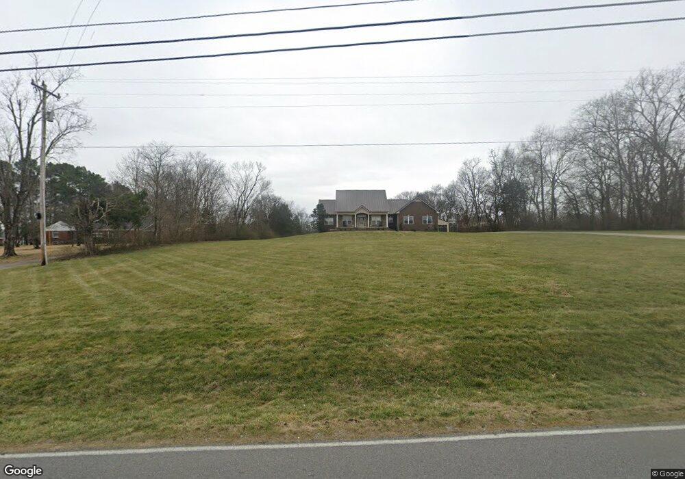
636 Coles Ferry Rd Gallatin, TN 37066
Estimated Value: $338,201 - $393,000
Studio
2
Baths
1,908
Sq Ft
$190/Sq Ft
Est. Value
About This Home
This home is located at 636 Coles Ferry Rd, Gallatin, TN 37066 and is currently estimated at $362,800, approximately $190 per square foot. 636 Coles Ferry Rd is a home located in Sumner County with nearby schools including Vena Stuart Elementary School, Rucker Stewart Middle School, and Gallatin Senior High School.
Ownership History
Date
Name
Owned For
Owner Type
Purchase Details
Closed on
Jul 7, 2009
Sold by
Strong Justin and Strong Kathryn
Bought by
Strong Nicklaus
Current Estimated Value
Purchase Details
Closed on
Mar 31, 2009
Sold by
Nix Sherry Faye Summers
Bought by
Strong Justin and Strong Kathryn
Home Financials for this Owner
Home Financials are based on the most recent Mortgage that was taken out on this home.
Original Mortgage
$165,871
Interest Rate
5.18%
Mortgage Type
Unknown
Create a Home Valuation Report for This Property
The Home Valuation Report is an in-depth analysis detailing your home's value as well as a comparison with similar homes in the area
Home Values in the Area
Average Home Value in this Area
Purchase History
| Date | Buyer | Sale Price | Title Company |
|---|---|---|---|
| Strong Nicklaus | -- | None Available | |
| Strong Justin | $155,000 | None Available |
Source: Public Records
Mortgage History
| Date | Status | Borrower | Loan Amount |
|---|---|---|---|
| Closed | Strong Justin | $165,871 |
Source: Public Records
Tax History
| Year | Tax Paid | Tax Assessment Tax Assessment Total Assessment is a certain percentage of the fair market value that is determined by local assessors to be the total taxable value of land and additions on the property. | Land | Improvement |
|---|---|---|---|---|
| 2025 | $1,106 | $77,850 | $19,575 | $58,275 |
| 2023 | $1,103 | $49,000 | $15,175 | $33,825 |
| 2022 | $1,108 | $49,000 | $15,175 | $33,825 |
| 2021 | $1,108 | $49,000 | $15,175 | $33,825 |
| 2020 | $1,108 | $49,000 | $15,175 | $33,825 |
| 2019 | $1,108 | $0 | $0 | $0 |
| 2018 | $874 | $0 | $0 | $0 |
| 2017 | $874 | $0 | $0 | $0 |
| 2016 | $885 | $0 | $0 | $0 |
| 2015 | -- | $0 | $0 | $0 |
| 2014 | -- | $0 | $0 | $0 |
Source: Public Records
Map
Nearby Homes
- 617 Coles Ferry Rd
- 1162 Timberwood Dr
- 904 Coles Ferry Rd
- 225 Drivers Ln
- 1208 Langwood Dr
- 118 Shawn Dr
- 203 Coles Ferry Rd
- 1087 Woods Ferry Rd
- 0 Woods Ferry Rd
- 1014 Keeneland Dr
- 214 Primrose Ln
- 211 Primrose Ln
- 207 Primrose Ln
- 121 Cumberland Cir
- 606 Tompkins Ln
- 1380 Highway 109 N
- 189 Primrose Ln
- 183 Primrose Ln
- 148 Stanley Dr
- 1428 109s Hwy
- 640 Coles Ferry Rd
- 630 Coles Ferry Rd
- 624 Coles Ferry Rd Unit A
- 624 Coles Ferry Rd
- 624 Coles Ferry Rd
- 624 Coles Ferry Rd
- 660 Coles Ferry Rd
- 620 Coles Ferry Rd
- 15 Coles Ferry Rd #15
- 635 Coles Ferry Rd
- 616 Coles Ferry Rd
- 623 Coles Ferry Rd
- 287 Drivers Ln
- 610 Coles Ferry Rd
- 610 Cole's Ferry Rd
- 327 Drivers Ln
- 335 Drivers Ln
- 317 Drivers Ln
- 339 Drivers Ln
Your Personal Tour Guide
Ask me questions while you tour the home.