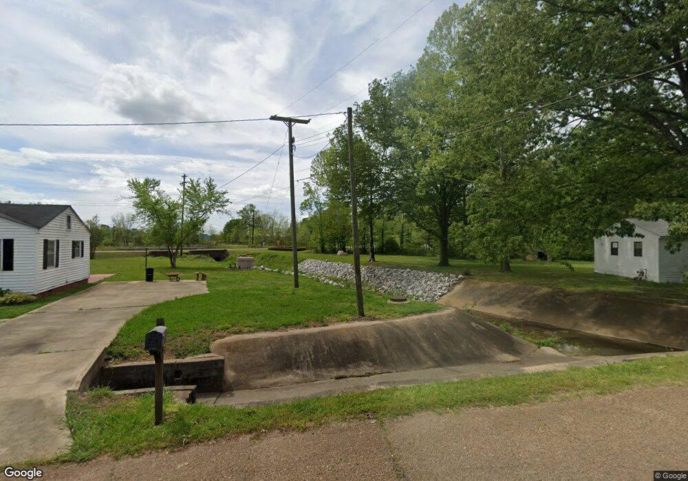
636 Meadowbrook Cir West Point, MS 39773
Estimated Value: $85,000 - $148,000
3
Beds
--
Bath
1,310
Sq Ft
$86/Sq Ft
Est. Value
About This Home
This home is located at 636 Meadowbrook Cir, West Point, MS 39773 and is currently estimated at $112,592, approximately $85 per square foot. 636 Meadowbrook Cir is a home located in Clay County with nearby schools including East Side Elementary School, West Clay Elementary School, and Church Hill Elementary School.
Ownership History
Date
Name
Owned For
Owner Type
Purchase Details
Closed on
Jul 12, 2025
Sold by
Wonnacott Thomas and Wonnacott Cynthia
Bought by
Rice Christopher Deon and Rice Lydia Ruth
Current Estimated Value
Home Financials for this Owner
Home Financials are based on the most recent Mortgage that was taken out on this home.
Original Mortgage
$73,000
Outstanding Balance
$72,876
Interest Rate
6.85%
Mortgage Type
New Conventional
Estimated Equity
$39,716
Create a Home Valuation Report for This Property
The Home Valuation Report is an in-depth analysis detailing your home's value as well as a comparison with similar homes in the area
Home Values in the Area
Average Home Value in this Area
Purchase History
| Date | Buyer | Sale Price | Title Company |
|---|---|---|---|
| Rice Christopher Deon | -- | None Listed On Document | |
| Rice Christopher Deon | -- | None Listed On Document |
Source: Public Records
Mortgage History
| Date | Status | Borrower | Loan Amount |
|---|---|---|---|
| Open | Rice Christopher Deon | $73,000 | |
| Closed | Rice Christopher Deon | $73,000 |
Source: Public Records
Tax History Compared to Growth
Tax History
| Year | Tax Paid | Tax Assessment Tax Assessment Total Assessment is a certain percentage of the fair market value that is determined by local assessors to be the total taxable value of land and additions on the property. | Land | Improvement |
|---|---|---|---|---|
| 2024 | $533 | $9,822 | $1,802 | $8,020 |
| 2023 | $1,322 | $8,833 | $1,802 | $7,031 |
| 2022 | $485 | $8,833 | $1,802 | $7,031 |
| 2021 | $483 | $8,833 | $1,802 | $7,031 |
| 2020 | $486 | $8,833 | $1,802 | $7,031 |
| 2019 | $450 | $8,768 | $1,802 | $6,966 |
| 2018 | $171 | $5,846 | $1,202 | $4,644 |
| 2017 | $171 | $5,846 | $1,202 | $4,644 |
| 2016 | $165 | $5,846 | $1,202 | $4,644 |
| 2015 | $156 | $5,291 | $1,202 | $4,089 |
| 2014 | $309 | $5,291 | $1,202 | $4,089 |
| 2013 | $309 | $5,291 | $1,202 | $4,089 |
Source: Public Records
Map
Nearby Homes
- 15 David St
- 402 Cromwell St
- 1046 E Brame Ave
- 238 Calhoun St
- 346 E Brame Ave
- 500 Grove St
- 44 Torbert Dr
- 472 S Eshman Ave
- 480 E Westbrook St
- 479 E Westbrook St
- 485 E Westbrook St
- 551 E Westbrook St
- 184 Tournament St
- 1104 E Broad St
- 1180 E Broad St
- 98 Court St
- 206 S Division St
- 389 Mapleview Rd
- 228 S Division St
- 1153 E Broad St
- 638 Meadowbrook Cir
- 640 Meadowbrook Cir
- 81 Meadowbrook Cir
- 603 Meadowbrook Cir
- 614 Meadowbrook Cir
- 628 Meadowbrook Cir
- 610 Meadowbrook Cir
- 612 Meadowbrook Cir
- 626 Meadowbrook Cir
- 616 Meadowbrook Cir
- 624 Meadowbrook Cir
- 611 Meadowbrook Cir
- 622 Meadowbrook Cir
- 617 Meadowbrook Cir
- 618 Meadowbrook Cir
- 158 Meadowbrook Cir
- 158 Meadowbrook
- 615 Meadowbrook Cir
- 620 Meadowbrook Cir
- 613 Meadowbrook Cir