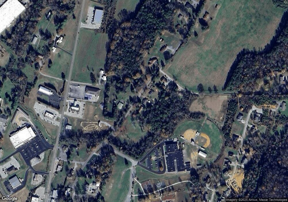
636 N Main St Decatur, TN 37322
Estimated Value: $135,905 - $237,000
--
Bed
1
Bath
1,144
Sq Ft
$164/Sq Ft
Est. Value
About This Home
This home is located at 636 N Main St, Decatur, TN 37322 and is currently estimated at $187,976, approximately $164 per square foot. 636 N Main St is a home located in Meigs County with nearby schools including Meigs County High School.
Ownership History
Date
Name
Owned For
Owner Type
Purchase Details
Closed on
Jul 18, 2002
Bought by
Brown James R
Current Estimated Value
Purchase Details
Closed on
Oct 3, 2000
Sold by
Patrick Miller James
Bought by
Brown James R
Purchase Details
Closed on
Oct 3, 1989
Bought by
Shaver Kelly D
Purchase Details
Closed on
Apr 28, 1989
Purchase Details
Closed on
May 12, 1986
Bought by
Letner Harold Randy and Letner Lorinda K
Purchase Details
Closed on
Jul 23, 1974
Create a Home Valuation Report for This Property
The Home Valuation Report is an in-depth analysis detailing your home's value as well as a comparison with similar homes in the area
Home Values in the Area
Average Home Value in this Area
Purchase History
| Date | Buyer | Sale Price | Title Company |
|---|---|---|---|
| Brown James R | $100 | -- | |
| Brown James R | $100 | -- | |
| Brown James R | $75,000 | -- | |
| Shaver Kelly D | $31,500 | -- | |
| Shaver Kelly D | $31,500 | -- | |
| -- | -- | -- | |
| -- | -- | -- | |
| Letner Harold Randy | -- | -- | |
| Letner Harold Randy | -- | -- | |
| -- | -- | -- | |
| -- | -- | -- |
Source: Public Records
Tax History Compared to Growth
Tax History
| Year | Tax Paid | Tax Assessment Tax Assessment Total Assessment is a certain percentage of the fair market value that is determined by local assessors to be the total taxable value of land and additions on the property. | Land | Improvement |
|---|---|---|---|---|
| 2025 | $388 | $19,075 | $0 | $0 |
| 2024 | $388 | $19,075 | $2,225 | $16,850 |
| 2023 | $388 | $19,075 | $2,225 | $16,850 |
| 2022 | $378 | $19,075 | $2,225 | $16,850 |
| 2021 | $378 | $19,075 | $2,225 | $16,850 |
| 2020 | $368 | $19,075 | $2,225 | $16,850 |
| 2019 | $368 | $15,825 | $1,800 | $14,025 |
| 2018 | $368 | $15,825 | $1,800 | $14,025 |
| 2017 | $368 | $15,825 | $1,800 | $14,025 |
| 2016 | $357 | $15,825 | $1,800 | $14,025 |
| 2015 | $346 | $15,325 | $1,800 | $13,525 |
| 2014 | $328 | $14,550 | $1,850 | $12,700 |
Source: Public Records
Map
Nearby Homes
- 1043 Main St
- 17716 State Highway 58 N
- 240 W Park Cir
- 17855 State Highway 58 N
- 982 N Main St
- 118 Cedar Cir
- 140 Winfield Ln
- 204 Arrants Rd
- 464 Meadowview Ln
- 395 Robinson Ln
- 166 Seals Place
- Lot 38 Dogwood Cir
- 0 Robbies Ln Unit 1302188
- 00 30 W
- 0 River Rd Unit 1514772
- 0 River Rd Unit 25 10544010
- 0 River Rd Unit 8 18 10544014
- 0 River Rd Unit 26 10543996
- 0 River Rd Unit 1514769
- 0 River Rd Unit 1506329
- 660 N Main St
- 598 N Main St
- 647 N Main St
- 0 N Main St
- 686 N Main St
- 586 N Main St
- 711 N Main St
- 17690 State Highway 58 N
- 743 N Main St
- 17640 Tennessee 58
- 155 Z St
- 287 Tennessee 58
- 21337 Tennessee 58
- Na Tennessee 58
- 000 Tennessee 58
- 231 W Park Cir
- 211 W Park Cir
- 201 W Park Cir
- 0.61 Park Grove Place
- 0.67 Park Grove Place
