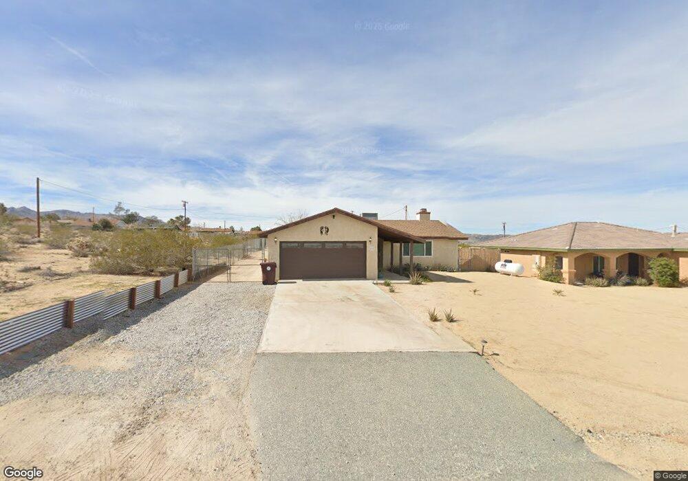
6362 Canyon Rd Twentynine Palms, CA 92277
Estimated Value: $275,505 - $293,000
3
Beds
2
Baths
1,170
Sq Ft
$241/Sq Ft
Est. Value
About This Home
This home is located at 6362 Canyon Rd, Twentynine Palms, CA 92277 and is currently estimated at $282,126, approximately $241 per square foot. 6362 Canyon Rd is a home located in San Bernardino County with nearby schools including Oasis Elementary School, Twentynine Palms Junior High School, and Twentynine Palms High School.
Ownership History
Date
Name
Owned For
Owner Type
Purchase Details
Closed on
May 15, 2002
Sold by
Mcclay Jack A
Bought by
Gibson Michael D and Gibson Lori D
Current Estimated Value
Home Financials for this Owner
Home Financials are based on the most recent Mortgage that was taken out on this home.
Original Mortgage
$86,700
Outstanding Balance
$36,120
Interest Rate
6.74%
Mortgage Type
VA
Estimated Equity
$246,006
Create a Home Valuation Report for This Property
The Home Valuation Report is an in-depth analysis detailing your home's value as well as a comparison with similar homes in the area
Home Values in the Area
Average Home Value in this Area
Purchase History
| Date | Buyer | Sale Price | Title Company |
|---|---|---|---|
| Gibson Michael D | $85,000 | First American Title |
Source: Public Records
Mortgage History
| Date | Status | Borrower | Loan Amount |
|---|---|---|---|
| Open | Gibson Michael D | $86,700 |
Source: Public Records
Tax History Compared to Growth
Tax History
| Year | Tax Paid | Tax Assessment Tax Assessment Total Assessment is a certain percentage of the fair market value that is determined by local assessors to be the total taxable value of land and additions on the property. | Land | Improvement |
|---|---|---|---|---|
| 2025 | $1,822 | $125,573 | $12,556 | $113,017 |
| 2024 | $1,822 | $123,111 | $12,310 | $110,801 |
| 2023 | $1,755 | $120,697 | $12,069 | $108,628 |
| 2022 | $1,714 | $118,330 | $11,832 | $106,498 |
| 2021 | $1,694 | $116,010 | $11,600 | $104,410 |
| 2020 | $1,675 | $114,820 | $11,481 | $103,339 |
| 2019 | $1,628 | $112,569 | $11,256 | $101,313 |
| 2018 | $1,590 | $110,361 | $11,035 | $99,326 |
| 2017 | $1,570 | $108,197 | $10,819 | $97,378 |
| 2016 | $1,541 | $106,076 | $10,607 | $95,469 |
| 2015 | $1,444 | $104,483 | $10,448 | $94,035 |
| 2014 | $1,436 | $102,436 | $10,243 | $92,193 |
Source: Public Records
Map
Nearby Homes
- 6378 Canyon Rd
- 6424 Canyon Rd
- 6344 Timothy Ave
- 7054 Canyon Rd
- 6113311600 Canyon Rd
- 0 Timothy Ave Unit IG25278726
- 0 Timothy Ave Unit SW24246931
- 0 Sheridan Rd Unit OC23054129
- 1 Acre On Hwy 62 Near El Camino Rd
- 70138 Sullivan Rd
- 5440 Shoshone Valley Rd
- 5400 Shoshone Valley Rd
- 5960 Sunrise Rd
- 2 Sullivan Rd
- 00 29 Palms Outer Hwy Hwy
- 6012 Regino Ave
- 00 Gorgonio Dr
- 0 Old Dale Rd Unit PW24188895
- 0 Old Dale Rd Unit DW25098066
- 0 Old Dale Rd Unit 24-470357
- 6344 Canyon Rd
- 6332 Canyon Rd
- 6320 Canyon Rd
- 6312 Canyon Rd
- 6412 Canyon Rd
- 6363 Timothy Ave
- 6345 Timothy Ave
- 6333 Timothy Ave
- 6377 Timothy Ave
- 6395 Timothy Ave
- 6403 Timothy Ave
- 6317 Timothy Ave
- 6411 Timothy Ave
- 6305 Timothy Ave
- 6380 Timothy Ave
- 6348 Timothy Ave
- 6372 Timothy Ave
- 6390 Timothy Ave
- 6396 Timothy Ave
- 6332 Timothy Ave