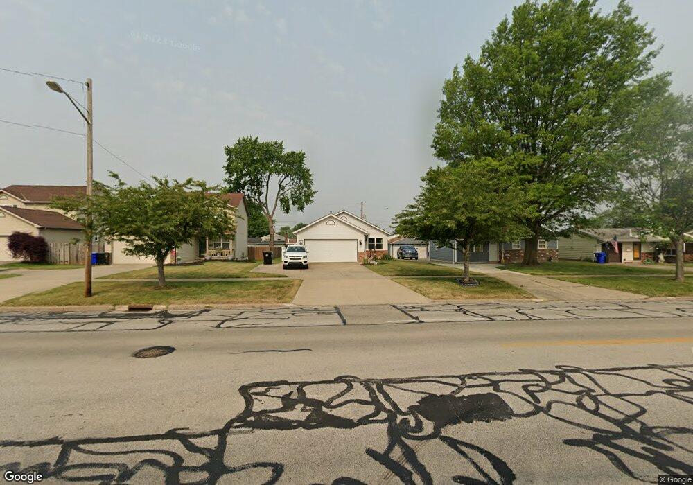
6362 Smith Rd Brookpark, OH 44142
Estimated Value: $206,000 - $248,000
3
Beds
2
Baths
1,408
Sq Ft
$157/Sq Ft
Est. Value
About This Home
This home is located at 6362 Smith Rd, Brookpark, OH 44142 and is currently estimated at $220,940, approximately $156 per square foot. 6362 Smith Rd is a home located in Cuyahoga County with nearby schools including Berea-Midpark Middle School, Berea-Midpark High School, and Huber Heights Preparatory Academy Parma Academy.
Ownership History
Date
Name
Owned For
Owner Type
Purchase Details
Closed on
Dec 27, 1995
Sold by
Hyman Builders Inc
Bought by
Strosnider Mark A and Strosnider Asuncion R
Current Estimated Value
Home Financials for this Owner
Home Financials are based on the most recent Mortgage that was taken out on this home.
Original Mortgage
$123,000
Interest Rate
6.5%
Mortgage Type
New Conventional
Purchase Details
Closed on
May 9, 1995
Sold by
Dal Const Inc
Bought by
Hyman Building Co
Purchase Details
Closed on
May 12, 1978
Bought by
Dal Construction Inc
Purchase Details
Closed on
Jun 9, 1976
Bought by
Sunrise Development Inc
Purchase Details
Closed on
Jan 1, 1975
Bought by
Sunrise Development Inc
Create a Home Valuation Report for This Property
The Home Valuation Report is an in-depth analysis detailing your home's value as well as a comparison with similar homes in the area
Home Values in the Area
Average Home Value in this Area
Purchase History
| Date | Buyer | Sale Price | Title Company |
|---|---|---|---|
| Strosnider Mark A | $143,000 | -- | |
| Hyman Building Co | $130,000 | -- | |
| Dal Construction Inc | -- | -- | |
| Sunrise Development Inc | $3,300 | -- | |
| Sunrise Development Inc | -- | -- |
Source: Public Records
Mortgage History
| Date | Status | Borrower | Loan Amount |
|---|---|---|---|
| Previous Owner | Strosnider Mark A | $123,000 |
Source: Public Records
Tax History
| Year | Tax Paid | Tax Assessment Tax Assessment Total Assessment is a certain percentage of the fair market value that is determined by local assessors to be the total taxable value of land and additions on the property. | Land | Improvement |
|---|---|---|---|---|
| 2024 | $3,350 | $66,430 | $9,660 | $56,770 |
| 2023 | $3,547 | $58,240 | $8,260 | $49,980 |
| 2022 | $3,522 | $58,240 | $8,260 | $49,980 |
| 2021 | $3,502 | $58,240 | $8,260 | $49,980 |
| 2020 | $3,157 | $46,200 | $6,550 | $39,660 |
| 2019 | $3,062 | $132,000 | $18,700 | $113,300 |
| 2018 | $3,050 | $46,200 | $6,550 | $39,660 |
| 2017 | $2,712 | $37,950 | $6,130 | $31,820 |
| 2016 | $2,689 | $37,950 | $6,130 | $31,820 |
| 2015 | $2,656 | $37,950 | $6,130 | $31,820 |
| 2014 | $2,656 | $39,940 | $6,440 | $33,500 |
Source: Public Records
Map
Nearby Homes
- 6131 Hardin Dr
- 15504 Roxboro Dr
- 16001 Sylvia Dr
- 14398 Sheldon Rd
- 6095 Stark Dr
- 15490 Oakshire Ct
- 6710 Woodruff Ct
- 6759 Quarrystone Ln
- 6103 Westbrook Dr
- 16117 Hocking Blvd
- 15532 Rademaker Dr
- 14024 Donald Dr
- 6815 Middlebrook Blvd
- 6014 Westbrook Dr
- 6744 Fry Rd Unit 4
- 6720 Benedict Dr
- 6752 Benedict Dr
- 6748 Benedict Dr
- 6744 Benedict Dr
- 6724 Benedict Dr
- 6354 Smith Rd
- 6370 Smith Rd
- 6346 Smith Rd
- 6378 Smith Rd
- 6363 Edgehurst Dr
- 6371 Edgehurst Dr
- 6355 Edgehurst Dr
- 6384 Smith Rd
- 6340 Smith Rd
- 6379 Edgehurst Dr
- 6347 Edgehurst Dr
- 6392 Smith Rd
- 6385 Edgehurst Dr
- 6341 Edgehurst Dr
- 6330 Smith Rd
- 6393 Edgehurst Dr
- 6398 Smith Rd
- 6371 Smith Rd
- 6333 Edgehurst Dr
- 6351 Smith Rd
Your Personal Tour Guide
Ask me questions while you tour the home.