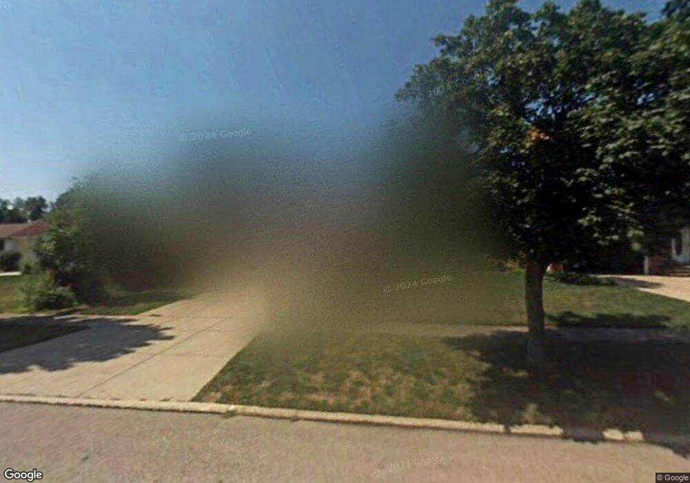
6363 Ashdale Rd Cleveland, OH 44124
Estimated Value: $276,000 - $366,000
3
Beds
2
Baths
1,819
Sq Ft
$179/Sq Ft
Est. Value
About This Home
This home is located at 6363 Ashdale Rd, Cleveland, OH 44124 and is currently estimated at $325,316, approximately $178 per square foot. 6363 Ashdale Rd is a home located in Cuyahoga County with nearby schools including Mayfield High School, Gilmour Academy, and University School.
Ownership History
Date
Name
Owned For
Owner Type
Purchase Details
Closed on
Oct 25, 2000
Sold by
Clare Bushman Mary
Bought by
Boughambolz Ilies and Boughambolz Kim L
Current Estimated Value
Home Financials for this Owner
Home Financials are based on the most recent Mortgage that was taken out on this home.
Original Mortgage
$115,000
Outstanding Balance
$42,436
Interest Rate
7.9%
Estimated Equity
$282,880
Purchase Details
Closed on
Aug 25, 1978
Sold by
Gupta Suresh K and Gupta Prakash K
Bought by
Bushman Mary Clare
Purchase Details
Closed on
Jan 1, 1975
Bought by
Gupta Suresh K and Gupta Prakash K
Create a Home Valuation Report for This Property
The Home Valuation Report is an in-depth analysis detailing your home's value as well as a comparison with similar homes in the area
Home Values in the Area
Average Home Value in this Area
Purchase History
| Date | Buyer | Sale Price | Title Company |
|---|---|---|---|
| Boughambolz Ilies | $145,000 | Title Xperts Agency Inc | |
| Bushman Mary Clare | $76,000 | -- | |
| Gupta Suresh K | -- | -- |
Source: Public Records
Mortgage History
| Date | Status | Borrower | Loan Amount |
|---|---|---|---|
| Open | Boughambolz Ilies | $115,000 |
Source: Public Records
Tax History Compared to Growth
Tax History
| Year | Tax Paid | Tax Assessment Tax Assessment Total Assessment is a certain percentage of the fair market value that is determined by local assessors to be the total taxable value of land and additions on the property. | Land | Improvement |
|---|---|---|---|---|
| 2024 | $6,115 | $93,940 | $18,585 | $75,355 |
| 2023 | $5,010 | $70,460 | $14,420 | $56,040 |
| 2022 | $5,128 | $70,455 | $14,420 | $56,035 |
| 2021 | $5,075 | $70,460 | $14,420 | $56,040 |
| 2020 | $4,732 | $60,200 | $12,320 | $47,880 |
| 2019 | $4,584 | $172,000 | $35,200 | $136,800 |
| 2018 | $4,559 | $60,200 | $12,320 | $47,880 |
| 2017 | $4,616 | $57,050 | $11,130 | $45,920 |
| 2016 | $4,580 | $57,050 | $11,130 | $45,920 |
| 2015 | $4,231 | $57,050 | $11,130 | $45,920 |
| 2014 | $4,231 | $57,050 | $11,130 | $45,920 |
Source: Public Records
Map
Nearby Homes
- 6419 Longridge Rd
- 6464 Woodhawk Dr
- 6344 Woodhawk Dr
- 140 Fox Hollow Dr Unit 201A
- 220 Fox Hollow Dr Unit 308
- 180 Fox Hollow Dr Unit 105
- 200 Fox Hollow Dr Unit 100
- 200 Fox Hollow Dr Unit 104
- 210 Teal Trace Unit 210
- 6578 Gates Mills Blvd
- VL Som Center Rd
- 2565 Cedarwood Rd
- 31799 Gates Mills Blvd
- 6132 Westerham Rd
- 46 Bridgeport Way
- 2437 Cedarwood Rd
- 43 Bridgeport Way
- 31000 Cedar Rd
- 1604 Fruitland Ave
- 32500 Chestnut Ln
- 6369 Ashdale Rd
- 6357 Ashdale Rd
- 6345 Ashdale Rd
- 6375 Ashdale Rd
- 6384 Longridge Rd
- 6394 Longridge Rd
- 6339 Ashdale Rd
- 6378 Longridge Rd
- 6400 Longridge Rd
- 6370 Longridge Rd
- 6406 Longridge Rd
- 6364 Longridge Rd
- 6366 Ashdale Rd
- 6360 Ashdale Rd
- 6333 Ashdale Rd
- 1957 Marshfield Rd
- 6354 Ashdale Rd
- 6412 Longridge Rd
- 6378 Ashdale Rd
- 6348 Ashdale Rd