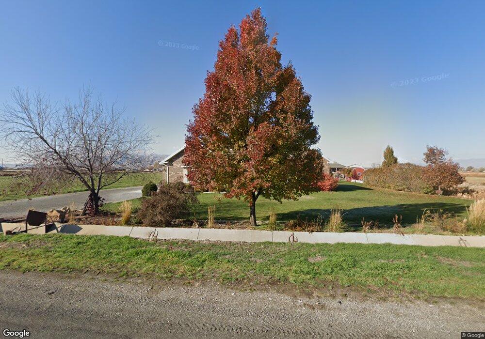
6364 S 2400 W Spanish Fork, UT 84660
Estimated Value: $882,000 - $1,686,000
4
Beds
4
Baths
2,907
Sq Ft
$470/Sq Ft
Est. Value
About This Home
This home is located at 6364 S 2400 W, Spanish Fork, UT 84660 and is currently estimated at $1,365,081, approximately $469 per square foot. 6364 S 2400 W is a home located in Utah County with nearby schools including Brockbank Elementary School, Spanish Fork Jr High School, and Spanish Fork High School.
Ownership History
Date
Name
Owned For
Owner Type
Purchase Details
Closed on
Oct 1, 2024
Sold by
Jones Roger L and Jones Diane N
Bought by
Roger Jones And Diane Jones Living Trust and Jones
Current Estimated Value
Purchase Details
Closed on
Mar 3, 2017
Sold by
Degraffenried Kelly and Degraffenried Kristine
Bought by
Jones Roger L and Jones Diane N
Home Financials for this Owner
Home Financials are based on the most recent Mortgage that was taken out on this home.
Original Mortgage
$400,000
Interest Rate
4.09%
Mortgage Type
New Conventional
Purchase Details
Closed on
Dec 10, 2007
Sold by
Simpson David R and Parry Michael D
Bought by
Degraffenried Kelly and Degraffenried Kristine
Create a Home Valuation Report for This Property
The Home Valuation Report is an in-depth analysis detailing your home's value as well as a comparison with similar homes in the area
Home Values in the Area
Average Home Value in this Area
Purchase History
| Date | Buyer | Sale Price | Title Company |
|---|---|---|---|
| Roger Jones And Diane Jones Living Trust | -- | None Listed On Document | |
| Jones Roger L | -- | Title West | |
| Degraffenried Kelly | -- | Title West Spanish Fork O |
Source: Public Records
Mortgage History
| Date | Status | Borrower | Loan Amount |
|---|---|---|---|
| Previous Owner | Jones Roger L | $400,000 |
Source: Public Records
Tax History Compared to Growth
Tax History
| Year | Tax Paid | Tax Assessment Tax Assessment Total Assessment is a certain percentage of the fair market value that is determined by local assessors to be the total taxable value of land and additions on the property. | Land | Improvement |
|---|---|---|---|---|
| 2025 | $4,752 | $511,603 | $486,000 | $811,600 |
| 2024 | $4,752 | $475,041 | $0 | $0 |
| 2023 | $4,940 | $494,231 | $0 | $0 |
| 2022 | $4,267 | $1,137,900 | $493,500 | $644,400 |
| 2021 | $3,717 | $830,400 | $345,900 | $484,500 |
| 2020 | $3,479 | $780,800 | $296,300 | $484,500 |
| 2019 | $3,212 | $697,100 | $242,500 | $454,600 |
| 2018 | $3,025 | $628,000 | $222,500 | $405,500 |
| 2017 | $3,102 | $241,174 | $0 | $0 |
| 2016 | $2,609 | $196,661 | $0 | $0 |
| 2015 | $2,496 | $186,574 | $0 | $0 |
| 2014 | $2,496 | $186,697 | $0 | $0 |
Source: Public Records
Map
Nearby Homes
- 5200 S River Dr Unit 3
- 6692 S 3200 W
- 5884 S 3200 W
- 6612 S 3200 W
- 6668 S 3200 W
- 2968 W 7300 S
- 5272 S River Ln
- 5310 S 3200 W
- 1068 S 3440 E Unit 120
- 1085 S 3440 E Unit 107
- 6550 S 1050 W
- 1299 W 250 S
- 1377 W 450 S
- 429 S 1280 W
- Aspen Plan at River Point
- Solitude Plan at River Point
- Snowbasin Plan at River Point
- Telluride Plan at River Point
- Breckenridge Plan at River Point
- Sundance Plan at River Point