6365 New Forsyth Rd Macon, GA 31210
Estimated Value: $537,000 - $809,000
3
Beds
5
Baths
5,408
Sq Ft
$131/Sq Ft
Est. Value
About This Home
This home is located at 6365 New Forsyth Rd, Macon, GA 31210 and is currently estimated at $707,017, approximately $130 per square foot. 6365 New Forsyth Rd is a home located in Monroe County with nearby schools including T.G. Scott Elementary School, Mary Persons High School, and Academy for Classical Education.
Ownership History
Date
Name
Owned For
Owner Type
Purchase Details
Closed on
Mar 21, 2006
Sold by
Not Provided
Bought by
Smith Jason Lee
Current Estimated Value
Create a Home Valuation Report for This Property
The Home Valuation Report is an in-depth analysis detailing your home's value as well as a comparison with similar homes in the area
Home Values in the Area
Average Home Value in this Area
Purchase History
| Date | Buyer | Sale Price | Title Company |
|---|---|---|---|
| Smith Jason Lee | -- | -- |
Source: Public Records
Tax History Compared to Growth
Tax History
| Year | Tax Paid | Tax Assessment Tax Assessment Total Assessment is a certain percentage of the fair market value that is determined by local assessors to be the total taxable value of land and additions on the property. | Land | Improvement |
|---|---|---|---|---|
| 2024 | $7,497 | $278,320 | $13,800 | $264,520 |
| 2023 | $7,195 | $234,240 | $13,800 | $220,440 |
| 2022 | $6,017 | $234,240 | $13,800 | $220,440 |
| 2021 | $6,229 | $234,240 | $13,800 | $220,440 |
| 2020 | $6,386 | $234,240 | $13,800 | $220,440 |
| 2019 | $6,436 | $234,240 | $13,800 | $220,440 |
| 2018 | $6,455 | $234,240 | $13,800 | $220,440 |
| 2017 | $6,808 | $234,240 | $13,800 | $220,440 |
| 2016 | $6,141 | $234,240 | $13,800 | $220,440 |
| 2015 | $5,823 | $234,240 | $13,800 | $220,440 |
| 2014 | $5,618 | $234,240 | $13,800 | $220,440 |
Source: Public Records
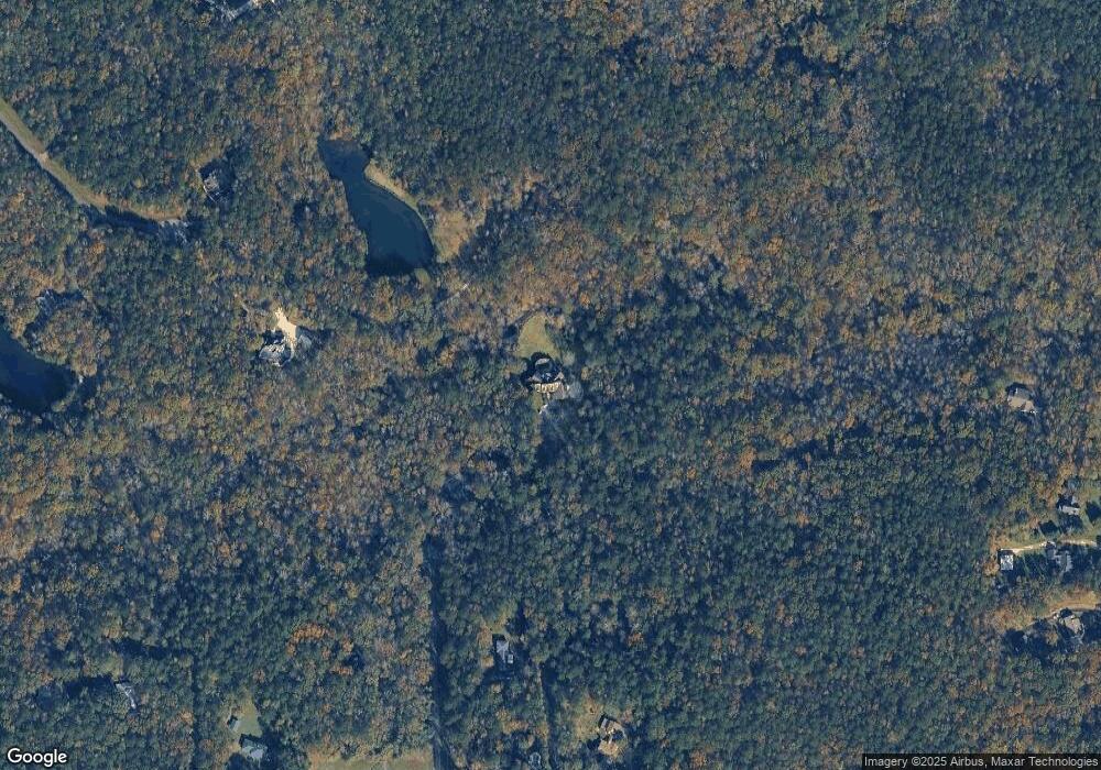
Map
Nearby Homes
- 1301 Exchange Dr
- 1402 Cottage Hill Dr
- 261 Providence Blvd
- 106 Whistler Ln
- 376 Providence Blvd
- 855 Tufthunter
- 906 Huntcliffe Dr
- 135 Providence Blvd
- 726 Waverly Point
- 730 Waverly Point
- 605 Waverly Ct
- 609 Waverly Ct
- 118 Weatherford Place
- 1375 Bass Rd
- 5761 Kentucky Downs Dr
- 101 Westchester Dr
- 4265 Sheraton Dr
- 281 Sleepy Creek Rd
- 240 Sleepy Creek Rd
- 120 Belmont Way
- 251 Sleepy Creek Rd
- 140 Belmont Way
- 220 Sleepy Creek Rd
- 6369 New Forsyth Rd
- 221 Sleepy Creek Rd
- 90 Belmont Way
- 210 Sleepy Creek Rd
- 171 Deer Ridge Trail
- 6367 New Forsyth Rd
- 161 Deer Ridge Trail
- 6527 New Forsyth Rd
- 151 Deer Ridge Trail
- 180 Deer Ridge Trail
- 69 Belmont Way
- 211 Sleepy Creek Rd
- 130 Carriage Dr
- 80 Belmont Way