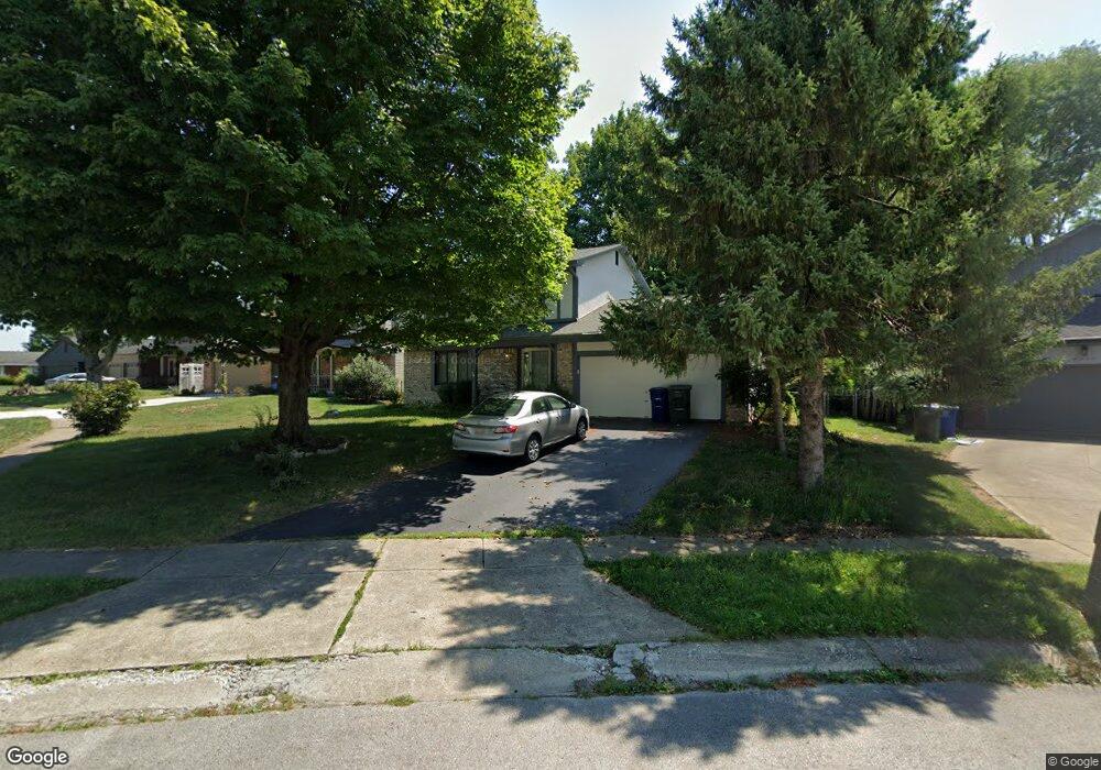
6366 Barnside Dr Canal Winchester, OH 43110
Estimated Value: $295,000 - $312,000
3
Beds
3
Baths
1,804
Sq Ft
$167/Sq Ft
Est. Value
About This Home
This home is located at 6366 Barnside Dr, Canal Winchester, OH 43110 and is currently estimated at $301,755, approximately $167 per square foot. 6366 Barnside Dr is a home located in Franklin County with nearby schools including Groveport Madison High School, A+ Arts Academy, and Brice Christian Academy Elementary School.
Ownership History
Date
Name
Owned For
Owner Type
Purchase Details
Closed on
Sep 1, 2020
Sold by
Schmitz Charles B
Bought by
Hotz Properties Llc
Current Estimated Value
Purchase Details
Closed on
Apr 17, 2019
Sold by
Mbinakar Alisa Yvonne
Bought by
Mbinakar Valentine and Mbinakar Alisa Yvonne
Purchase Details
Closed on
Oct 24, 1985
Bought by
Schmitz Charles A
Purchase Details
Closed on
May 1, 1980
Create a Home Valuation Report for This Property
The Home Valuation Report is an in-depth analysis detailing your home's value as well as a comparison with similar homes in the area
Home Values in the Area
Average Home Value in this Area
Purchase History
| Date | Buyer | Sale Price | Title Company |
|---|---|---|---|
| Hotz Properties Llc | $110,300 | World Class Title | |
| Mbinakar Valentine | -- | None Available | |
| Schmitz Charles A | $78,500 | -- | |
| -- | $72,500 | -- |
Source: Public Records
Tax History Compared to Growth
Tax History
| Year | Tax Paid | Tax Assessment Tax Assessment Total Assessment is a certain percentage of the fair market value that is determined by local assessors to be the total taxable value of land and additions on the property. | Land | Improvement |
|---|---|---|---|---|
| 2024 | $4,111 | $94,720 | $23,630 | $71,090 |
| 2023 | $4,073 | $94,720 | $23,630 | $71,090 |
| 2022 | $2,872 | $55,550 | $12,390 | $43,160 |
| 2021 | $2,880 | $55,550 | $12,390 | $43,160 |
| 2020 | $2,374 | $55,550 | $12,390 | $43,160 |
| 2019 | $2,065 | $45,160 | $10,330 | $34,830 |
| 2018 | $1,910 | $45,160 | $10,330 | $34,830 |
| 2017 | $1,904 | $45,160 | $10,330 | $34,830 |
| 2016 | $1,723 | $36,260 | $7,770 | $28,490 |
| 2015 | $1,742 | $36,260 | $7,770 | $28,490 |
| 2014 | $1,762 | $36,260 | $7,770 | $28,490 |
| 2013 | $972 | $36,260 | $7,770 | $28,490 |
Source: Public Records
Map
Nearby Homes
- 6286 Stoney Glenn Ct
- 3471 Treehouse Ln
- 6167 Kensington Glen Dr
- 3000 High St
- 5993 Columbus St
- 5978 Abernathy Ln
- 6523 Dorothys Creek
- 5976 Abernathy Ln
- 6800 Barker Dr
- 5970 Abernathy Ln
- 5969 Hollett Dr S
- 5968 Abernathy Ln
- 5962 Abernathy Ln
- 5960 Abernathy Ln
- 5957 Hollett Dr S
- St Martin Plan at Chatterton Commons
- 3310 Joshstock Dr
- 5946 Abernathy Ln
- 3304 Joshstock Dr
- 3298 Joshstock Dr
- 3464 Taco Ct
- 6372 Barnside Dr
- 3497 Countryview Dr
- 3458 Taco Ct
- 3491 Countryview Dr
- 3503 Countryview Dr
- 6378 Barnside Dr
- 6353 Barnside Dr
- 6366 Fence Row Ln
- 3483 Countryview Dr
- 6367 Barnside Dr
- 3452 Taco Ct
- 3511 Countryview Dr
- 3455 Taco Ct
- 3475 Countryview Dr
- 6375 Barnside Dr
- 6350 Barnside Dr
- 6341 Barnside Dr
- 3447 Taco Ct
- 3446 Taco Ct