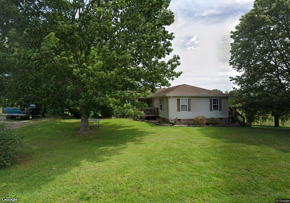
637 Blackwell Branch Rd Rutledge, TN 37861
Estimated Value: $307,508 - $580,000
--
Bed
2
Baths
1,922
Sq Ft
$205/Sq Ft
Est. Value
About This Home
This home is located at 637 Blackwell Branch Rd, Rutledge, TN 37861 and is currently estimated at $394,127, approximately $205 per square foot. 637 Blackwell Branch Rd is a home located in Grainger County with nearby schools including Rutledge Primary School, Rutledge Elementary School, and Rutledge Middle School.
Ownership History
Date
Name
Owned For
Owner Type
Purchase Details
Closed on
Mar 4, 2022
Sold by
Blair Susan F
Bought by
Blair Susan F and Blair Lester H
Current Estimated Value
Purchase Details
Closed on
Nov 30, 2005
Sold by
Walter Mortgage Company
Bought by
Hodge Susan M
Home Financials for this Owner
Home Financials are based on the most recent Mortgage that was taken out on this home.
Original Mortgage
$96,630
Interest Rate
6.23%
Mortgage Type
Cash
Purchase Details
Closed on
Nov 17, 2005
Bought by
Walter Mortgage Co
Home Financials for this Owner
Home Financials are based on the most recent Mortgage that was taken out on this home.
Original Mortgage
$96,630
Interest Rate
6.23%
Mortgage Type
Cash
Purchase Details
Closed on
Sep 27, 2005
Bought by
Walter Mortgage Co
Purchase Details
Closed on
Oct 13, 2001
Bought by
Andrews Cameron and Andrews Elizabeth
Create a Home Valuation Report for This Property
The Home Valuation Report is an in-depth analysis detailing your home's value as well as a comparison with similar homes in the area
Home Values in the Area
Average Home Value in this Area
Purchase History
| Date | Buyer | Sale Price | Title Company |
|---|---|---|---|
| Blair Susan F | -- | Davidson Jeffrey T | |
| Hodge Susan M | $89,900 | -- | |
| Walter Mortgage Co | $100 | -- | |
| Walter Mortgage Co | $119,300 | -- | |
| Andrews Cameron | $100 | -- |
Source: Public Records
Mortgage History
| Date | Status | Borrower | Loan Amount |
|---|---|---|---|
| Previous Owner | Andrews Cameron | $96,630 |
Source: Public Records
Tax History Compared to Growth
Tax History
| Year | Tax Paid | Tax Assessment Tax Assessment Total Assessment is a certain percentage of the fair market value that is determined by local assessors to be the total taxable value of land and additions on the property. | Land | Improvement |
|---|---|---|---|---|
| 2025 | $1,079 | $45,925 | $0 | $0 |
| 2024 | $1,079 | $45,925 | $4,000 | $41,925 |
| 2023 | $1,079 | $45,925 | $4,000 | $41,925 |
| 2022 | $1,055 | $45,925 | $4,000 | $41,925 |
| 2021 | $1,055 | $45,925 | $4,000 | $41,925 |
| 2020 | $1,123 | $45,925 | $4,000 | $41,925 |
| 2019 | $1,123 | $40,100 | $4,000 | $36,100 |
| 2018 | $970 | $40,100 | $4,000 | $36,100 |
| 2017 | $970 | $40,100 | $4,000 | $36,100 |
| 2016 | $970 | $40,100 | $4,000 | $36,100 |
| 2015 | $1,043 | $40,100 | $4,000 | $36,100 |
| 2014 | $1,043 | $41,710 | $0 | $0 |
Source: Public Records
Map
Nearby Homes
- 199 Chippewa Ln
- 235 Chippewa Ln
- 153 Washita Ln
- 211 Washita Ln
- 213 Washita Ln
- Lot 2 Baye Rd
- 0 Pheasant View Unit 1308407
- TBD Pheasant View
- Lot 209 Woodstock Dr
- 248 Cherokee Cove
- Lot 1 Cherokee Cove
- 440 Pheasant View
- 355 Pheasant View
- Lot 84 Mallard Baye
- 50 Cherokee Cove
- 48 Cherokee Cove
- 487 Peninsula Pointe
- 12 Rolling Hills
- 5 Rolling Hills
- 14 Rolling Hills
- 579 Blackwell Branch Rd
- 212 Pocahontas Ln
- 10649 Lakeshore Dr
- 10615 Lakeshore Dr
- Lot 8 Pocahontas Ln
- 0 Pocahontas Ln Unit 635486
- 0 Pocahontas Ln Unit 641465
- 0 Pocahontas Ln Unit 690402
- 0 Pocahontas Ln Unit 1163546
- 0 Pocahontas Ln Unit 1203846
- 0 Pocahontas Ln Unit 1181080
- 10557 Lakeshore Dr
- Lot 26 Pocahontas Ln
- Lot 27 Pocahontas Ln
- 314 Pocahontas Ln
- 155 Baye Rd
- 10460 Lakeshore Dr
- 221 Baye Rd
- 311 Pocahontas Ln
- 108 Vacation Way