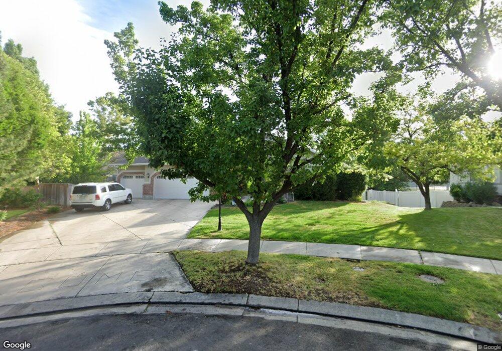
637 E Pheasant Haven Ct Draper, UT 84020
Estimated Value: $1,093,000 - $1,157,477
6
Beds
4
Baths
4,511
Sq Ft
$250/Sq Ft
Est. Value
About This Home
This home is located at 637 E Pheasant Haven Ct, Draper, UT 84020 and is currently estimated at $1,128,119, approximately $250 per square foot. 637 E Pheasant Haven Ct is a home located in Salt Lake County with nearby schools including Corner Canyon High School, Draper Park Middle School, and Summit Academy - Draper Elementary Campus.
Ownership History
Date
Name
Owned For
Owner Type
Purchase Details
Closed on
Nov 3, 2021
Sold by
Bohn Michel and Bohn Melanie G
Bought by
Keegan Timothy M and Keegan Kathleen N
Current Estimated Value
Home Financials for this Owner
Home Financials are based on the most recent Mortgage that was taken out on this home.
Original Mortgage
$653,000
Outstanding Balance
$598,365
Interest Rate
3.14%
Estimated Equity
$529,754
Purchase Details
Closed on
Aug 22, 2012
Sold by
Bohn Michael
Bought by
Bohn Michel and Bohn Melanie G
Home Financials for this Owner
Home Financials are based on the most recent Mortgage that was taken out on this home.
Original Mortgage
$373,350
Interest Rate
3.53%
Mortgage Type
New Conventional
Purchase Details
Closed on
Aug 2, 2004
Sold by
Curtis Jeffrey T and Curtis Michelle
Bought by
Golding Brian R and Golding Lori G
Home Financials for this Owner
Home Financials are based on the most recent Mortgage that was taken out on this home.
Original Mortgage
$190,000
Interest Rate
6.24%
Mortgage Type
Purchase Money Mortgage
Purchase Details
Closed on
May 6, 2003
Sold by
Curtis Jeffrey T and Curtis Michell
Bought by
Curtis Jeffrey T and Curtis Michelle
Purchase Details
Closed on
Dec 12, 2001
Sold by
Curtis Jeffrey T and Curtis Michelle
Bought by
Curtis Jeffrey T and Curtis Michelle
Purchase Details
Closed on
Jul 23, 1997
Sold by
Ouzts Todd L and Ouzts Susan D
Bought by
Curtis Jeffrey T and Curtis Michelle
Home Financials for this Owner
Home Financials are based on the most recent Mortgage that was taken out on this home.
Original Mortgage
$244,000
Interest Rate
7.7%
Purchase Details
Closed on
Aug 31, 1995
Sold by
Mcarthur Communities L C
Bought by
Ouzts Todd L and Ouzts Susan D
Home Financials for this Owner
Home Financials are based on the most recent Mortgage that was taken out on this home.
Original Mortgage
$200,000
Interest Rate
7.63%
Purchase Details
Closed on
Jan 11, 1995
Sold by
Mcwood Cannon Ii Lc
Bought by
Mcarthur Communities Lc
Create a Home Valuation Report for This Property
The Home Valuation Report is an in-depth analysis detailing your home's value as well as a comparison with similar homes in the area
Home Values in the Area
Average Home Value in this Area
Purchase History
| Date | Buyer | Sale Price | Title Company |
|---|---|---|---|
| Keegan Timothy M | -- | Vanguard Title Union Park | |
| Bohn Michel | -- | Meridian Title | |
| Golding Brian R | -- | Title West | |
| Curtis Jeffrey T | -- | -- | |
| Curtis Jeffrey T | -- | Associated Title | |
| Curtis Jeffrey T | -- | -- | |
| Ouzts Todd L | -- | -- | |
| Mcarthur Communities Lc | -- | -- |
Source: Public Records
Mortgage History
| Date | Status | Borrower | Loan Amount |
|---|---|---|---|
| Open | Keegan Timothy M | $653,000 | |
| Previous Owner | Bohn Michel | $373,350 | |
| Previous Owner | Golding Brian R | $190,000 | |
| Previous Owner | Curtis Jeffrey T | $244,000 | |
| Previous Owner | Ouzts Todd L | $200,000 |
Source: Public Records
Tax History
| Year | Tax Paid | Tax Assessment Tax Assessment Total Assessment is a certain percentage of the fair market value that is determined by local assessors to be the total taxable value of land and additions on the property. | Land | Improvement |
|---|---|---|---|---|
| 2025 | $5,423 | $1,074,400 | $311,600 | $762,800 |
| 2024 | $5,423 | $1,035,900 | $300,100 | $735,800 |
| 2023 | $5,315 | $1,007,800 | $272,400 | $735,400 |
| 2022 | $5,585 | $1,023,000 | $267,100 | $755,900 |
| 2021 | $4,689 | $733,600 | $251,600 | $482,000 |
| 2020 | $4,485 | $665,200 | $220,800 | $444,400 |
| 2019 | $4,233 | $613,400 | $220,800 | $392,600 |
| 2016 | $3,807 | $525,000 | $183,400 | $341,600 |
Source: Public Records
Map
Nearby Homes
- 13208 Sunset Glen Way
- 13160 S 300 E
- 847 E Willow Springs Ln
- 12959 S Fort St
- 13176 Day Ct
- 265 E 13275 S
- 13520 S Lone Rock Dr
- 902 E 12650 S
- 633 E Vandalay Ln
- 13216 S Telemark Ln
- 963 Old English Rd
- 835 E Canyon Breeze Ln
- 528 E 13710 S
- 296 E Ireland Ln Unit 101
- 261 E Concord Farm Ln Unit 6
- 919 E 13800 S
- 13469 S Mule Creek Cove
- 13554 Bella Monte Dr Unit 113
- 13545 S Villa Rosa Way
- 13050 S 1300 E
- 637 Pheasant Haven Ct
- 641 Pheasant Haven Ct
- 641 E Pheasant Haven Ct
- 654 Golden Pheasant Dr
- 654 E Golden Pheasant Dr
- 623 Pheasant Haven Ct
- 636 E Golden Pheasant Dr
- 636 Golden Pheasant Dr
- 672 Golden Pheasant Dr
- 672 E Golden Pheasant Dr
- 638 Pheasant Haven Ct
- 638 E Pheasant Haven Ct
- 622 Golden Pheasant Dr
- 622 E Golden Pheasant Dr
- 611 E Pheasant Haven Ct
- 611 Pheasant Haven Ct
- 626 Pheasant Haven Ct
- 626 E Pheasant Haven Ct
- 622 E Golden Pheasant Dr
- 612 Pheasant Haven Ct
Your Personal Tour Guide
Ask me questions while you tour the home.