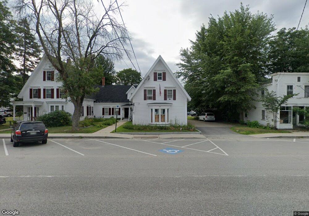
637 Main St Unit 4 Fryeburg, ME 04037
Estimated Value: $458,770
--
Bed
--
Bath
4,625
Sq Ft
$99/Sq Ft
Est. Value
About This Home
This home is located at 637 Main St Unit 4, Fryeburg, ME 04037 and is currently estimated at $458,770, approximately $99 per square foot. 637 Main St Unit 4 is a home located in Oxford County with nearby schools including Molly Ockett School, Molly Ockett Middle School, and New Life Christian Academy.
Ownership History
Date
Name
Owned For
Owner Type
Purchase Details
Closed on
Oct 26, 2023
Sold by
R2 Holdings Llc
Bought by
Sanyar 2 Llc
Current Estimated Value
Purchase Details
Closed on
Feb 6, 2021
Sold by
Riley Michael E and Riley Virginia A
Bought by
R2 Holdings Llc
Home Financials for this Owner
Home Financials are based on the most recent Mortgage that was taken out on this home.
Original Mortgage
$260,000
Interest Rate
2.6%
Mortgage Type
Purchase Money Mortgage
Create a Home Valuation Report for This Property
The Home Valuation Report is an in-depth analysis detailing your home's value as well as a comparison with similar homes in the area
Home Values in the Area
Average Home Value in this Area
Purchase History
| Date | Buyer | Sale Price | Title Company |
|---|---|---|---|
| Sanyar 2 Llc | $390,000 | Misc Company | |
| Sanyar 2 Llc | $390,000 | Misc Company | |
| R2 Holdings Llc | -- | Misc Company | |
| R2 Holdings Llc | -- | Misc Company |
Source: Public Records
Mortgage History
| Date | Status | Borrower | Loan Amount |
|---|---|---|---|
| Previous Owner | R2 Holdings Llc | $260,000 |
Source: Public Records
Tax History Compared to Growth
Tax History
| Year | Tax Paid | Tax Assessment Tax Assessment Total Assessment is a certain percentage of the fair market value that is determined by local assessors to be the total taxable value of land and additions on the property. | Land | Improvement |
|---|---|---|---|---|
| 2024 | $5,776 | $423,129 | $45,829 | $377,300 |
| 2023 | $5,259 | $318,700 | $32,700 | $286,000 |
| 2022 | $4,876 | $318,700 | $32,700 | $286,000 |
| 2021 | $4,940 | $318,700 | $32,700 | $286,000 |
| 2020 | $5,163 | $318,700 | $32,700 | $286,000 |
| 2019 | $5,683 | $338,246 | $81,932 | $256,314 |
| 2018 | $5,970 | $338,246 | $81,932 | $256,314 |
| 2017 | $5,615 | $338,246 | $81,932 | $256,314 |
| 2016 | $5,480 | $338,246 | $81,932 | $256,314 |
| 2015 | $5,412 | $338,246 | $81,932 | $256,314 |
| 2014 | $5,446 | $338,246 | $81,932 | $256,314 |
Source: Public Records
Map
Nearby Homes
- 110 Portland St
- 8 Pleasant St
- 83 Maple St
- 363 Main St
- 43 Fair St
- 61 Lovewell Pond Rd
- 226 Oxen Pull Rd
- 46 Woodland St
- 00 W View Dr Unit 38 / 1
- Lot 38 W View Dr
- 212 Bridgton Rd
- 180 Lovewell Pond Rd
- 26 Christopher St
- 0 Christopher St Unit 5052312
- 192 Mountain View Rd
- M10L44 Mountain View Rd
- 38 Webster Rd Unit 14B
- 6 Hattie Pike Rd
- 89 Mountain View Rd
- 78 Christopher St