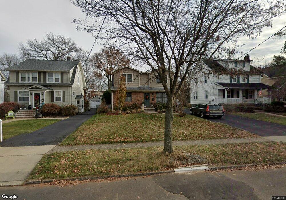
637 Roosevelt St Westfield, NJ 07090
Estimated Value: $706,000 - $866,000
--
Bed
--
Bath
1,836
Sq Ft
$446/Sq Ft
Est. Value
About This Home
This home is located at 637 Roosevelt St, Westfield, NJ 07090 and is currently estimated at $818,078, approximately $445 per square foot. 637 Roosevelt St is a home located in Union County with nearby schools including McKinley Elementary School, Westfield Senior High School, and Holy Trinity School.
Ownership History
Date
Name
Owned For
Owner Type
Purchase Details
Closed on
Dec 21, 2009
Sold by
Daniolowicz Linda and Obrien Sophie S
Bought by
Luka Karen and Luka Douglas
Current Estimated Value
Home Financials for this Owner
Home Financials are based on the most recent Mortgage that was taken out on this home.
Original Mortgage
$353,479
Outstanding Balance
$229,135
Interest Rate
4.78%
Mortgage Type
FHA
Estimated Equity
$588,943
Create a Home Valuation Report for This Property
The Home Valuation Report is an in-depth analysis detailing your home's value as well as a comparison with similar homes in the area
Home Values in the Area
Average Home Value in this Area
Purchase History
| Date | Buyer | Sale Price | Title Company |
|---|---|---|---|
| Luka Karen | $360,000 | None Available |
Source: Public Records
Mortgage History
| Date | Status | Borrower | Loan Amount |
|---|---|---|---|
| Open | Luka Karen | $353,479 |
Source: Public Records
Tax History Compared to Growth
Tax History
| Year | Tax Paid | Tax Assessment Tax Assessment Total Assessment is a certain percentage of the fair market value that is determined by local assessors to be the total taxable value of land and additions on the property. | Land | Improvement |
|---|---|---|---|---|
| 2025 | $11,582 | $514,300 | $326,900 | $187,400 |
| 2024 | $11,345 | $514,300 | $326,900 | $187,400 |
| 2023 | $11,345 | $514,300 | $326,900 | $187,400 |
| 2022 | $11,109 | $514,300 | $326,900 | $187,400 |
| 2021 | $11,124 | $514,300 | $326,900 | $187,400 |
| 2020 | $11,099 | $514,300 | $326,900 | $187,400 |
| 2019 | $11,057 | $514,300 | $326,900 | $187,400 |
| 2018 | $10,273 | $110,500 | $48,900 | $61,600 |
| 2017 | $10,217 | $110,500 | $48,900 | $61,600 |
| 2016 | $9,688 | $107,300 | $48,900 | $58,400 |
| 2015 | $9,495 | $107,300 | $48,900 | $58,400 |
| 2014 | $9,182 | $107,300 | $48,900 | $58,400 |
Source: Public Records
Map
Nearby Homes
- 350 W Dudley Ave
- 724 South Ave W Unit 724A
- 119 Lamberts Mill Rd
- 524 Edgar Rd
- 2154 W Broad St
- 2116 Newark Ave
- 525 Edgar Rd
- 2314 Longfellow Ave
- 314 Highgate Ave
- 614 Dorian Rd
- 1466 Lamberts Mill Rd
- 2219 North Ave Unit 6
- 303 Prospect St
- 538 Westfield Ave
- 260 Prospect St Unit C15
- 143 Stanmore Place
- 2286 Stocker Ln
- 869 Ternay Ave
- 2 Brookside Ct
- 1933 Mary Ellen Ln
- 641 Roosevelt St
- 633 Roosevelt St
- 645 Roosevelt St
- 631 Roosevelt St
- 629 Roosevelt St
- 636 Hort St
- 642 Hort St
- 634 Hort St
- 644 Hort St
- 630 Hort St
- 636 Roosevelt St
- 625 Roosevelt St
- 642 Roosevelt St
- 630 Roosevelt St
- 628 Hort St
- 648 Roosevelt St
- 626 Roosevelt St
- 617 Roosevelt St
- 622 Hort St
- 622 Roosevelt St