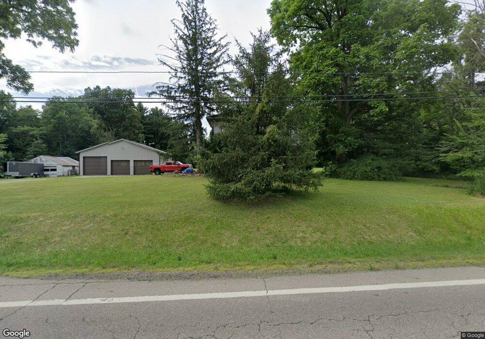
637 Us Highway 42 Ashland, OH 44805
Estimated Value: $286,283 - $346,000
3
Beds
1
Bath
1,904
Sq Ft
$164/Sq Ft
Est. Value
About This Home
This home is located at 637 Us Highway 42, Ashland, OH 44805 and is currently estimated at $311,321, approximately $163 per square foot. 637 Us Highway 42 is a home with nearby schools including Ashland High School, Ashland County Community Academy, and St. Edward Elementary School.
Ownership History
Date
Name
Owned For
Owner Type
Purchase Details
Closed on
Dec 1, 2022
Sold by
Phillips Bradley M and Phillips Barbra M
Bought by
Bradley M And Barbra M Phillips Trust
Current Estimated Value
Purchase Details
Closed on
Jun 16, 1987
Bought by
Phillips Bradley M
Create a Home Valuation Report for This Property
The Home Valuation Report is an in-depth analysis detailing your home's value as well as a comparison with similar homes in the area
Home Values in the Area
Average Home Value in this Area
Purchase History
| Date | Buyer | Sale Price | Title Company |
|---|---|---|---|
| Bradley M And Barbra M Phillips Trust | $125 | Heartland Title | |
| Bradley M And Barbra M Phillips Trust | $125 | Heartland Title | |
| Phillips Bradley M | $52,500 | -- |
Source: Public Records
Tax History Compared to Growth
Tax History
| Year | Tax Paid | Tax Assessment Tax Assessment Total Assessment is a certain percentage of the fair market value that is determined by local assessors to be the total taxable value of land and additions on the property. | Land | Improvement |
|---|---|---|---|---|
| 2024 | $2,446 | $68,450 | $17,430 | $51,020 |
| 2023 | $2,446 | $68,450 | $17,430 | $51,020 |
| 2022 | $2,238 | $48,880 | $12,440 | $36,440 |
| 2021 | $2,246 | $48,880 | $12,440 | $36,440 |
| 2020 | $2,132 | $48,880 | $12,440 | $36,440 |
| 2019 | $1,735 | $36,800 | $12,510 | $24,290 |
| 2018 | $1,741 | $36,800 | $12,510 | $24,290 |
| 2017 | $1,563 | $36,800 | $12,510 | $24,290 |
| 2016 | $1,563 | $32,570 | $11,070 | $21,500 |
| 2015 | $1,549 | $32,570 | $11,070 | $21,500 |
| 2013 | $1,580 | $32,640 | $10,070 | $22,570 |
Source: Public Records
Map
Nearby Homes
- 667 Township Road 1275
- 1173 Township Road 753
- 686 County Road 1302
- 0 Township Road 1275
- 486 Township Road 1275
- 1346 State Route 89
- 1346 Ohio 89
- 121 Harold Dr
- 67 Harold Dr
- 16 Terrace Dr
- 32 Terrace Dr
- 99 Harold Dr
- 95 Harold Dr
- 3 Terrace Dr
- 0 Eagle Way
- 945 Virginia Ave
- 1438 Peachtree Dr
- 1520 Orange Rd Unit 22
- 1520 Orange Rd
- 638 U S 42
- 1175 Township Road 653
- 641 Us Highway 42
- 634 Us Highway 42
- 0 Cr601
- 0 Cr 601
- 1133 County Road 601
- 1129 County Road 601
- 652 U S 42
- 651 Us Highway 42
- 1179 Township Road 653
- 1181 653
- 1127 County Road 601
- 1132 Cr 601
- 1181 Township Road 653
- 620 U S 42
- 655 Us Highway 42
- 656 U S 42
- 615 Us Highway 42
- 1128 County Road 601