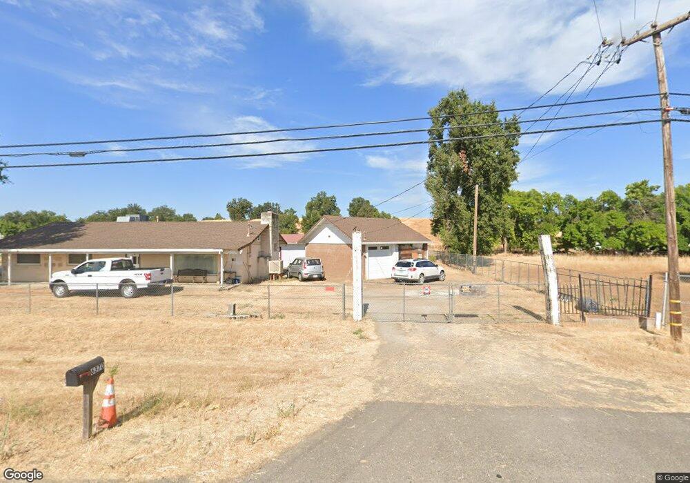
6370 Deschutes Rd Anderson, CA 96007
Estimated Value: $178,000 - $388,000
Studio
--
Bath
--
Sq Ft
2
Acres Lot
About This Home
This home is located at 6370 Deschutes Rd, Anderson, CA 96007 and is currently estimated at $297,359. 6370 Deschutes Rd is a home located in Shasta County with nearby schools including Prairie Elementary School, Pacheco Elementary School, and Sacred Heart Elementary School.
Ownership History
Date
Name
Owned For
Owner Type
Purchase Details
Closed on
Dec 3, 2024
Sold by
Joseph & Wyness Robinson Family Trust and Robinson Joseph
Bought by
Joseph E Robinson Survivors Trust and Robinson
Current Estimated Value
Purchase Details
Closed on
Apr 17, 2019
Sold by
Robinson Joseph E
Bought by
Robinson Joseph E
Home Financials for this Owner
Home Financials are based on the most recent Mortgage that was taken out on this home.
Original Mortgage
$30,000
Interest Rate
4%
Mortgage Type
Commercial
Purchase Details
Closed on
Apr 2, 2004
Sold by
Robinson Joseph Edward and Robinson Wyness O
Bought by
Robinson Joseph E and Robinson Wyness O
Create a Home Valuation Report for This Property
The Home Valuation Report is an in-depth analysis detailing your home's value as well as a comparison with similar homes in the area
Purchase History
We collect this data history from publicly available records. To have your information removed, we recommend requesting removal directly through your county’s website.
| Date | Buyer | Sale Price | Title Company |
|---|---|---|---|
| Joseph E Robinson Survivors Trust | -- | None Listed On Document | |
| Robinson Joseph E | -- | First American Title Company | |
| Robinson Joseph E | -- | -- |
Source: Public Records
Mortgage History
We collect this data history from publicly available records. To have your information removed, we recommend requesting removal directly through your county’s website.
| Date | Status | Borrower | Loan Amount |
|---|---|---|---|
| Previous Owner | Robinson Joseph E | $30,000 |
Source: Public Records
Tax History
| Year | Tax Paid | Tax Assessment Tax Assessment Total Assessment is a certain percentage of the fair market value that is determined by local assessors to be the total taxable value of land and additions on the property. | Land | Improvement |
|---|---|---|---|---|
| 2025 | $1,355 | $133,277 | $22,997 | $110,280 |
| 2024 | $1,327 | $130,665 | $22,547 | $108,118 |
| 2023 | $1,327 | $128,104 | $22,105 | $105,999 |
| 2022 | $1,292 | $125,593 | $21,672 | $103,921 |
| 2021 | $1,269 | $123,132 | $21,248 | $101,884 |
| 2020 | $1,253 | $121,871 | $21,031 | $100,840 |
| 2019 | $1,236 | $119,482 | $20,619 | $98,863 |
| 2018 | $1,186 | $117,140 | $20,215 | $96,925 |
| 2017 | $1,201 | $114,844 | $19,819 | $95,025 |
| 2016 | $1,135 | $112,593 | $19,431 | $93,162 |
| 2015 | $1,132 | $110,903 | $19,140 | $91,763 |
| 2014 | $1,118 | $108,732 | $18,766 | $89,966 |
Source: Public Records
Map
Nearby Homes
- 21322 Park Elm Ln
- 6905 Scotview Ln
- 21334 Dersch Rd
- 5760 Green Acres Dr
- 7008 Beatie Rd
- 6725 Park Ridge Dr
- 21126 Scheer Dr
- 000 Riverland Dr
- 22011 Reading Dr
- 21999 Los Altos Dr
- 0 Rupert Rd
- 21133 Ronald St
- 3006 Joyce Dr
- 21992 Los Altos Dr
- 5340 Balls Ferry Rd
- 2460 S Balls Ferry Rd
- 3372 Riverside Dr
- 5419 Shady Ln
- 2885 Iris St
- 2945 Silo Ct
- 6350 Deschutes Rd
- 6420 Deschutes Rd
- 6440 Deschutes Rd
- 6310 Deschutes Rd
- 6460 Deschutes Rd
- 6290 Deschutes Rd
- 6480 Deschutes Rd
- 6270 Deschutes Rd
- 21787 Dersch Rd
- 21831 Vogt Ln
- 21839 Vogt Ln
- 6383 Lardanel Ln
- 21809 Vogt Ln
- 6419 Lardanel Ln
- 21801 Vogt Ln
- 21942 Dersch Rd
- 21740 Vogt Ln
- 6536 Deschutes Rd
- 21769 Dersch Rd
- 21789 Vogt Ln
Your Personal Tour Guide
Ask me questions while you tour the home.