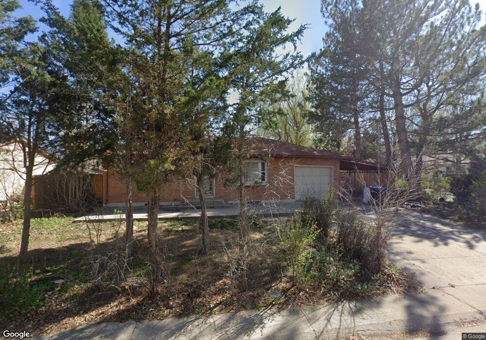
6372 Brooks Dr Arvada, CO 80004
Alta Vista NeighborhoodEstimated Value: $496,000 - $652,000
2
Beds
3
Baths
1,015
Sq Ft
$562/Sq Ft
Est. Value
About This Home
This home is located at 6372 Brooks Dr, Arvada, CO 80004 and is currently estimated at $570,673, approximately $562 per square foot. 6372 Brooks Dr is a home located in Jefferson County with nearby schools including Lawrence Elementary School, North Arvada Middle School, and Arvada High School.
Ownership History
Date
Name
Owned For
Owner Type
Purchase Details
Closed on
Jul 1, 2013
Sold by
Aaby Rick H
Bought by
Amundsen Alicyndra
Current Estimated Value
Create a Home Valuation Report for This Property
The Home Valuation Report is an in-depth analysis detailing your home's value as well as a comparison with similar homes in the area
Home Values in the Area
Average Home Value in this Area
Purchase History
| Date | Buyer | Sale Price | Title Company |
|---|---|---|---|
| Amundsen Alicyndra | -- | None Available |
Source: Public Records
Tax History
| Year | Tax Paid | Tax Assessment Tax Assessment Total Assessment is a certain percentage of the fair market value that is determined by local assessors to be the total taxable value of land and additions on the property. | Land | Improvement |
|---|---|---|---|---|
| 2024 | $3,296 | $33,980 | $17,576 | $16,404 |
| 2023 | $3,296 | $33,980 | $17,576 | $16,404 |
| 2022 | $2,680 | $27,362 | $12,712 | $14,650 |
| 2021 | $2,724 | $28,149 | $13,078 | $15,071 |
| 2020 | $2,300 | $23,832 | $9,811 | $14,021 |
| 2019 | $2,269 | $23,832 | $9,811 | $14,021 |
| 2018 | $2,157 | $22,025 | $7,144 | $14,881 |
| 2017 | $1,974 | $22,025 | $7,144 | $14,881 |
| 2016 | $1,670 | $17,551 | $5,539 | $12,012 |
| 2015 | $1,422 | $17,551 | $5,539 | $12,012 |
| 2014 | $1,422 | $14,042 | $4,872 | $9,170 |
Source: Public Records
Map
Nearby Homes
- 6371 Brooks Dr
- 6376 Brooks Dr
- 6457 Lee St
- 6209 Brooks Dr
- 6393 Moore Ct
- 6396 Nelson Ct
- 10693 W 63rd Dr Unit 101
- 10693 W 63rd Dr Unit 102
- 6069 Lee St
- 6428 Newcombe St Unit A
- 10731 W 63rd Ave Unit A
- 6648 Lewis St
- 6025 Brooks Dr
- 10785 W 63rd Place Unit 202
- 10785 W 63rd Place Unit 105
- 6641 Miller St
- 6350 Oak St Unit 306
- 6350 Oak St Unit 305
- 6483 Newcombe Ct
- 6385 Oak St Unit 205
- 6370 Brooks Dr
- 6375 Janice Way
- 6368 Brooks Dr
- 6390 Janice Way
- 6375 Brooks Dr
- 6377 Brooks Dr
- 6380 Janice Way
- 6374 Brooks Dr
- 6355 Janice Way
- 6373 Brooks Dr
- 6379 Brooks Dr
- 6370 Janice Way
- 6366 Brooks Dr
- 6381 Brooks Dr
- 6320 Janice Way
- 6325 Janice Way
- 6369 Brooks Dr
- 6367 Jellison Way
- 6347 Jellison Way
- 6364 Brooks Dr
Your Personal Tour Guide
Ask me questions while you tour the home.