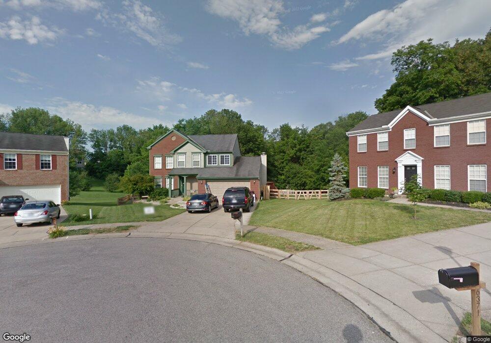
6375 Fieldsteade Dr Independence, KY 41051
Estimated Value: $349,000 - $367,000
About This Home
This home is located at 6375 Fieldsteade Dr, Independence, KY 41051 and is currently estimated at $361,621, approximately $190 per square foot. 6375 Fieldsteade Dr is a home located in Kenton County with nearby schools including White's Tower Elementary School, Woodland Middle School, and Scott High School.
Ownership History
We collect this data history from publicly available records. To have your information removed, we recommend requesting removal directly through your county’s website.
Purchase Details
Purchase Details
Home Financials for this Owner
Home Financials are based on the most recent Mortgage that was taken out on this home.Home Values in the Area
Average Home Value in this Area
Purchase History
We collect this data history from publicly available records. To have your information removed, we recommend requesting removal directly through your county’s website.
| Date | Buyer | Sale Price | Title Company |
|---|---|---|---|
| $50,000 | None Listed On Document | ||
| $50,000 | None Listed On Document | ||
| $135,835 | -- |
Mortgage History
We collect this data history from publicly available records. To have your information removed, we recommend requesting removal directly through your county’s website.
| Date | Status | Borrower | Loan Amount |
|---|---|---|---|
| Previous Owner | $130,950 |
Tax History
We collect this data history from publicly available records. To have your information removed, we recommend requesting removal directly through your county’s website.
| Year | Tax Paid | Tax Assessment Tax Assessment Total Assessment is a certain percentage of the fair market value that is determined by local assessors to be the total taxable value of land and additions on the property. | Land | Improvement |
|---|---|---|---|---|
| 2025 | $3,547 | $305,000 | $50,000 | $255,000 |
| 2024 | $3,736 | $305,000 | $35,000 | $270,000 |
| 2023 | $2,352 | $186,400 | $35,000 | $151,400 |
| 2022 | $2,413 | $186,400 | $35,000 | $151,400 |
| 2021 | $2,449 | $186,400 | $35,000 | $151,400 |
| 2020 | $2,140 | $158,700 | $35,000 | $123,700 |
| 2019 | $2,145 | $158,700 | $35,000 | $123,700 |
| 2018 | $2,157 | $158,700 | $35,000 | $123,700 |
| 2017 | $2,098 | $158,700 | $35,000 | $123,700 |
| 2015 | $2,036 | $158,700 | $30,000 | $128,700 |
| 2014 | $2,008 | $158,700 | $30,000 | $128,700 |
Map
- 774 Windmill Dr
- 6397 Regal Ridge Dr
- 6363 Greenmere Cir
- 718 Willow Green Dr
- 714 Willow Green Dr
- 6374 Greenmere Cir
- 789 Stonybrook Ct
- 6383 Greenmere Cir
- 6352 Pembroke Dr
- 6391 Greenmere Cir
- 6382 Greenmere Cir
- 907 Stablewatch Dr
- 951 Stablewatch Dr
- 6519 Meadow Creek Dr
- 6512 Meadow Creek Dr
- 820 Cox Rd
- 806 Cox Rd
- 11062 Briarview Ct
- 663 Sycamore Dr
- 2760 Sycamore Creek Dr
- 6374 Fieldsteade Dr
- 6371 Fieldsteade Dr
- 6370 Fieldsteade Dr
- 6367 Fieldsteade Dr
- 6366 Fieldsteade Dr
- 6362 Fieldsteade Dr
- 6363 Fieldsteade Dr
- 6383 Lakearbor Dr
- 6358 Fieldsteade Dr
- 6371 Lakearbor Dr
- 6375 Lakearbor Dr
- 6379 Lakearbor Dr
- 6367 Lakearbor Dr
- 6359 Fieldsteade Dr
- 6387 Lakearbor Dr
- 6363 Lakearbor Dr
- 6391 Lakearbor Dr
- 6354 Fieldsteade Dr
- 6395 Lakearbor Dr
- 6355 Fieldsteade Dr
Ask me questions while you tour the home.