Estimated Value: $260,000 - $332,000
3
Beds
2
Baths
1,618
Sq Ft
$178/Sq Ft
Est. Value
About This Home
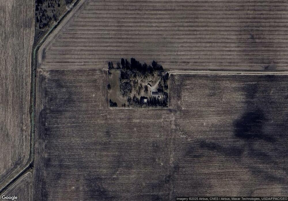
This home is located at 63767 230th St, Alden, MN 56009 and is currently estimated at $287,552, approximately $177 per square foot. 63767 230th St is a home located in Freeborn County with nearby schools including Alden-Conger Elementary School and Alden-Conger Secondary School.
Ownership History
Date
Name
Owned For
Owner Type
Purchase Details
Closed on
Oct 7, 2025
Sold by
Larson Cindy and Larson Jeffrey
Bought by
Hassing Emily and Hassing Matthew
Current Estimated Value
Home Financials for this Owner
Home Financials are based on the most recent Mortgage that was taken out on this home.
Original Mortgage
$325,000
Outstanding Balance
$325,000
Interest Rate
6.58%
Mortgage Type
New Conventional
Estimated Equity
-$37,448
Create a Home Valuation Report for This Property
The Home Valuation Report is an in-depth analysis detailing your home's value as well as a comparison with similar homes in the area
Home Values in the Area
Average Home Value in this Area
Purchase History
| Date | Buyer | Sale Price | Title Company |
|---|---|---|---|
| Hassing Emily | $345,000 | -- |
Source: Public Records
Mortgage History
| Date | Status | Borrower | Loan Amount |
|---|---|---|---|
| Open | Hassing Emily | $325,000 |
Source: Public Records
Tax History Compared to Growth
Tax History
| Year | Tax Paid | Tax Assessment Tax Assessment Total Assessment is a certain percentage of the fair market value that is determined by local assessors to be the total taxable value of land and additions on the property. | Land | Improvement |
|---|---|---|---|---|
| 2025 | $3,212 | $226,900 | $79,900 | $147,000 |
| 2024 | $3,460 | $225,700 | $79,900 | $145,800 |
| 2023 | $2,348 | $218,700 | $79,900 | $138,800 |
| 2022 | $1,824 | $201,100 | $64,900 | $136,200 |
| 2021 | $1,842 | $157,200 | $55,000 | $102,200 |
| 2020 | $1,850 | $144,600 | $45,000 | $99,600 |
| 2019 | $1,770 | $145,200 | $45,000 | $100,200 |
| 2018 | $1,292 | $0 | $0 | $0 |
| 2016 | $1,152 | $0 | $0 | $0 |
| 2015 | $1,046 | $0 | $0 | $0 |
| 2014 | $1,040 | $0 | $0 | $0 |
| 2012 | $1,252 | $0 | $0 | $0 |
Source: Public Records
Map
Nearby Homes
- 119 Hall Ln
- 150 Mason Ave
- 146 Washington Ave
- 23371 650th Ave
- 232 N Broadway
- 136 1st Ave W
- 304 S Broadway
- 259 Elizabeth St
- 25975 630th Ave
- 20343 680th Ave Unit LotWP001
- 65672 275th St
- 608 Lakeshore Dr
- 67927 270th St
- 22598 700th Ave
- L1 B3 S Industrial Park
- L4 B1 S Industrial Park
- 15815 620th Ave
- 245 3rd Ave SE
- 526 1st Ave SE
- 206 Mckinley St