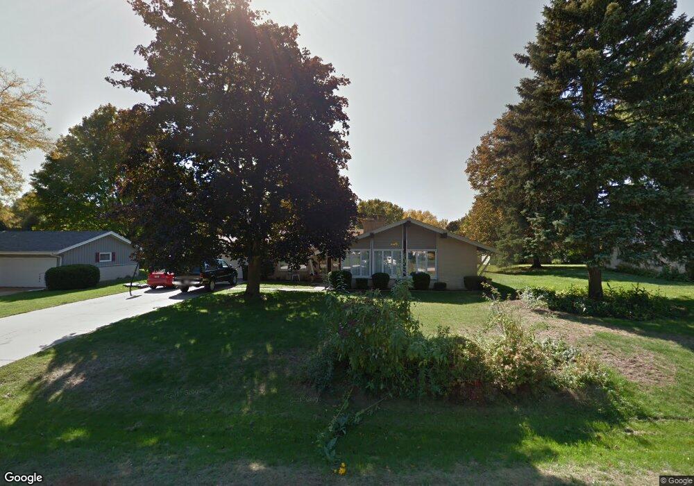
6379 W Carolann Dr Milwaukee, WI 53223
Estimated Value: $353,438 - $361,000
--
Bed
--
Bath
1,953
Sq Ft
$183/Sq Ft
Est. Value
About This Home
This home is located at 6379 W Carolann Dr, Milwaukee, WI 53223 and is currently estimated at $358,110, approximately $183 per square foot. 6379 W Carolann Dr is a home located in Milwaukee County with nearby schools including Brown Deer Elementary School, Brown Deer Middle/High School, and New World Montessori School.
Ownership History
Date
Name
Owned For
Owner Type
Purchase Details
Closed on
Jul 16, 2004
Sold by
Schultz Dorothy J
Bought by
Xiong Young Paul and Xiong Ge
Current Estimated Value
Home Financials for this Owner
Home Financials are based on the most recent Mortgage that was taken out on this home.
Original Mortgage
$158,800
Interest Rate
6.17%
Mortgage Type
Stand Alone First
Create a Home Valuation Report for This Property
The Home Valuation Report is an in-depth analysis detailing your home's value as well as a comparison with similar homes in the area
Home Values in the Area
Average Home Value in this Area
Purchase History
| Date | Buyer | Sale Price | Title Company |
|---|---|---|---|
| Xiong Young Paul | $198,500 | -- |
Source: Public Records
Mortgage History
| Date | Status | Borrower | Loan Amount |
|---|---|---|---|
| Previous Owner | Xiong Young Paul | $158,800 |
Source: Public Records
Tax History Compared to Growth
Tax History
| Year | Tax Paid | Tax Assessment Tax Assessment Total Assessment is a certain percentage of the fair market value that is determined by local assessors to be the total taxable value of land and additions on the property. | Land | Improvement |
|---|---|---|---|---|
| 2024 | $6,134 | $313,600 | $40,000 | $273,600 |
| 2023 | $6,134 | -- | -- | -- |
| 2022 | $6,134 | $280,300 | $40,000 | $240,300 |
| 2021 | $5,868 | $241,700 | $40,000 | $201,700 |
| 2020 | $5,616 | $214,400 | $40,000 | $174,400 |
| 2019 | $5,174 | $172,700 | $40,000 | $132,700 |
| 2018 | $5,807 | $172,700 | $40,000 | $132,700 |
| 2017 | $4,865 | $172,700 | $40,000 | $132,700 |
| 2016 | $4,995 | $172,700 | $40,000 | $132,700 |
| 2015 | $5,108 | $172,700 | $40,000 | $132,700 |
| 2014 | $5,187 | $176,400 | $48,100 | $128,300 |
| 2013 | $5,317 | $176,400 | $48,100 | $128,300 |
Source: Public Records
Map
Nearby Homes
- 6549 W Donges Ln
- 9125 N Brandybrook Trail
- 5889 W Silverleaf Ln
- 9150 N 60th St
- 6987 W Glenbrook Rd Unit 9
- 6123 W County Line Rd
- 6989 W Glenbrook Rd Unit 1
- 9014 N 70th St Unit 6
- 9034 N 70th St Unit 2
- 5503 W Silverleaf Ln
- 9211 N 70th St Unit 2
- 9141 N 70th St
- 9125 N 70th St Unit 5
- 6901 W Greenbrook Ct
- 5836 W Green Brook Dr
- 6900 W Beatrice Ct
- 9001 N 70th St
- 5901 W Brown Deer Rd Unit 117
- 8680 N 63rd St
- 8684 N 62nd St
- 6347 W Carolann Dr
- 6415 W Carolann Dr
- 6358 W Pierner Place
- 6388 W Pierner Place
- 6325 W Carolann Dr
- 6378 W Carolann Dr
- 6326 W Pierner Place
- 6424 W Pierner Place
- 6437 W Carolann Dr
- 6342 W Carolann Dr
- 6412 W Carolann Dr
- 6326 W Carolann Dr
- 6294 W Pierner Place
- 6442 W Pierner Place
- 6265 W Carolann Dr
- 6473 W Carolann Dr
- 6456 W Carolann Dr
- 6373 W Glenbrook Rd
- 6355 W Pierner Place
- 6397 W Pierner Place