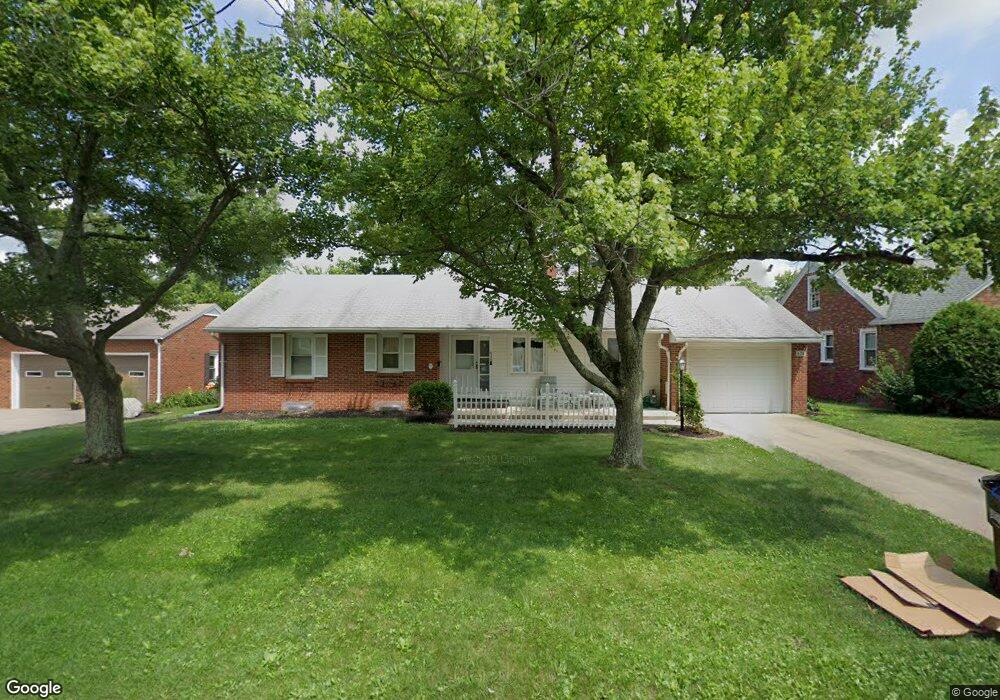
638 Barnard Ave Mansfield, OH 44903
Estimated Value: $149,000 - $163,000
2
Beds
2
Baths
1,196
Sq Ft
$130/Sq Ft
Est. Value
About This Home
This home is located at 638 Barnard Ave, Mansfield, OH 44903 and is currently estimated at $155,666, approximately $130 per square foot. 638 Barnard Ave is a home located in Richland County with nearby schools including Discovery School, St. Peter's High School/Junior High, and St. Peter's Elementary/Montessori School.
Ownership History
Date
Name
Owned For
Owner Type
Purchase Details
Closed on
Oct 14, 2010
Sold by
Stevens Peggy and Mayer Patricia Ann
Bought by
Mcglone Wendy A
Current Estimated Value
Home Financials for this Owner
Home Financials are based on the most recent Mortgage that was taken out on this home.
Original Mortgage
$71,930
Outstanding Balance
$48,114
Interest Rate
4.62%
Mortgage Type
FHA
Estimated Equity
$107,552
Purchase Details
Closed on
Jun 24, 1998
Sold by
Ludwig Martha M
Bought by
Mayer Patricia A
Purchase Details
Closed on
Aug 1, 1985
Purchase Details
Closed on
Jul 1, 1985
Create a Home Valuation Report for This Property
The Home Valuation Report is an in-depth analysis detailing your home's value as well as a comparison with similar homes in the area
Home Values in the Area
Average Home Value in this Area
Purchase History
| Date | Buyer | Sale Price | Title Company |
|---|---|---|---|
| Mcglone Wendy A | $72,900 | Barrister Lawyers Title | |
| Mayer Patricia A | $85,000 | -- | |
| -- | $53,000 | -- | |
| -- | $21,500 | -- |
Source: Public Records
Mortgage History
| Date | Status | Borrower | Loan Amount |
|---|---|---|---|
| Open | Mcglone Wendy A | $71,930 |
Source: Public Records
Tax History Compared to Growth
Tax History
| Year | Tax Paid | Tax Assessment Tax Assessment Total Assessment is a certain percentage of the fair market value that is determined by local assessors to be the total taxable value of land and additions on the property. | Land | Improvement |
|---|---|---|---|---|
| 2024 | $1,680 | $35,870 | $5,290 | $30,580 |
| 2023 | $1,680 | $35,870 | $5,290 | $30,580 |
| 2022 | $1,419 | $25,400 | $4,540 | $20,860 |
| 2021 | $1,429 | $25,400 | $4,540 | $20,860 |
| 2020 | $1,461 | $25,400 | $4,540 | $20,860 |
| 2019 | $1,620 | $25,400 | $4,540 | $20,860 |
| 2018 | $1,597 | $25,400 | $4,540 | $20,860 |
| 2017 | $1,554 | $25,400 | $4,540 | $20,860 |
| 2016 | $1,611 | $25,530 | $5,790 | $19,740 |
| 2015 | $1,539 | $25,530 | $5,790 | $19,740 |
| 2014 | $1,519 | $25,530 | $5,790 | $19,740 |
| 2012 | $579 | $25,530 | $6,090 | $19,440 |
Source: Public Records
Map
Nearby Homes
- 679 Coleman Rd
- 616 Cline Ave
- 538 Broadview Ave
- 408 Fairlawn Ave
- 191 Fairlawn Ave
- 133 Stewart Ave S
- 118 Parkwood Blvd
- 212 Marlow Rd
- 126 Dawson Ave
- 143 Fairlawn Ave
- 135 Fairlawn Ave
- 129 Fairlawn Ave
- 78 Glenwood Blvd
- 71 Glenwood Blvd
- 88 Sherman Ave
- 41 Parkwood Blvd
- 190 S Linden Rd
- 76 Bartley Ave
- 24 Stewart Ave S
- 21 Glenwood Blvd
- 628 Barnard Ave
- 644 Barnard Ave
- 0 Barnard Ave
- 643 Coleman Rd
- 633 Coleman Rd
- 624 Barnard Ave
- 650 Barnard Ave
- 620 Barnard Ave
- 637 Barnard Ave
- 655 Coleman Rd
- 631 Barnard Ave
- 643 Barnard Ave
- 621 Coleman Rd
- 625 Barnard Ave
- 653 Barnard Ave
- 612 Barnard Ave
- 619 Barnard Ave
- 638 Coleman Rd
- 642 Coleman Rd
- 632 Coleman Rd