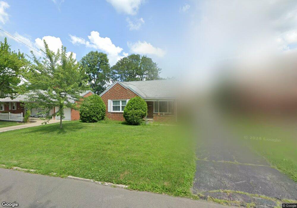
628 Barnard Ave Mansfield, OH 44903
Mansfield AreaEstimated Value: $129,000 - $149,000
About This Home
This home is located at 628 Barnard Ave, Mansfield, OH 44903 and is currently estimated at $138,091, approximately $135 per square foot. 628 Barnard Ave is a home located in Richland County with nearby schools including Discovery School and St. Peter's Junior High / High School.
Ownership History
We collect this data history from publicly available records. To have your information removed, we recommend requesting removal directly through your county’s website.
Purchase Details
Home Financials for this Owner
Home Financials are based on the most recent Mortgage that was taken out on this home.Purchase Details
Purchase Details
Home Values in the Area
Average Home Value in this Area
Purchase History
We collect this data history from publicly available records. To have your information removed, we recommend requesting removal directly through your county’s website.
| Date | Buyer | Sale Price | Title Company |
|---|---|---|---|
| $95,000 | Chicago Title | ||
| -- | Attorney | ||
| $41,500 | -- |
Mortgage History
We collect this data history from publicly available records. To have your information removed, we recommend requesting removal directly through your county’s website.
| Date | Status | Borrower | Loan Amount |
|---|---|---|---|
| Open | $78,000 | ||
| Previous Owner | $30,000 |
Tax History
We collect this data history from publicly available records. To have your information removed, we recommend requesting removal directly through your county’s website.
| Year | Tax Paid | Tax Assessment Tax Assessment Total Assessment is a certain percentage of the fair market value that is determined by local assessors to be the total taxable value of land and additions on the property. | Land | Improvement |
|---|---|---|---|---|
| 2025 | $1,442 | $31,510 | $4,540 | $26,970 |
| 2024 | $1,442 | $31,510 | $4,540 | $26,970 |
| 2023 | $1,475 | $31,510 | $4,540 | $26,970 |
| 2022 | $1,262 | $22,580 | $3,900 | $18,680 |
| 2021 | $1,270 | $22,580 | $3,900 | $18,680 |
| 2020 | $1,299 | $22,580 | $3,900 | $18,680 |
| 2019 | $1,440 | $22,580 | $3,900 | $18,680 |
| 2018 | $870 | $22,580 | $3,900 | $18,680 |
| 2017 | $823 | $22,580 | $3,900 | $18,680 |
| 2016 | $800 | $21,420 | $5,000 | $16,420 |
| 2015 | $800 | $21,420 | $5,000 | $16,420 |
| 2014 | $754 | $21,420 | $5,000 | $16,420 |
| 2012 | $268 | $21,420 | $5,260 | $16,160 |
Map
- 679 Arlington Ave
- 562 Arlington Ave
- 501 Forest St
- 551 Cline Ave
- 544 Arlington Ave
- 219 Euclid Ave
- 575 Maple St
- 547 Maple St
- 908 E Linden Cir
- 521 Woodland Rd
- 116 Stewart Ave S
- 140 Sherman Ave
- 107 Glenwood Blvd
- 211 Oakwood Dr
- 78 Parkwood Blvd
- 42 Parkwood Blvd
- 356 Townview Cir N
- 500 Shepard Rd
- 81 Bartley Ave
- 370 Ruth Ave
- 619 Barnard Ave
- 611 Barnard Ave
- 625 Barnard Ave
- 607 Barnard Ave
- 631 Barnard Ave
- 614 Manchester Rd
- 624 Barnard Ave
- 620 Manchester Rd
- 608 Manchester Rd
- 626 Manchester Rd
- 620 Barnard Ave
- 599 Barnard Ave
- 600 Manchester Rd
- 612 Barnard Ave
- 597 Barnard Ave
- 637 Barnard Ave
- 0 Barnard Ave
- 632 Manchester Rd
- 606 Barnard Ave
- 594 Manchester Rd
Ask me questions while you tour the home.