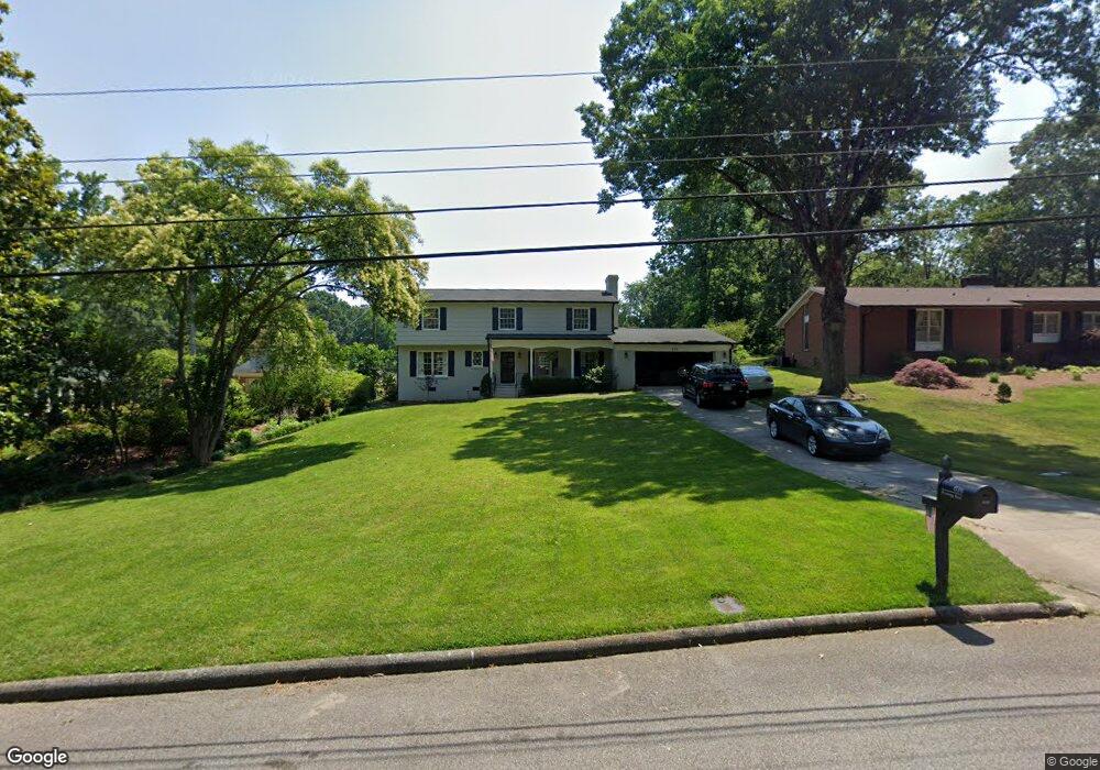
638 Brownrigg Rd Salisbury, NC 28144
Estimated Value: $225,000 - $291,000
Studio
3
Baths
1,342
Sq Ft
$192/Sq Ft
Est. Value
About This Home
This home is located at 638 Brownrigg Rd, Salisbury, NC 28144 and is currently estimated at $257,796, approximately $192 per square foot. 638 Brownrigg Rd is a home located in Rowan County with nearby schools including Carroll T Overton Elementary School, North Rowan Middle School, and Salisbury High School.
Ownership History
Date
Name
Owned For
Owner Type
Purchase Details
Closed on
May 19, 2023
Sold by
Smith Cameron Garrett and Clayton Caviness
Bought by
Martinez Hernandez Moises and Rosales Telma C
Current Estimated Value
Purchase Details
Closed on
Aug 20, 1999
Bought by
Mason Glenn W and Mason Wf
Create a Home Valuation Report for This Property
The Home Valuation Report is an in-depth analysis detailing your home's value as well as a comparison with similar homes in the area
Home Values in the Area
Average Home Value in this Area
Purchase History
| Date | Buyer | Sale Price | Title Company |
|---|---|---|---|
| Martinez Hernandez Moises | $290,000 | None Listed On Document | |
| Mason Glenn W | $121,500 | -- |
Source: Public Records
Tax History
| Year | Tax Paid | Tax Assessment Tax Assessment Total Assessment is a certain percentage of the fair market value that is determined by local assessors to be the total taxable value of land and additions on the property. | Land | Improvement |
|---|---|---|---|---|
| 2025 | $2,949 | $246,568 | $42,372 | $204,196 |
| 2024 | $2,949 | $246,568 | $42,372 | $204,196 |
| 2023 | $2,949 | $246,568 | $42,372 | $204,196 |
| 2022 | $2,058 | $149,459 | $42,372 | $107,087 |
| 2021 | $2,058 | $149,459 | $42,372 | $107,087 |
| 2020 | $2,058 | $149,459 | $42,372 | $107,087 |
| 2019 | $2,058 | $149,459 | $42,372 | $107,087 |
| 2018 | $1,802 | $132,614 | $42,372 | $90,242 |
| 2017 | $1,792 | $132,614 | $42,372 | $90,242 |
| 2016 | $1,743 | $132,614 | $42,372 | $90,242 |
| 2015 | $1,754 | $132,614 | $42,372 | $90,242 |
| 2014 | $1,772 | $135,572 | $42,372 | $93,200 |
Source: Public Records
Map
Nearby Homes
- 1111 N Jackson St
- 1329 Maxwell St
- 1201 N Church St
- 1460 N Jackson St
- 1008 N Main St
- 321 W 14th St
- 921 Confederate Ave
- 127 E 11th St
- 113 E Miller St
- 233 Annandale Ave
- 0 W Henderson St
- 1121 Richard St
- 115 E Steele St
- 200 W Lafayette St
- 961 Confederate Ave
- 224 E Steele St
- 8 N Road Cir
- 10 North Rd
- 107 W 17th St
- 1270 N Shaver St
- 634 Brownrigg Rd
- 1221 Maxwell St
- 1215 Maxwell St
- 630 Brownrigg Rd
- 641 Brownrigg Rd
- 711 Brownrigg Rd
- 628 Brownrigg Rd
- 1233 Maxwell St
- 1228 Maxwell St
- 1216 Maxwell St
- 700 Brownrigg Rd
- 1208 Maxwell St
- 1230 Maxwell St
- 626 Brownrigg Rd
- 550 Club House Dr
- 550 Club Dr
- 540 Club Dr
- 1237 Maxwell St
- 520 Club Dr
- 1232 Maxwell St
Your Personal Tour Guide
Ask me questions while you tour the home.