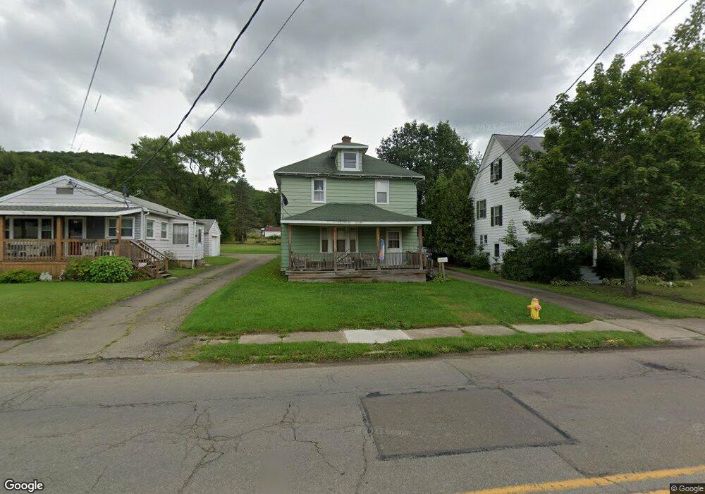
638 E Main St Bradford, PA 16701
Estimated Value: $82,598 - $143,000
--
Bed
--
Bath
984
Sq Ft
$121/Sq Ft
Est. Value
About This Home
This home is located at 638 E Main St, Bradford, PA 16701 and is currently estimated at $119,150, approximately $121 per square foot. 638 E Main St is a home located in McKean County with nearby schools including George Blaisdell Elementary School, School Street Elementary School, and Floyd C. Fretz Middle School.
Ownership History
Date
Name
Owned For
Owner Type
Purchase Details
Closed on
Dec 6, 2024
Sold by
Kervin Lois M and Kervin Michael J
Bought by
Mcguire Cindy A
Current Estimated Value
Purchase Details
Closed on
Nov 15, 2024
Sold by
Merry William J and Kervin Lois M
Bought by
Kervin Lois M
Purchase Details
Closed on
Apr 7, 2010
Sold by
Lyons Patrick J and Lyons Anita
Bought by
Merry William J and Merry Marie
Create a Home Valuation Report for This Property
The Home Valuation Report is an in-depth analysis detailing your home's value as well as a comparison with similar homes in the area
Home Values in the Area
Average Home Value in this Area
Purchase History
| Date | Buyer | Sale Price | Title Company |
|---|---|---|---|
| Mcguire Cindy A | -- | None Listed On Document | |
| Mcguire Cindy A | -- | None Listed On Document | |
| Kervin Lois M | -- | None Listed On Document | |
| Kervin Lois M | -- | None Listed On Document | |
| Merry William J | $55,000 | None Available |
Source: Public Records
Tax History Compared to Growth
Tax History
| Year | Tax Paid | Tax Assessment Tax Assessment Total Assessment is a certain percentage of the fair market value that is determined by local assessors to be the total taxable value of land and additions on the property. | Land | Improvement |
|---|---|---|---|---|
| 2025 | $2,250 | $41,200 | $10,000 | $31,200 |
| 2024 | $2,179 | $41,200 | $10,000 | $31,200 |
| 2023 | $2,179 | $41,200 | $10,000 | $31,200 |
| 2022 | $2,179 | $41,200 | $10,000 | $31,200 |
| 2021 | $2,179 | $41,200 | $10,000 | $31,200 |
| 2020 | $2,179 | $41,200 | $10,000 | $31,200 |
| 2019 | $2,117 | $41,200 | $10,000 | $31,200 |
| 2018 | $21 | $41,200 | $10,000 | $31,200 |
| 2017 | -- | $41,200 | $10,000 | $31,200 |
| 2016 | $2,045 | $41,200 | $10,000 | $31,200 |
| 2015 | $1,021 | $41,200 | $10,000 | $31,200 |
| 2014 | $1,021 | $41,200 | $10,000 | $31,200 |
Source: Public Records
Map
Nearby Homes
- 17 Hawthorne Rd
- 520 E Main St
- 124 Russell Blvd
- 100 Cornen St
- 49 Cornen St
- 187 Seaward Ave
- 133 Rockland Ave
- 61 Oxford St
- 71 Oxford St
- 82 Oxford St
- 212 Constitution Ave
- 149 Jackson Ave
- 00 Lincoln Ave
- 28 Rosedale Ave
- 79 Main St
- 28 Colonial Heights
- 22 Williams St
- 65 Jackson Ave
- 170 Elm St
- 26 Jackson Ave