638 Forest Trail Sawyer, MI 49125
Shorewood-Tower Hills-Harbert NeighborhoodEstimated Value: $743,000 - $1,101,749
5
Beds
3
Baths
1,368
Sq Ft
$665/Sq Ft
Est. Value
About This Home
This home is located at 638 Forest Trail, Sawyer, MI 49125 and is currently estimated at $909,687, approximately $664 per square foot. 638 Forest Trail is a home located in Berrien County with nearby schools including Chikaming Elementary School, Three Oaks Elementary School, and River Valley Middle/High School.
Ownership History
Date
Name
Owned For
Owner Type
Purchase Details
Closed on
Jun 21, 2017
Sold by
Kinnamon Sally A and Kinnamon Family Trust
Bought by
Molthan Randall and Molthan Eleanor
Current Estimated Value
Purchase Details
Closed on
May 20, 2008
Sold by
Kinnamon Ronald and Kinnamon Sally A
Bought by
Kinnamon Ronald and Kinnamon Sally A
Purchase Details
Closed on
Sep 5, 2000
Purchase Details
Closed on
Aug 5, 1991
Create a Home Valuation Report for This Property
The Home Valuation Report is an in-depth analysis detailing your home's value as well as a comparison with similar homes in the area
Home Values in the Area
Average Home Value in this Area
Purchase History
| Date | Buyer | Sale Price | Title Company |
|---|---|---|---|
| Molthan Randall | -- | None Available | |
| Kinnamon Ronald | -- | None Available | |
| -- | $435,000 | -- | |
| -- | $225,000 | -- |
Source: Public Records
Tax History Compared to Growth
Tax History
| Year | Tax Paid | Tax Assessment Tax Assessment Total Assessment is a certain percentage of the fair market value that is determined by local assessors to be the total taxable value of land and additions on the property. | Land | Improvement |
|---|---|---|---|---|
| 2025 | $13,485 | $464,800 | $0 | $0 |
| 2024 | $11,643 | $1,001,100 | $0 | $0 |
| 2023 | $11,091 | $892,000 | $0 | $0 |
| 2022 | $10,563 | $326,100 | $0 | $0 |
| 2021 | $11,552 | $325,900 | $237,800 | $88,100 |
| 2020 | $11,411 | $292,500 | $0 | $0 |
| 2019 | $12,262 | $376,700 | $237,800 | $138,900 |
| 2018 | $14,412 | $376,700 | $0 | $0 |
| 2017 | $5,254 | $386,000 | $0 | $0 |
| 2016 | $4,819 | $330,600 | $0 | $0 |
| 2015 | $4,803 | $308,800 | $0 | $0 |
| 2014 | $3,837 | $323,900 | $0 | $0 |
Source: Public Records
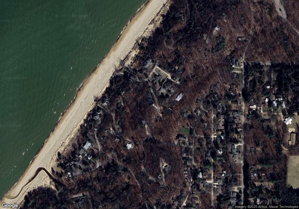
Map
Nearby Homes
- 12370 Dunes Rd
- 6265 Elm Dr
- 6490 E Chikaming
- 6056 Clary Ct
- 0 Tower Hill Dr
- 12435 Sandpiper Ln
- 5831 Browntown Rd
- 12980 Crestview Dr
- 6454 Sweetbriar Ct
- 6440 Sweetbriar Ct
- 13025 Red Arrow Hwy
- 13176 Red Arrow Hwy
- ABC Greenbush Ct
- VL # 1 + 3 S Dune Rd
- VL # 2 S Dune Rd
- VL # 2 + 4 S Dune Rd
- VL # 1 S Dune Rd
- 12856 Flynn Rd
- 5407 Browntown Rd
- 5650 Lily Ln
- 638 Longwood Dr
- 640 Longwood Dr
- 635 Forest Trail
- 348 Forest Trail
- 634 Forest Trail
- 674 Longwood Dr
- 651 Longwood Dr
- 347 Forest Trail
- 346 Forest Trail
- 610 Indian Trail
- 650 Longwood Dr
- 643 Longwood Dr
- 643 Longwood Dr
- 345 Forest Trail
- 648 Longwood Dr N
- 344 Forest Trail
- 344 Forest Trail
- 648 Longwood Dr
- 646 Longwood Dr
- 145 Hillside Dr