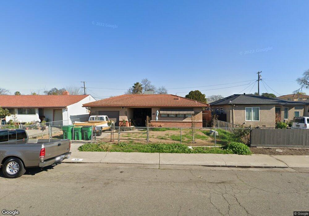
638 N Laurel St Stockton, CA 95205
East Stockton NeighborhoodEstimated Value: $191,000 - $361,000
2
Beds
1
Bath
1,042
Sq Ft
$299/Sq Ft
Est. Value
About This Home
This home is located at 638 N Laurel St, Stockton, CA 95205 and is currently estimated at $311,188, approximately $298 per square foot. 638 N Laurel St is a home located in San Joaquin County with nearby schools including John C. Fremont Elementary School, Fillmore Elementary School, and King Elementary School.
Ownership History
Date
Name
Owned For
Owner Type
Purchase Details
Closed on
Feb 28, 2013
Sold by
Andresakis Gary J and The Maureen Andresakis Trust
Bought by
Diaz Jose and Diaz Carolina
Current Estimated Value
Purchase Details
Closed on
Jan 5, 1999
Sold by
Ann Andresakis Maureen
Bought by
Andresakis Maureen and The Maureen Andresakis Trust
Create a Home Valuation Report for This Property
The Home Valuation Report is an in-depth analysis detailing your home's value as well as a comparison with similar homes in the area
Home Values in the Area
Average Home Value in this Area
Purchase History
| Date | Buyer | Sale Price | Title Company |
|---|---|---|---|
| Diaz Jose | $72,000 | First American Title Company | |
| Andresakis Maureen | -- | -- |
Source: Public Records
Tax History Compared to Growth
Tax History
| Year | Tax Paid | Tax Assessment Tax Assessment Total Assessment is a certain percentage of the fair market value that is determined by local assessors to be the total taxable value of land and additions on the property. | Land | Improvement |
|---|---|---|---|---|
| 2025 | $1,143 | $88,655 | $24,625 | $64,030 |
| 2024 | $1,125 | $86,918 | $24,143 | $62,775 |
| 2023 | $1,100 | $85,215 | $23,670 | $61,545 |
| 2022 | $1,061 | $83,545 | $23,206 | $60,339 |
| 2021 | $1,020 | $81,907 | $22,751 | $59,156 |
| 2020 | $1,039 | $81,068 | $22,518 | $58,550 |
| 2019 | $1,035 | $79,479 | $22,077 | $57,402 |
| 2018 | $1,016 | $77,922 | $21,645 | $56,277 |
| 2017 | $963 | $76,395 | $21,221 | $55,174 |
| 2016 | $980 | $74,897 | $20,805 | $54,092 |
| 2014 | $934 | $72,327 | $20,091 | $52,236 |
Source: Public Records
Map
Nearby Homes
- 1916 Vicki Ln
- 1804 E Flora St
- 1845 E Poplar St
- 328 Florence St
- 312 Florence St
- 714 Belvedere Ave
- 1813 E Anita St
- 1926 E Roosevelt St
- 2327 E Acacia St
- 2125 E Myrtle St
- 2416 E Poplar St
- 644 N Airport Way
- 1257 Sunnyside Ave
- 1902 E Harding Way
- 1404 Williams St
- 834 N Filbert St
- 2319 E Washington St
- 1037 N Airport Way
- 1143 E Park St
- 1123 E Park St
- 634 N Laurel St
- 644 N Laurel St
- 633 N Watts Ave
- 652 N Laurel St
- 618 N Laurel St
- 625 N Watts Ave
- 645 N Watts Ave
- 660 N Laurel St
- 609 N Watts Ave
- 645 N Laurel St
- 631 N Laurel St
- 608 N Laurel St
- 659 N Watts Ave
- 623 N Laurel St
- 702 N Laurel St
- 657 N Laurel St
- 605 N Watts Ave
- 705 N Watts Ave
- 611 N Laurel St
- 606 N Laurel St