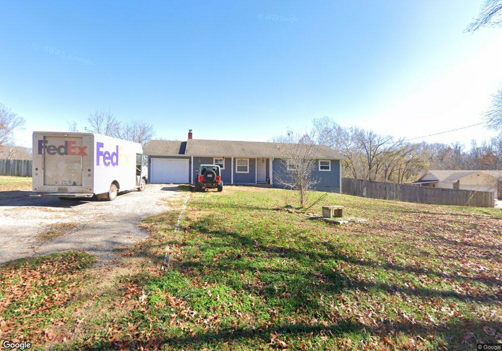
638 Russell Rd Rogers, AR 72756
Estimated Value: $244,095 - $283,000
--
Bed
2
Baths
1,196
Sq Ft
$222/Sq Ft
Est. Value
About This Home
This home is located at 638 Russell Rd, Rogers, AR 72756 and is currently estimated at $265,274, approximately $221 per square foot. 638 Russell Rd is a home located in Benton County with nearby schools including Grace Hill Elementary School, Oakdale Middle School, and Rogers Heritage High School.
Ownership History
Date
Name
Owned For
Owner Type
Purchase Details
Closed on
Nov 4, 2002
Bought by
Thornhill
Current Estimated Value
Purchase Details
Closed on
Jun 20, 2001
Bought by
Elliott
Purchase Details
Closed on
Mar 4, 1991
Bought by
Elliott
Purchase Details
Closed on
Sep 26, 1990
Bought by
Hud
Purchase Details
Closed on
Jun 8, 1990
Bought by
Fleet Funding
Purchase Details
Closed on
Nov 4, 1986
Bought by
Singer
Purchase Details
Closed on
Aug 21, 1984
Bought by
Norwood
Create a Home Valuation Report for This Property
The Home Valuation Report is an in-depth analysis detailing your home's value as well as a comparison with similar homes in the area
Home Values in the Area
Average Home Value in this Area
Purchase History
| Date | Buyer | Sale Price | Title Company |
|---|---|---|---|
| Thornhill | $77,000 | -- | |
| Elliott | $95,000 | -- | |
| Elliott | -- | -- | |
| Hud | -- | -- | |
| Fleet Funding | -- | -- | |
| Singer | $44,000 | -- | |
| Norwood | -- | -- | |
| Norwood | $43,000 | -- |
Source: Public Records
Tax History Compared to Growth
Tax History
| Year | Tax Paid | Tax Assessment Tax Assessment Total Assessment is a certain percentage of the fair market value that is determined by local assessors to be the total taxable value of land and additions on the property. | Land | Improvement |
|---|---|---|---|---|
| 2025 | $1,174 | $39,897 | $10,000 | $29,897 |
| 2024 | $1,057 | $39,897 | $10,000 | $29,897 |
| 2023 | $1,006 | $28,000 | $3,800 | $24,200 |
| 2022 | $810 | $28,000 | $3,800 | $24,200 |
| 2021 | $760 | $28,000 | $3,800 | $24,200 |
| 2020 | $714 | $18,190 | $1,500 | $16,690 |
| 2019 | $714 | $18,190 | $1,500 | $16,690 |
| 2018 | $739 | $18,190 | $1,500 | $16,690 |
| 2017 | $675 | $18,190 | $1,500 | $16,690 |
| 2016 | $675 | $18,190 | $1,500 | $16,690 |
| 2015 | $859 | $17,860 | $3,200 | $14,660 |
| 2014 | $659 | $17,860 | $3,200 | $14,660 |
Source: Public Records
Map
Nearby Homes
- 469 Sheppard Rd
- 13585 Andy Jack Rd
- TBD Rader Rd
- 0 Rader Rd Unit 1290308
- 969 Rader Rd
- 329 Rader Rd
- 13482 Sugar Creek Rd
- 13124 Scenic Dr
- GARLAND Plan at Tall Tree
- HOLDEN Plan at Tall Tree
- 989 Red Cedar Place
- 12526 Avoca Hollow Dr
- 13610 Degraff Rd
- 905 Prairie Creek Rd N
- 15049 White Fawn Dr
- 15072 White Fawn Dr
- 2612 Fairway Cir
- 15112 Mills Terrace
- 12831 Douglas Ln
- 2170 Hopkins Ln
- 624 Russell Rd
- 649 Russell Rd
- 662 Russell Rd
- 0 Russell Rd
- 13789 Andy Jack Rd
- 13654 Andy Jack Rd
- 522 Mary Ln
- 0 Highway 62 Unit lot 2 1242273
- 0 Highway 62 Unit 7 1242266
- 0 Highway 62 Unit 9 1242264
- 0 Highway 62 Unit 10 1242242
- 0 Highway 62 Unit 1242273
- 0 Highway 62 Unit 1242264
- 0 Highway 62 Unit 1242266
- 0 Highway 62 Unit 1242270
- 0 Highway 62 Unit 1242272
- 0 Highway 62 Unit 1242242
- 0 Highway 62 Unit 1031285
- 522 Mary Ln
- 525 N Hwy 62