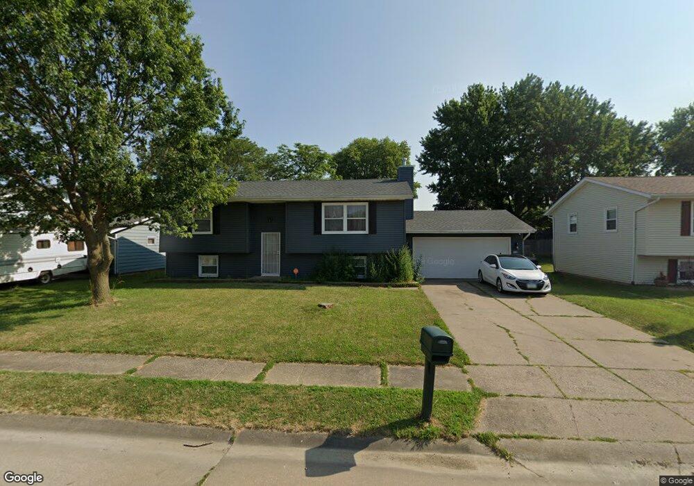
638 W 64th St Davenport, IA 52806
North Side NeighborhoodEstimated Value: $153,000 - $191,120
3
Beds
2
Baths
1,108
Sq Ft
$159/Sq Ft
Est. Value
About This Home
This home is located at 638 W 64th St, Davenport, IA 52806 and is currently estimated at $176,530, approximately $159 per square foot. 638 W 64th St is a home located in Scott County with nearby schools including Cumberland Hall School, Academy Of Continuing Education, and Wood Intermediate School.
Ownership History
Date
Name
Owned For
Owner Type
Purchase Details
Closed on
Sep 23, 2005
Sold by
Jp Morgan Chase Bank
Bought by
Jackson Cherena K
Current Estimated Value
Home Financials for this Owner
Home Financials are based on the most recent Mortgage that was taken out on this home.
Original Mortgage
$67,500
Outstanding Balance
$36,067
Interest Rate
5.83%
Mortgage Type
New Conventional
Estimated Equity
$140,463
Purchase Details
Closed on
Jul 12, 2005
Sold by
Carnahan Wendy M
Bought by
Mortgage Electronic Registration Systems
Create a Home Valuation Report for This Property
The Home Valuation Report is an in-depth analysis detailing your home's value as well as a comparison with similar homes in the area
Home Values in the Area
Average Home Value in this Area
Purchase History
| Date | Buyer | Sale Price | Title Company |
|---|---|---|---|
| Jackson Cherena K | $75,000 | None Available | |
| Jp Morgan Chase Bank | -- | None Available | |
| Mortgage Electronic Registration Systems | $85,425 | None Available |
Source: Public Records
Mortgage History
| Date | Status | Borrower | Loan Amount |
|---|---|---|---|
| Open | Jp Morgan Chase Bank | $67,500 |
Source: Public Records
Tax History Compared to Growth
Tax History
| Year | Tax Paid | Tax Assessment Tax Assessment Total Assessment is a certain percentage of the fair market value that is determined by local assessors to be the total taxable value of land and additions on the property. | Land | Improvement |
|---|---|---|---|---|
| 2025 | $2,744 | $173,600 | $26,100 | $147,500 |
| 2024 | $2,923 | $163,770 | $26,100 | $137,670 |
| 2023 | $2,738 | $163,770 | $26,100 | $137,670 |
| 2022 | $2,622 | $137,070 | $16,310 | $120,760 |
| 2021 | $2,622 | $131,150 | $16,310 | $114,840 |
| 2020 | $2,426 | $120,490 | $16,310 | $104,180 |
| 2019 | $2,268 | $109,560 | $16,310 | $93,250 |
| 2018 | $2,094 | $109,560 | $16,310 | $93,250 |
| 2017 | $2,172 | $104,070 | $16,310 | $87,760 |
| 2016 | $2,088 | $104,070 | $0 | $0 |
| 2015 | $2,088 | $113,520 | $0 | $0 |
| 2014 | $2,328 | $113,520 | $0 | $0 |
| 2013 | $2,284 | $0 | $0 | $0 |
| 2012 | -- | $106,120 | $17,180 | $88,940 |
Source: Public Records
Map
Nearby Homes
- 655 W 64th St
- 665 W 64th St
- 671 W 64th St
- 6322 Appomattox Rd
- 6112 Western Ave
- 6308 Appomattox Rd
- LOT 54 Franklin Ave
- Lot 56 Franklin Ave
- 6205 N Ripley St
- Lot 26 Benjamin Ct
- 6015 Vine St
- 6209 Fair Ave
- 6127 Fair Ave
- 1005 W 58th St
- 1033 W 58th St
- 1301 W 62nd Ct
- 5804 Lillie Ave
- 6109 N Brady St
- 5735 Taylor St
- 5721 Taylor St
- 644 W 64th St
- 628 W 64th St
- 641 - 643 W 64th
- 635 - 637 W 64th
- 6518 Hoover Rd
- 635 W 64th St
- 652 W 64th St
- 6510 Hoover Rd
- 6514 Hoover Rd
- 631 W 64th St
- 629 W 64th St
- 629 W 64th St Unit 31
- 6522 Hoover Rd
- 651 W 64th St
- 623 W 64th St
- 625 W 64th St
- 6506 Hoover Rd
- 660 W 64th St
- 655-657 W 64th St
- 6526 Hoover Rd